 geo.be Metadata Catalog
Science and technology
Type of resources
Available actions
Topics
INSPIRE themes
federalThemes
Keywords
Contact for the resource
Provided by
Years
Formats
Representation types
Update frequencies
status
Service types
Scale
Resolution
-

This web service provides a download per object of the dataset Cadastral parcels - INSPIRE. . This webservice complies with the INSPIRE specifications.
-
This web service provides a display of the dataset Cadastral parcels - INSPIRE. This webservice complies with the INSPIRE specifications and is available in several formats. It is recommended to use the PNG format.
-
This service allows the consultation of the spatial metadata of the collection of historical aerial photographs (1946–2007) of the National Geographic Institute (NGI). The data is accessible via a Web Feature Service (WFS). The aerial photographs themselves are not part of the service. The collection comprises more than 72,000 aerial photographs. The images are predominantly panchromatic (black and white). From the late 1970s onwards, colour images were also acquired, and from late 2004 onwards all images were acquired in colour. The analogue aerial photographs in the collection were scanned at high resolution. This specific service comprises three layers: the centre points (centroids) of the individual aerial photographs, the footprints (the outlines of the area on the ground covered by each photograph) and the flight paths of the aircraft used during image acquisition. For each aerial photograph, all known metadata are included in the attribute table, such as the acquisition date, the flight and the strip, the dimensions, the scale, the ground resolution, the radiometry (black and white or colour), the coordinates of the centre point and the camera, lens and film used. These data make it possible to look up which historical aerial photographs are available for a given location and period, and what the characteristics of each photograph are. The aerial photographs can be ordered in high resolution via https://shop.ngi.be/nl/luchtfotos/.
-
Network of marks whose planimetric coordinates are known with precision according to the reference systems which are used in Belgium.
-
This web service allows dowload ROB datasets. This service is compliant with the INSPIRE specifications.
-
This dataset contains the spatial metadata of the collection of historical aerial photographs (1946–2007) of the National Geographic Institute (NGI). The aerial photographs themselves are not part of the dataset. The collection comprises more than 72,000 aerial photographs. The images are predominantly panchromatic (black and white). From the late 1970s onwards, colour images were also acquired, and from late 2004 onwards all images were acquired in colour. The analogue aerial photographs in the collection were scanned at high resolution. This specific dataset comprises three layers: the centre points (centroids) of the individual aerial photographs, the footprints (the outlines of the area on the ground covered by each photograph) and the flight paths of the aircraft used during image acquisition. For each aerial photograph, all known metadata are included in the attribute table, such as the acquisition date, the flight and the strip, the dimensions, the scale, the ground resolution, the radiometry (black and white or colour), the coordinates of the centre point and the camera, lens and film used. These data make it possible to look up which historical aerial photographs are available for a given location and period, and what the characteristics of each photograph are. The data can be consulted via the corresponding web service (WFS). The aerial photographs can be ordered in high resolution via https://shop.ngi.be/nl/luchtfotos/.
-

This dataset shows a digital surface model. It is a homogeneous and regular points grid which indicates the height above the surface of the earth, either the soil or any other permanent and visible element in the landscape (vegetation, construction,…). These data represent the situation of the landscape resulting from the July 2021 floods in het areas of the Vesdre, of part of the Meuse downstream from Liège and of the Demer.
-

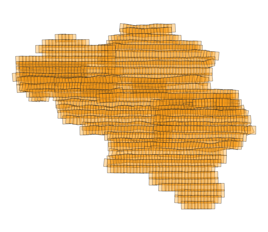
‘Top10Vector – Land cover and Vegetation’ is the vector dataset of the land use categories of undeveloped land areas in Belgium. This dataset comprises 3 feature types, namely isolated [LC_isolatedvegetation] and linear [LC_linearvegetation] vegetation and land cover zones [LC_landcoverzone]. This dataset can be downloaded via the links in ‘Access’ at the bottom of this page.
-

MapIndex is a regular grid of rectangular or square cells coded with alphanumeric characters. It has been defined for the Belgian territory and allows geolacating several events. The present version is a beta (v2)version which is submitted to the emergency services. It will evolve to a standard cartographic grid.
-
The web application G-DOC provides information on all Belgian geodetic reference points. These points can be used as starting points or checkpoints to determine coordinates according to the national reference systems. three groups of geodetic reference points are available: 3D points, altimetric points and planimetric points.