2020
Type of resources
Available actions
Topics
INSPIRE themes
federalThemes
Keywords
Contact for the resource
Provided by
Years
Formats
Representation types
Update frequencies
status
Service types
Scale
Resolution
-
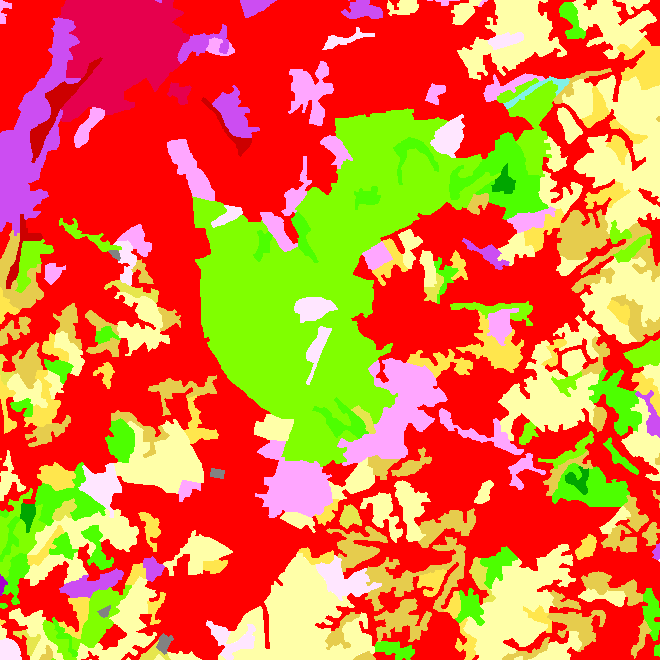
This web service allows downloading datasets from CORINE Land Cover-2018-Belgium, compliant with the INSPIRE data specifications
-

This web service allows viewing datasets from CORINE Land Cover-2018-Belgium.
-

Landuse-Particular Zone is the INSPIRE 2D vector data set of the "Particular zones" layer originated from the Top10vector product of the National Geographic Institute in Belgium . It includes the "ExistingLandUseDataSet" features and the "ExistingLandUseObject" features in accordance with the INSPIRE specifications.
-
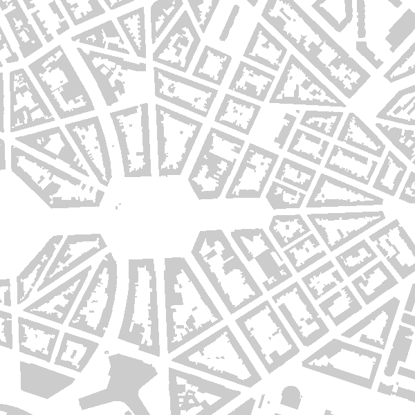
This web service allows viewing datasets from Buildings
-
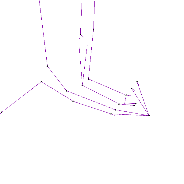
Electricity network is the INSPIRE vector data set originated from the High-Tension network of the product TOP10Vector of the National Geographic Institute in Belgium. The Electricity network is regularly updated with the ELIA Group data sources. It includes the "ElectricityCable" features and the "Pole" features in accordance with the INSPIRE specifications.
-

Buildings is the INSPIRE 2D vector data set of the "Constructions" layer originated from the Top10vector product of the National Geographic Institute in Belgium . It includes the "Building" features and the "OtherConstruction" features in accordance with the INSPIRE specifications.
-
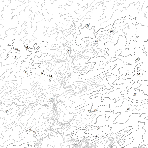
This web service allows viewing datasets from INSPIRE Contour Lines, and DTM.
-
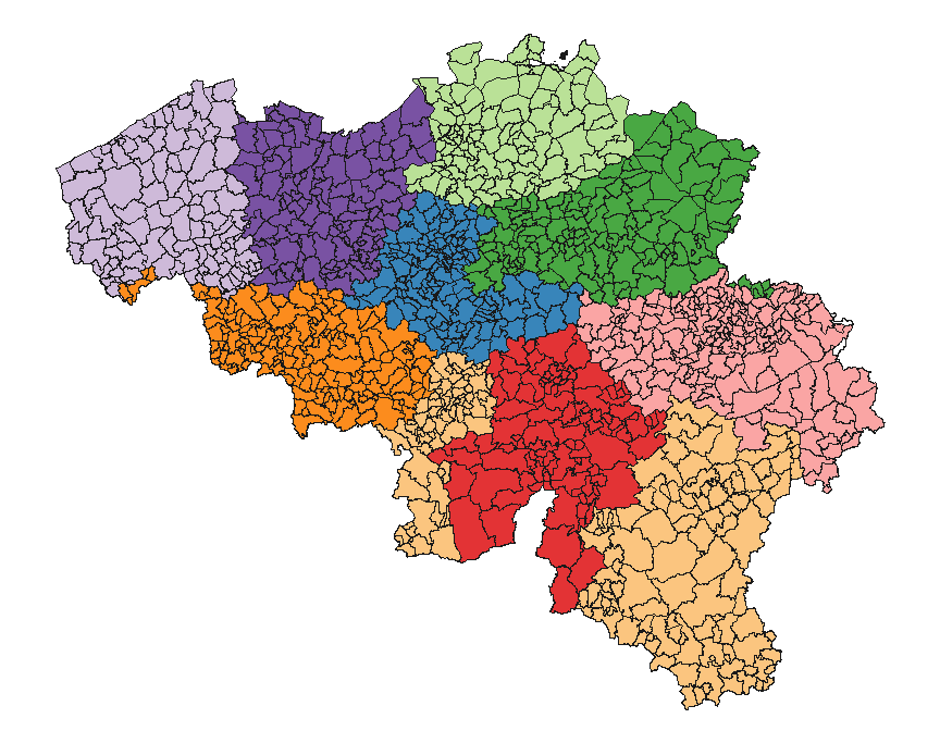
This dataset contains the latest version of the borders of the Belgian postal codes, including the "special" postal codes (0612, 1049, 6099,…).
-

This web service allows viewing datasets from LandUse-Particular Zone
-

This web service allows viewing/downloading datasets from Electricity network
 geo.be Metadata Catalog