view
Type of resources
Available actions
INSPIRE themes
federalThemes
Keywords
Contact for the resource
Provided by
Years
Formats
Update frequencies
status
Service types
-

This web service allows viewing datasets from Buildings
-
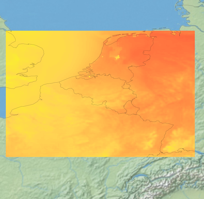
View Service (WMS) for Alaro over Belgium. All the parameters of the last run of Alaro can be visualized, most of them associated with a custom style.
-
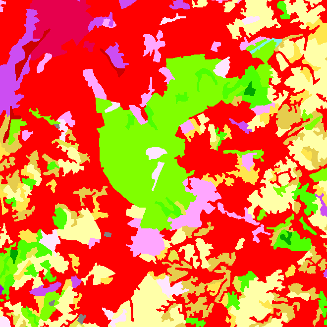
This web service allows viewing datasets from CORINE Land Cover-2018-Belgium.
-

INSPIRE compliant view service for geographic information of general marine datasets made available by the Royal Belgian Institute for Natural Sciences (RBINS). More specific products such as the Marine Spatial Plan and the MSFD data are provided by other WMS services.
-
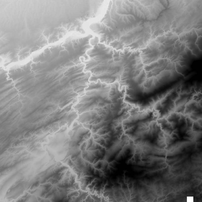
This web service allows the visualization of altimetry data. More specifically, it allows to visualize the National Geographic Institute's digital terrain model and the contours associated with it. This service is compliant with the INSPIRE specifications.
-
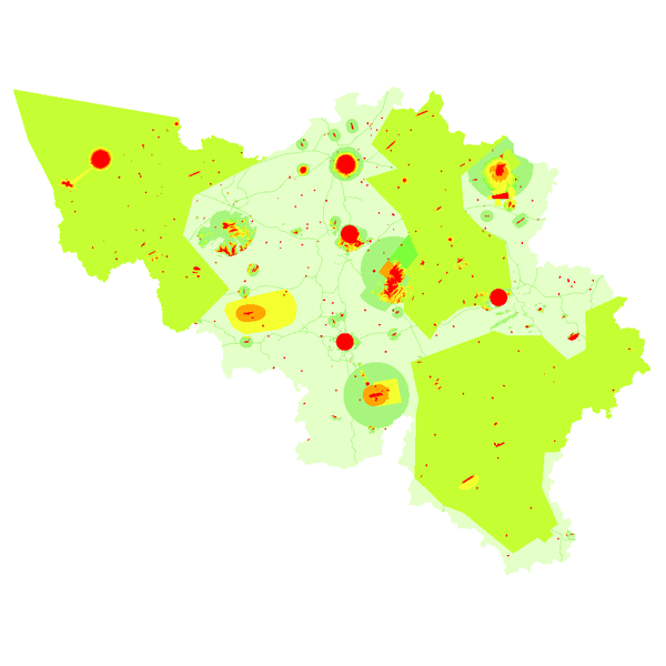
The "Aeronautical Obstacle Evaluation Map for Belgium" allows to know whether advice is required for a construction or structure that, due to its height, may have an influence on aviation: if the planned construction or structure exceeds the height indicated on the map, the Civil Aviation Authority of the Federal Public Service Mobility and Transport should be requested for advice, according to the procedure on https://mobilit.belgium.be/nl/luchtvaart/veiligheid/hindernissen-en-bebakening. The height indicated on the map is determined by the federal ministers responsible for Civil Aviation and Defence. This height is determined in order to protect the civil and military aerodromes, the visual aviation routes, the military aviation areas and the civil and military aeronautical installations for communication, navigation and surveillance (CNS). Consequently, the use of this map allows the application of the following Regulation : Regulation (EC) N° 1108/2009 of the European Parliament and of the Council of 21 October 2009 amending Regulation (EC) No 216/2008 in the field of aerodromes, air traffic management and air navigation services and repealing Directive 2006/23/EC. In the Flemish Region the use of this chart allows the application of the article 35 §16 of “het besluit van de Vlaamse Regering van 27 november 2015 tot uitvoering van het decreet van 25 april 2014 betreffende de omgevingsvergunning”. The same data limited to the flemish Region are available on the Digitaal Vlaanderen website.
-
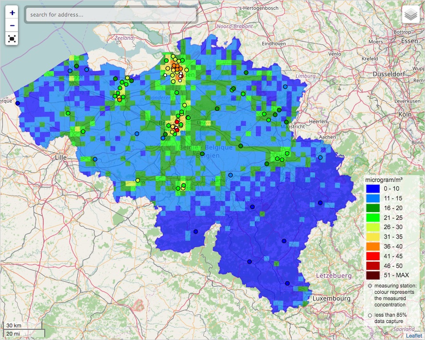
INSPIRE compliant download service for geographic information made available by the Belgian Interregional Environment Agency (IRCEL - CELINE).
-

View Service (WMS) for Automatic weather station (AWS) observations
-
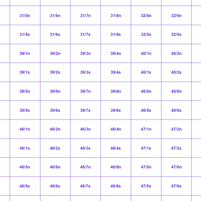
Mapindex is a WMS which allows viewing the regular index grid which has been defined on five levels for the entire Belgian territory. It has been defined in order to allow a zonal geolocation. The present version is a beta version (v2) which is submitted to the emergency services. It will evolve to a standard cartographic grid.
-
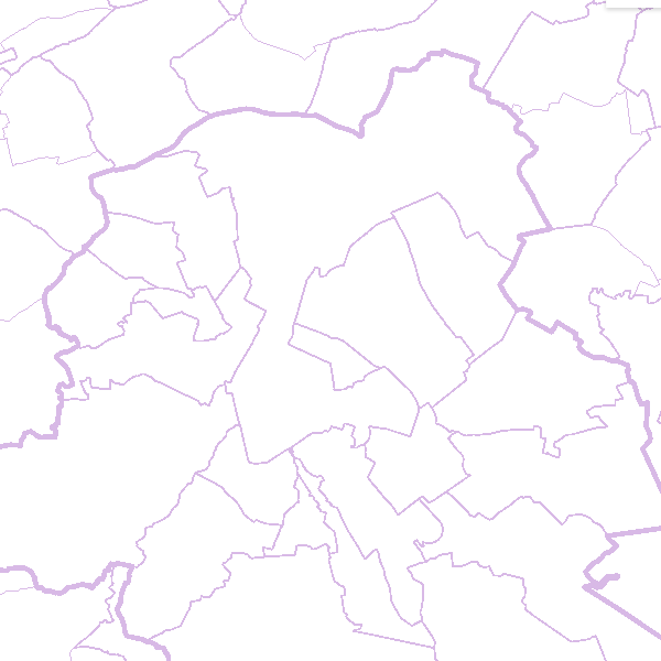
This web service allows viewing the territorial divisions that represent fully recognised Belgian geographical units. The AdminVector dataset encompasses the statistical sectors defined by the FPS Economy, the administrative units maintained by the FPS Finance and their centres, as well as the boundary stones. The datasets of the judicial cantons and judicial districts are built on the basis of their definition in the Judicial Code. The dataset of electoral cantons is built on the basis of its definition in the Electoral Code. The postal cantons dataset is based on the boundaries of the Belgian postal codes managed by bpost.
 geo.be Metadata Catalog