 geo.be Metadata Catalog
2022
Type of resources
Available actions
Topics
INSPIRE themes
federalThemes
Keywords
Contact for the resource
Provided by
Years
Formats
Representation types
Update frequencies
status
Service types
Scale
Resolution
-

This is the discovery service of the pan-European spatial datasets provided by the European mapping and cadastral agencies: EuroGlobalMap, EuroRegionalMap, EuroDEM, Open Cadastral Map, Pan-European Imagery, Open Gazetteer. The datasets are openly available accessible on the platform Open Maps for Europe (OME) http://www.mapsforeurope.org/.
-
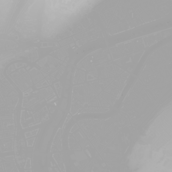
This webservice allows viewing a digital surface model. It is a homogeneous and regular points grid which indicates the height above the surface of the earth, either the soil or any other permanent and visible element in the landscape (vegetation, construction,…). These data represent the situation of the landscape resulting from the July 2021 floods in het areas of the Vesdre, of part of the Meuse downstream from Liège and of the Demer. The heights are given relative to the Belgian zero level (fictitious zero of Uccle). The data have a resolution (size of the meshes of the regular grid) of 20 cm.
-
The localised unemployment rate calibrated on the labour force survey (LFS), by administrative unit (region, province, district and municipality) for Belgium.
-

This AtomFeed download service provides access to datasets of GAPD that are not reported under the INSPIRE Directive. The datasets can be accessible for free or under conditions.
-
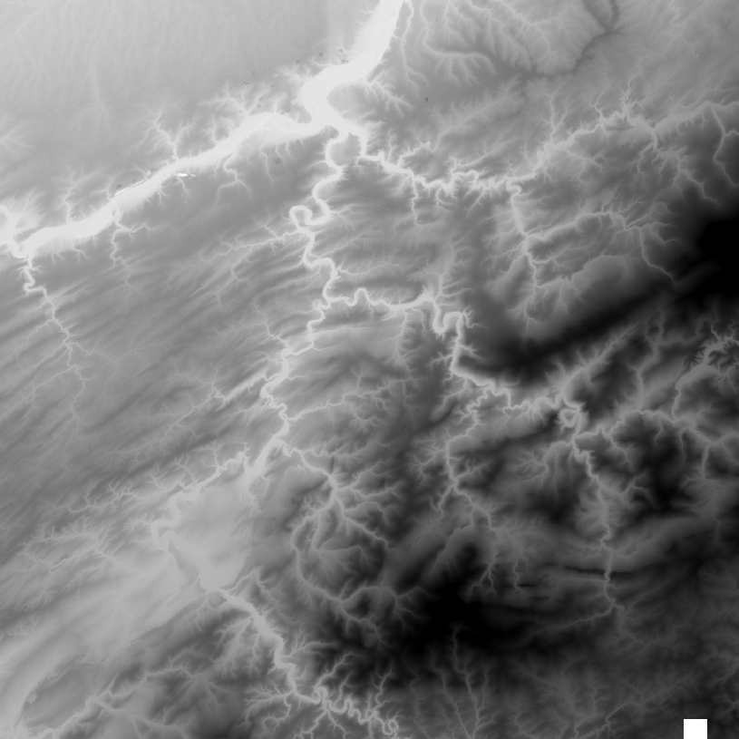
The DTM is a homogeneous and regular point grid indicating the height of the ground level in order to model its surface. The DTM 1m is achieved by interpolating in Lambert 2008 source data in Lambert 72 and at a 1m-resolution from the Flemish and Brussels regions, and by adding Lambert 2008 data at 1m-resolution from the Walloon Region. The DTM 5m has an additional source, namely drawn structure lines and points adapted during systematic and continuous update by photogrammetric surveys. The DTM 20m is obtained by resampling of the DTM 1m.
-
This web service allows the visualization of altimetry data. More specifically, it allows to visualize the National Geographic Institute's digital terrain model and the contours associated with it. This service is compliant with the INSPIRE specifications.
-
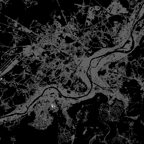
This web service allows viewing CORINE High Resolution Layers Belgium covering the Belgian territory within the framework of a Pan-European coverage. This service is compliant with the INSPIRE specifications.
-
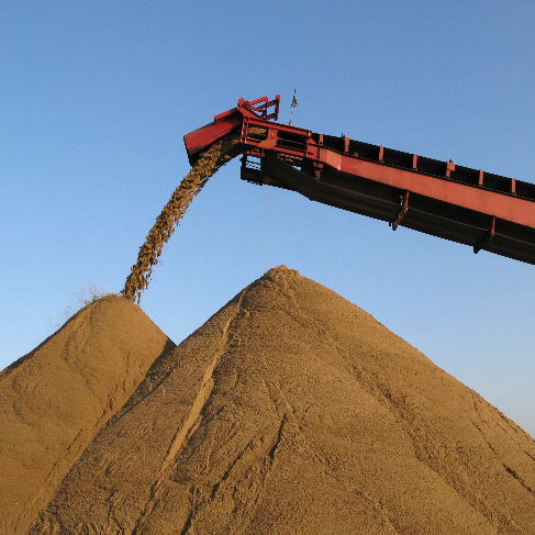
The dataset shows in the form of polygons the sand and gravel extraction sites in the Belgian marine areas as defined by the successive marine spatial plans. A 2014 version illustrates the 2014-2020 plan while the 2020 version illustrates the 2020-2026 plan.
-
Share of the cadastral surface area that is not artificially developed in the cadastral and not unknown surface area to the administrative entity (region, province, district and municipality) for Wallonia
-
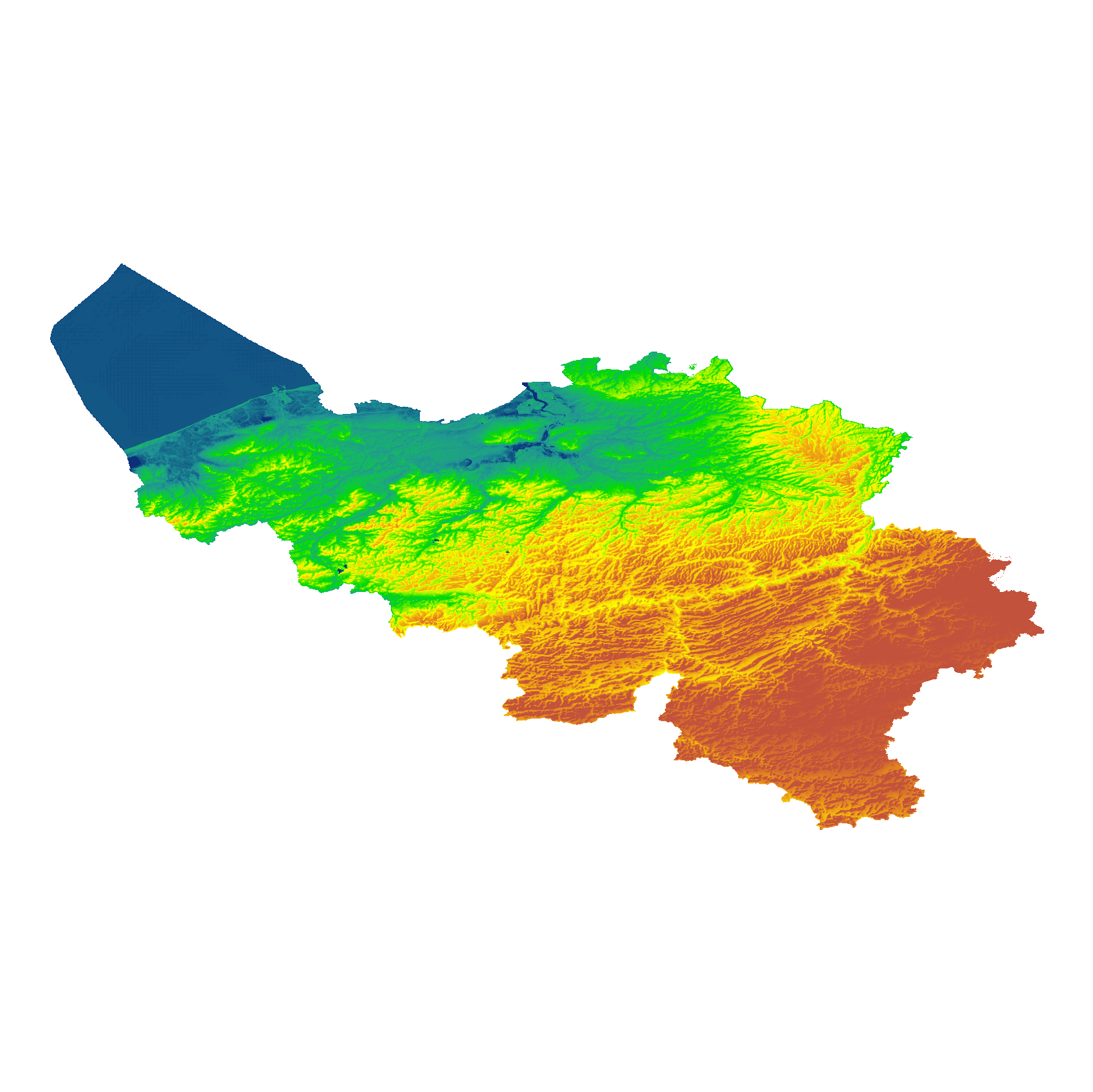
The eTOD digital terrain model (DTM) is a homogeneous and regular point grid that models the height of the ground level for Belgian territory and the height of the sea level in the maritime zone. The primary source is the NGI DTM 5m, which is itself compiled based on the most recent altimetry data of the three Belgian regions and is periodically updated per map sheet at a scale of 1:50,000 using recent stereoscopic aerial images. Where available, updates from the notification platform for aviation obstacles and terrain changes are also integrated. For this DTM, the resolution (1 arcsecond) and the coordinate reference system (WGS84 + EGM2008) are used as defined in the eTOD specifications.