 geo.be Metadata Catalog
annually
Type of resources
Available actions
Topics
INSPIRE themes
federalThemes
Keywords
Contact for the resource
Provided by
Years
Formats
Representation types
Update frequencies
status
Scale
Resolution
-

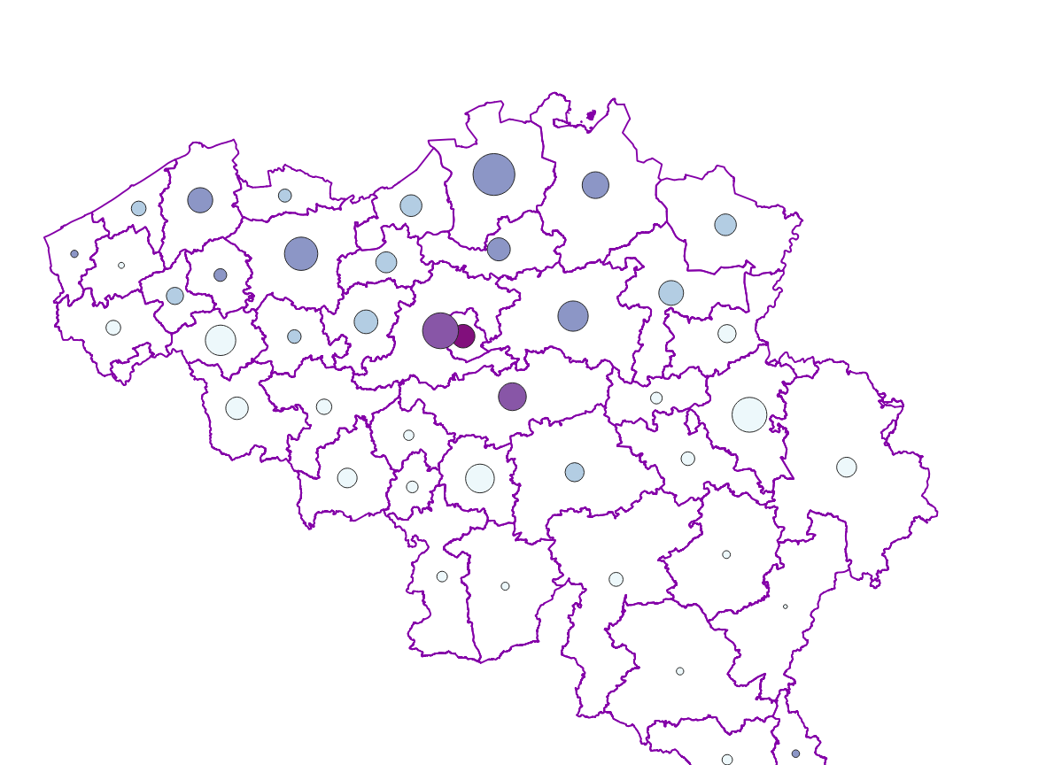
The localised unemployment rate calibrated on the labour force survey (LFS), by administrative unit (region, province, district and municipality) for Belgium.
-
The national wastewater-based epidemiological surveillance of psychoactive substances monitors the presence of various psychoactive substances in several wastewater treatment plants across Belgium. This dataset contains the results per treatment plant since the beginning of the surveillance in 2025. The results consist of the psychoactive substances concentrations over time as well as other data needed for the interpretations such as the flow rates of the treatment plants and the population covered.
-
The number of inhabitants according to official statistics by age group (<20 years, >=65 years, >=80 years) and by administrative entity (region, province, district and municipality) for Wallonia.
-
The ratio of the number of people aged over 80 to the number of people aged over 65 according to official statistics, per administrative entity (region, province, district and municipality) for Wallonia
-
Population density and area of administrative entities (region, province, district and municipality) for Wallonia.
-
Vector dataset of aeronautical obstacles with a height of 60 meters or more above the ground. The update of this dataset takes place on a multi-year cycle; for each obstacle and for each location, the situation is indicated as applicable at the time of its last update. Based on the horizontal range of an obstacle, it is classified into one of three classes: polygonal obstacle if the smallest rectangular area enclosing the obstacle has a length and width of more than 100 meters; line obstacle if the smallest rectangular area enclosing the obstacle has a length of more than 100 meters, but a width of less than 100 meters; point obstruction in other cases.
-
Real estate transactions - annual version corresponds to the dataset describing transactions of real rights on real estate property such as recorded by the FPS Finance for registration purposes. This dataset is composed of five classes. The first class shows, at the national level, for each cadastral nature and for each type of transaction, the number of real estate property concerned by a transaction as well as market values of these transactions. The second class includes this information at the level of the three regions. The following classes do the same at the level of provinces, arrondissements, municipalities. The dataset can be freely downloaded as a zipped CSV.
-
The number of inhabitants on January 1 according to the official definition of the population, by administrative entity (region, province, district and municipality) for Flanders and the Brussels Capital Region
-

Characteristics of the cadastral parcels - Exemption from withholding tax on immovable property corresponds to the dataset describing the parcels exempted from withholding tax on immovable property. The first class shows, at the national level, the number of parcels per exemption category, the total amount of cadastral income of these parcels, their surface area as well as the median cadastral income of each category. The second class includes this information at the level of the three regions. The following classes do the same at the level of provinces, arrondissements, municipalities, cadastral divisions and statistical sectors. The dataset can be freely downloaded as a zipped CSV.
-

Characteristics of the cadastral parcels - Rights of real estate companies corresponds to the dataset describing the legal persons holding real rights on the parcels such as recorded by the FPS Finance for registration purposes. This dataset is composed of seven classes. The first class shows, at the national level, for each cadastral nature and for each type of real right, the number of parcels, their total cadastral income, as well as for each category of economic activity, the number of parcels on which real estate companies hold the concerned real rights (i.e. the companies of L class from NACE classification). The second class includes this information at the level of the three regions. The following classes do the same at the level of provinces, arrondissements, municipalities, cadastral divisions and statistical sectors. The dataset can be freely downloaded as a zipped CSV.