 geo.be Metadata Catalog
National Geographic Institute
Type of resources
Available actions
Topics
INSPIRE themes
federalThemes
Keywords
Contact for the resource
Provided by
Years
Formats
Representation types
Update frequencies
status
Service types
Scale
Resolution
-
The national wastewater-based epidemiological surveillance of SARS-CoV-2 monitors the SARS-CoV-2 presence in several wastewater treatment plants across Belgium. This webservice contains the results per treatment plant since the beginning of the surveillance in September 2020. The results consist in the SARS-CoV2 concentrations over time as well as other data needed for the interpretations such as the flow rates of the treatment plants and their covering populations.
-

CORINE Local Components is an INSPIRE compliant WMS service showing 4 "Local component products" covering the Belgian territory within the framework of a Pan-European coverage. The 4 layers cover 4 different products: Urban Atlas 2012, Urban Atlas 2012 Street Tree Layer, Riparian Zones and Natura2000.
-

This web service allows viewing datasets from Buildings
-

Points Of Interest - Natural elements contains point elements relating to nature, namely remarkable trees and underground cavities in Belgium.
-

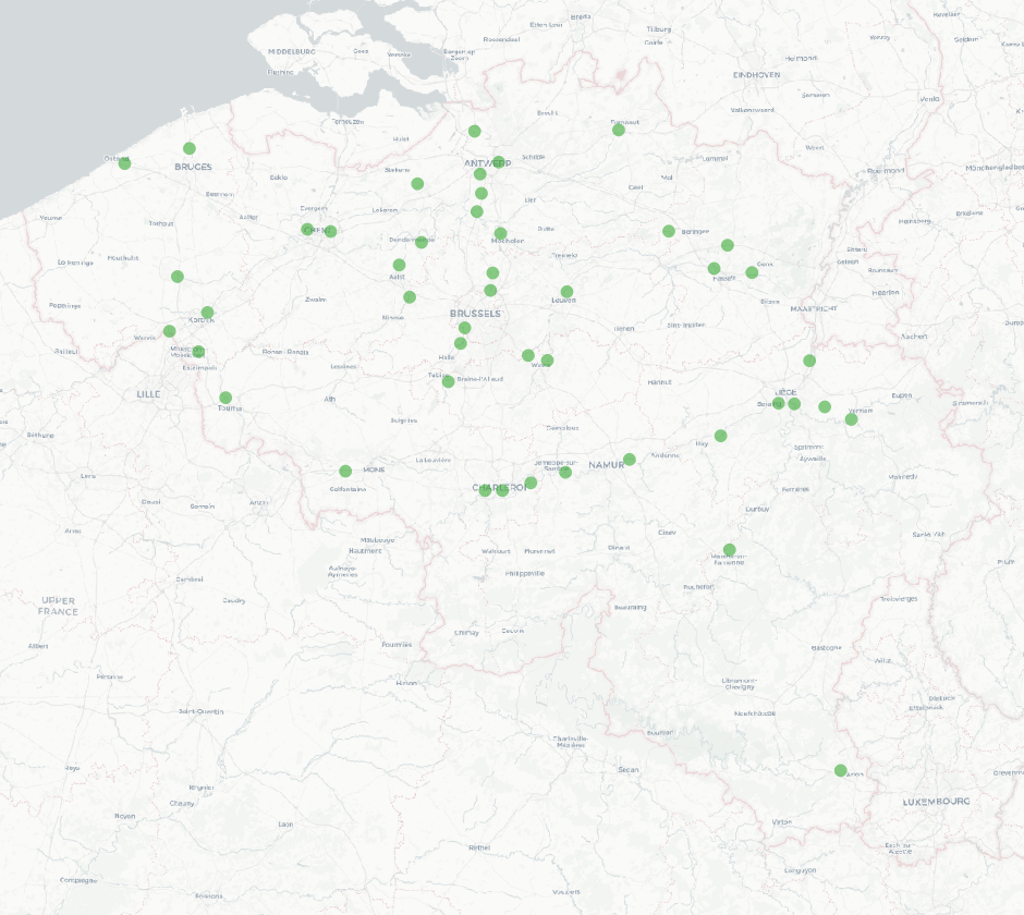
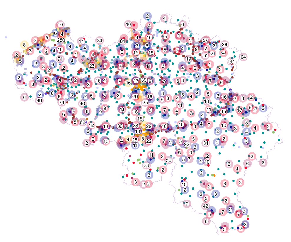
This dataset contains a set of Points Of Interest (POI) indicating the location of places of interest in Belgium, collected by NGI. The dataset consists of 97 POI types grouped into 6 classes (natural elements, cult elements, patrimonial elements, elements of general interest, infrastructures, economy). POI types that have a link with the NGI topographic reference data are systematically monitored to ensure consistency between these data. But for other POI types, there is no guarantee of completeness and correctness. These are updated ad hoc when an error or incompleteness is noticed.
-

This is the discovery service for the metadata which are made available by the Belgian federal government. It only contains the resources which have been declared for the INSPIRE reporting, i.e. the resources which contain the keyword “reporting INSPIRE”.
-

This web service allows viewing datasets from LandUse-Particular Zone
-

Landcover100Map is a digital version of the NGI’s topographic cartography on a scale of 1 :100 000. The images come from the symbolisation of the objects and the themes in the topo-geographic inventory of the Belgian territory (ITGI), which is built and kept up-to-date by the NGI. Landcover100Map is meant for a regional use on a larger scale than the one for Top50Map, typically on the scale of a province. The land use theme is very salient in this topographic cartography. The relief is represented by shadowing.
-
Points Of Interest - Infrastructures interest contains point elements indicating the location of a infrastructure, such as a container depot, incinerator, brunnel (bridges and tunnels), rail traffic, subway access, subway and tram stops, heli- and airport, control tower, light mast, lighthouse, water tower, flashing-lamp, breakwater, harbour area, marina, ship lift, dock, embankment, sluice, stilt structure and water point in Belgium.
-

Top10Vector – Local topography is the data set of the Belgian orography. This data set includes eight classes. First class: earth banks. Second class: additional geometry of the slope surface. Third class: dune zone. Fourth class: historic mounds. Fifht class: cave entrances. Sixth class: cone-shaped slag heap. Seventh class: steep. Eightth class: embanlments. This data set can be bought via the corresponding hyperlink.