 geo.be Metadata Catalog
2013
Type of resources
Available actions
Topics
INSPIRE themes
federalThemes
Keywords
Contact for the resource
Provided by
Years
Formats
Representation types
Service types
Resolution
-
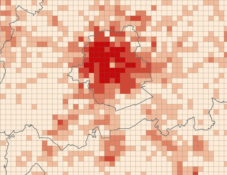
The files contain the population characteristics (total, gender and/or age groups) by 1 km² square grid cell in Belgium on January 1st, according to the European definition of the population. The European definition takes into account the 12-months criterion and includes asylum seekers. More information at https://ec.europa.eu/eurostat/cache/metadata/en/demo_pop_esms.htm#unit_measure1589188532500.
-
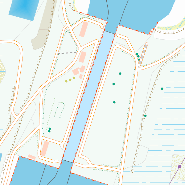
CartoWeb.be is a webservice (WMTS/WMS) offering cartographic representations at 11 scale levels (1:2,500 – 1:4,000,000) based on the NGI’s most recent vector reference data and developed for on screen display. Three layers are available for the territory of Belgium: (1) a TOPO layer available on all scales, (2) a TOPO-GREY layer, which is a greyscale version of the TOPO layer, and (3) an OVERLAY layer, available at the four largest scale levels (1:2,500 - 1:25,000), designed to be superimposed on other data. In addition, two other layers are available to represent Belgium in its European context at smaller scale levels (1:100,000 - 1:4,000,000): CROSSBORDER and CROSSBORDER-GREY.