 geo.be Metadata Catalog
2018
Type of resources
Available actions
Topics
INSPIRE themes
federalThemes
Keywords
Contact for the resource
Provided by
Years
Formats
Representation types
Update frequencies
status
Service types
Scale
Resolution
-

Govroam is a " wifi roaming " solution. This service offers to the users a simple and secure access to the wireless network of their institution, but also to networks of other participating institutions. A user from an organization that participates in govroam will be able to connect to any wireless access point broadcasting govroam. The data provided here makes it possible to locate these access points.
-

Geodetic markers of which the 3D coordinates are precisely known in common Belgian reference systems.
-

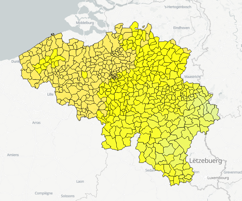
The data set contains a seamless polygonal layer representing the land cover in Belgium for the year 2012 and the year 2018. The polygons are spread over 32 classes from the CORINE Land Cover legend which are present un Belgium. The minimum map unit is 25 ha. The conceptual scale is 1:100 000. The data set also contains a polygon layer showing changes of more than 5 ha in the land cover between 2012 and 2018.
-
Hourly forecasts for each belgian commune, from current hour up to the next 5 days. This product is not publically available.
-

This dataset is part of the 2018 Belgian submission for the Marine Strategy Framework Directive (MSFD) linked to descriptor 5, criterion 1. This dataset contains the nutrient concentrations (ammonia, nitrate, nitrite, total nitrogen, phosphorus) measured on water samples taken in the BPNS between 2011 and 2016. The analysis of nutrients (N and P) is ensured by the national monitoring programme at ten sampling locations that are representative for the surrounding water masses. Based on all 2011-2016 results, the relationship with the salt content was calculated and, for each year, the value derived corresponding to a salt content of 33.5. The surface of the area where the nutrient concentrations exceed the respective thresholds was calculated on the basis of the relationship with the winter salt content and a climatology of the spatial distribution of the salt content (see annex D5 of the Belgian MSFD report). The resulting maps give a good overview of nutrient concentrations in the Belgian zone. In order to take into account the coastal-sea gradient and to illustrate the temporal trends in detail, the concentrations were also evaluated in three different areas of the BPNS: the coastal zone, the territorial zone and the open-sea zone. The long-term trends of nutrient concentrations in the three zones were assessed statistically.
-
The "Aeronautical Obstacle Evaluation Map for Belgium" allows to know whether advice is required for a construction or structure that, due to its height, may have an influence on aviation: if the planned construction or structure exceeds the height indicated on the map, the Civil Aviation Authority of the Federal Public Service Mobility and Transport should be requested for advice, according to the procedure on https://mobilit.belgium.be/nl/luchtvaart/veiligheid/hindernissen-en-bebakening. The height indicated on the map is determined by the federal ministers responsible for Civil Aviation and Defence. This height is determined in order to protect the civil and military aerodromes, the visual aviation routes, the military aviation areas and the civil and military aeronautical installations for communication, navigation and surveillance (CNS). Consequently, the use of this map allows the application of the following Regulation : Regulation (EC) N° 1108/2009 of the European Parliament and of the Council of 21 October 2009 amending Regulation (EC) No 216/2008 in the field of aerodromes, air traffic management and air navigation services and repealing Directive 2006/23/EC. In the Flemish Region the use of this chart allows the application of the article 35 §16 of “het besluit van de Vlaamse Regering van 27 november 2015 tot uitvoering van het decreet van 25 april 2014 betreffende de omgevingsvergunning”. The same data limited to the flemish Region are available on the Digitaal Vlaanderen website.
-
This dataset is part of the 2018 Belgian submission for the Marine Strategy Framework Directive (MSFD) linked to descriptor 8, criterion 1. This dataset is part of the 2018 Belgian submission for the Marine Strategy Framework Directive (MSFD) linked to descriptor 8, criterion 1. This dataset contains the concentrations of priority substances (tributyltin, polycyclic aromatic hydrocarbons (PAHs) and polybrominated diphenylethers (PBDEs)) measured in the water column at three stations in the Belgian part of the North Sea between 2009 and 2014 (as reported in the frame of the WFD in 2016). In total, 45 different parameters are measured.
-
This dataset is part of the 2018 Belgian submission for the Marine Strategy Framework Directive (MSFD) linked to descriptor 1, criterion 3. Occurrence of breeding seabirds describes the observation of eight seabird species (Common tern, Black-headed Gull, Herring Gull, Common Gull, Small Black-backed Gull, Yellow-legged gull, Big Stern and Little Stern) on the Belgian coast between 1992 and 2015.
-
This dataset is part of the 2018 Belgian submission for the Marine Strategy Framework Directive (MSFD) linked to descriptor 8, criterion 2. This dataset contains measurements on the 7-Ethoxyresorufin-O-deethylase (EROD) activity in Limanda limanda, Imposex (OTIN in Mytilus edulis), fish diseases and counts of oiled common guillemots in the Belgian part of the North Sea.
-
This dataset is part of the 2018 Belgian submission for the Marine Strategy Framework Directive (MSFD) linked to descriptor 8, criterion 4. This dataset contains measurements on the 7-Ethoxyresorufin-O-deethylase (EROD) activity in Limanda limanda, Imposex (OTIN in Mytilus edulis), fish diseases and counts of oiled common guillemots in the Belgian part of the North Sea.