 geo.be Metadata Catalog
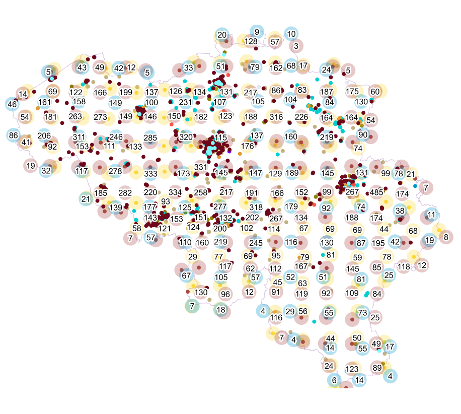
Buildings
Type of resources
Available actions
Topics
INSPIRE themes
federalThemes
Keywords
Contact for the resource
Provided by
Years
Formats
Representation types
Update frequencies
status
Service types
Scale
Resolution
-
Points Of Interest - Cult elements contains point elements relating to the cult, namely churchs (anglican, catholic, orthodox, protestant), mosques, synanogues, buddhist temples, chapels, abbeys, priories and other religious buildings or small monuments in Belgium.
-

This web service allows viewing datasets from Buildings
-

Points Of Interest - patrimonial elements contains point elements relating to the patrimony, namely (water and wind)mill, (historic, commemoration, fortified) building, historic mound, ice house, castle, kiosk, shoring, non-religious monument, monumental stairs in Belgium.
-

CadGIS Viewer is an application developed by the General Administration of Patrimonial Documentation of the FPS Finance. This application allows to: - consult the current situation of the land register plan and the administrative units and print them out; - consult all the tax situations since 2018 (situation as on 1 January) for the land register plan and administrative units; - search and geolocate the objects on the land register plan on the basis of space characteristics or queries; - ask for and print out cadastral plan parcels within a certain range around or adjacent to one or more parcels ; - search graphically on the map for surveyors' plans (only for surveyors); - add additional data to the map, both from a predefined list (IGN - Belgian national geographical institute’s aerial photographs, Cartoweb, regional reference frames such as GRB and PICC, ...) as well as other data via the URL of web services.
-

'Top10Vector – Particular Zones' is the vector dataset covering areas within Belgium that are designated for a specific purpose. This dataset contains just one feature type [ZO_particularzone]. The dataset can be downloaded via the links in 'Access' at the bottom of this page.
-
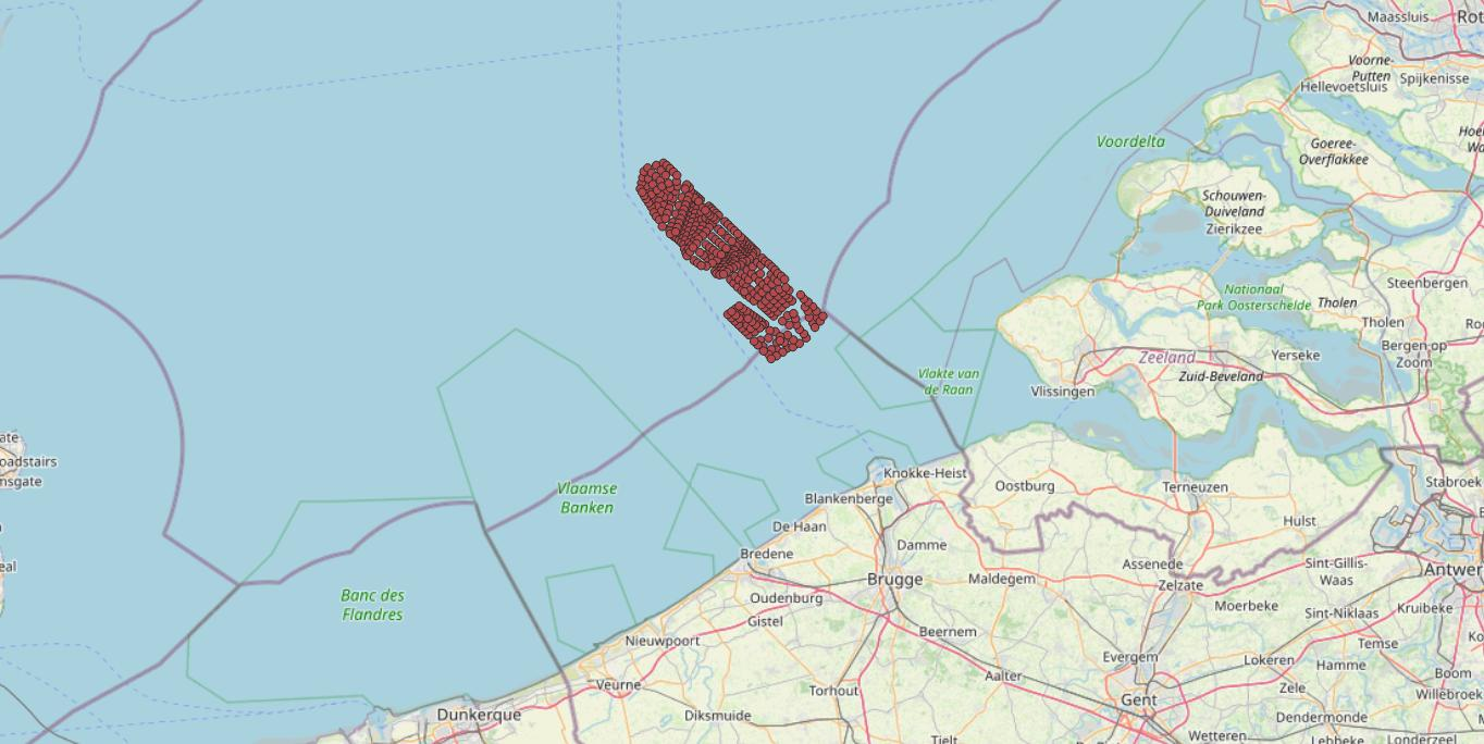
This dataset represents the exact location of the wind turbines in the Belgian Part of the North Sea.
-
Vector dataset of aeronautical obstacles with a height of 60 meters or more above the ground. The update of this dataset takes place on a multi-year cycle; for each obstacle and for each location, the situation is indicated as applicable at the time of its last update. Based on the horizontal range of an obstacle, it is classified into one of three classes: polygonal obstacle if the smallest rectangular area enclosing the obstacle has a length and width of more than 100 meters; line obstacle if the smallest rectangular area enclosing the obstacle has a length of more than 100 meters, but a width of less than 100 meters; point obstruction in other cases.
-
The Royal Decree of 22 May 2019 establishing a marine spatial plan defines 1 radar tower: Radar Oostdyck (Art. 21§3). Please refer to the Belgian official gazette (\"Moniteur belge/Belgisch Staatsblad\") for official reference information.
-
Top250Map is a digital version of the NGI’s topographic cartography on a scale of 1:250 000. It is the smallest scale used by the NGI to produce a cartographic representation of Belgium. It focuses mainly on inhabited places and transport networks. The whole territory is available in one single file. This map is characterized by the great number of toponyms of inhabited places.
-

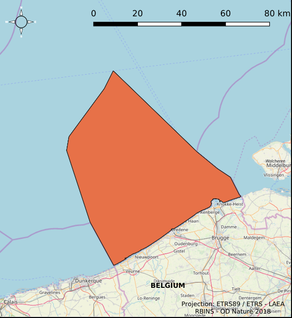
INSPIRE compliant download service for geographic information of general marine datasets made available by the Royal Belgian Institute for Natural Sciences (RBINS). More specific products such as the Marine Spatial Plan and the MSFD data are provided by other WMS services.