 geo.be Metadata Catalog
National Geographic Institute
Type of resources
Available actions
Topics
INSPIRE themes
federalThemes
Keywords
Contact for the resource
Provided by
Years
Formats
Representation types
Update frequencies
status
Service types
Scale
Resolution
-

Top10Vector – Local topography is the data set of the Belgian orography. This data set includes eight classes. First class: earth banks. Second class: additional geometry of the slope surface. Third class: dune zone. Fourth class: historic mounds. Fifht class: cave entrances. Sixth class: cone-shaped slag heap. Seventh class: steep. Eightth class: embanlments. This data set can be bought via the corresponding hyperlink.
-
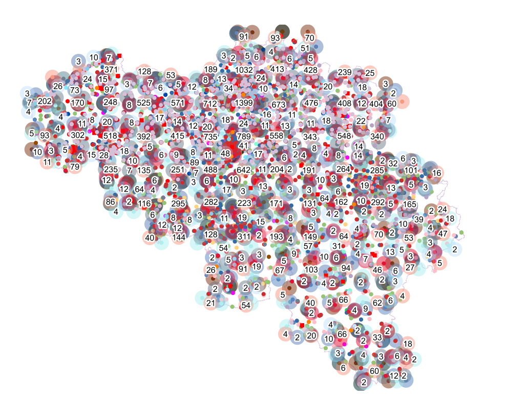
The national wastewater-based epidemiological surveillance of SARS-CoV-2 monitors the SARS-CoV-2 presence in several wastewater treatment plants across Belgium. This download service contains the results per treatment plant since the beginning of the surveillance in September 2020. The results consist in the SARS-CoV2 concentrations over time as well as other data needed for the interpretations such as the flow rates of the treatment plants and their covering populations.
-
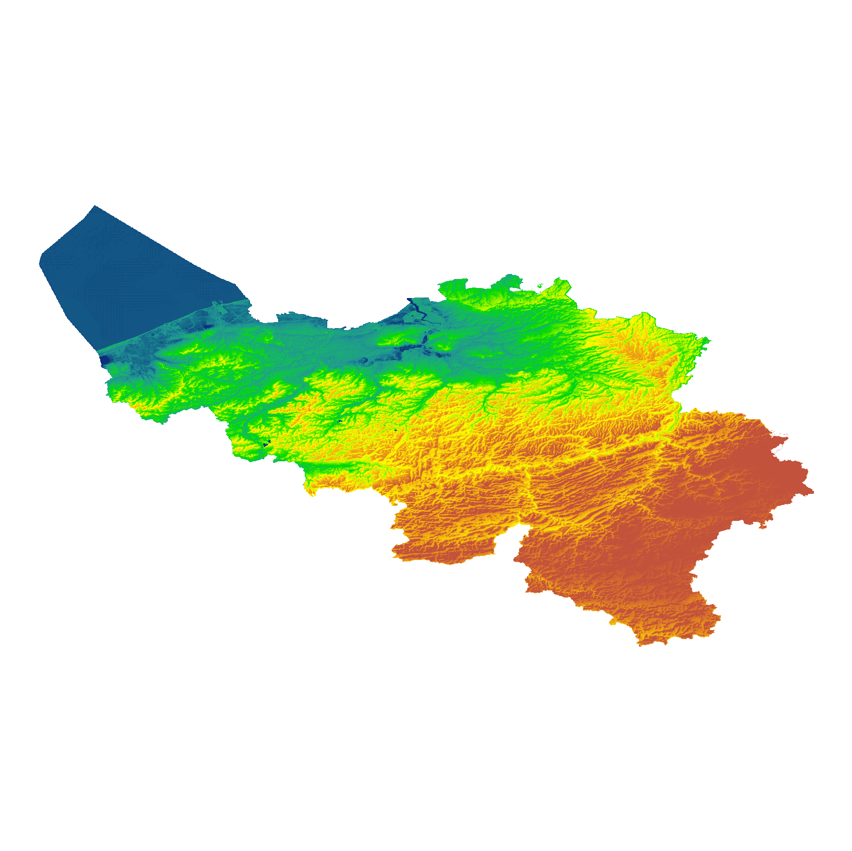
The eTOD digital terrain model (DTM) is a homogeneous and regular point grid indicating the elevation of the ground level in order to make a model of its surface. This DTM is obtained by resampling raw altimetric source data from the Flemish and Walloon Regions, grouped in Lambert 72 and with a resolution of 1 m; as well as data obtained internally by direct photogrammetric recording of structure points and lines based on the most recent aerial photographs for all areas not covered by regional data. For this DTM, the resolution and coordinate reference system are used as defined by the eTOD specifications.
-

The data set contains a seamless polygonal layer representing the land cover in Belgium for the year 2012 and the year 2018. The polygons are spread over 32 classes from the CORINE Land Cover legend which are present un Belgium. The minimum map unit is 25 ha. The conceptual scale is 1:100 000. The data set also contains a polygon layer showing changes of more than 5 ha in the land cover between 2012 and 2018.
-

This AtomFeed download service provides access to federal datasets that are reported under the INSPIRE Directive. The datasets can be accessible for free or under conditions.
-
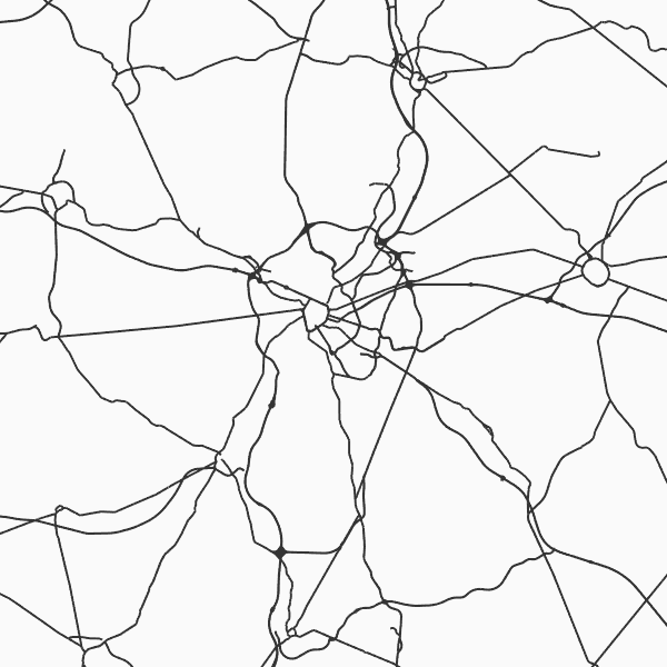
Top10Vector - Road network is the vector data set of the Belgian road network. It contains five classes. First class: dirt roads. Second class: kilometer markers along the road network. Third class: path segments. Fourth class: road obstructions. Fifth class: road segments. This data set aimt at representing the surface area of the road network on the Belgian territory and is not designed for route calculations. This data set can be bought via the corresponding hyperlink.
-
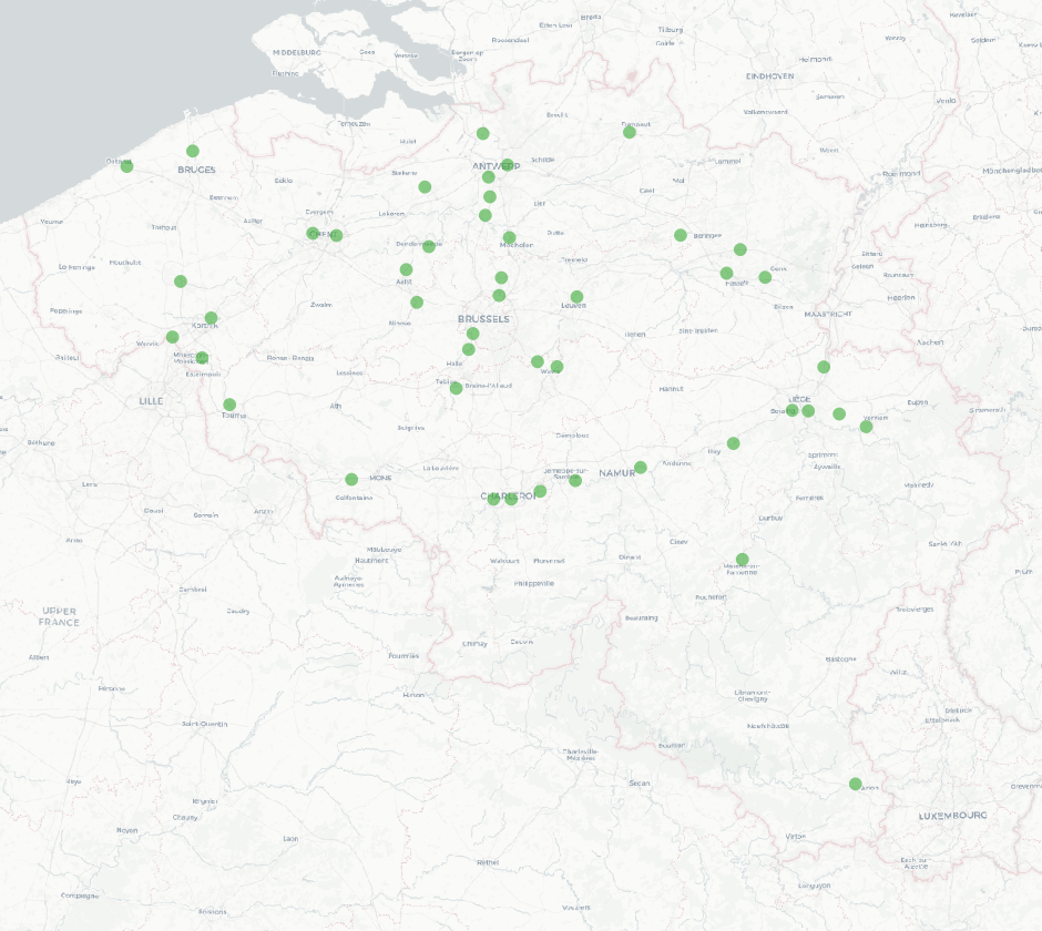
Points Of Interest - Elements of general interest contains point elements that are classified as being of general interest, namely embassies, (federal, regional, provincial, municipality) buildings, Govroam, court houses, prisons, police stations, post offices, education, sports buildings and infrastructure, cultural places and centres, libraries and archives, attraction-, recreation-, water- and wildlife parks, camp sites, museum, provincial domains, observatory, observation points, swimming pools, chemist's, crematorium, fire station, civil defence and healthcare in Belgium.
-

Landuse-Particular Zone is the INSPIRE 2D vector data set of the "Particular zones" layer originated from the Top10vector product of the National Geographic Institute in Belgium . It includes the "ExistingLandUseDataSet" features and the "ExistingLandUseObject" features in accordance with the INSPIRE specifications.
-

Top10Vector – Rail network is the data set of the railway network in Belgium. This data set includes three classes. First class: rail network kilometre markers. Second class: railway stop. Third class: railway track segments. This data set can be bought via the corresponding hyperlink.
-

Top10Vector – High tension network is the vector data set of the high tension network in Belgium. It includes two classes. First class: high tension line segments. Second class: power pylons. This data set can be bought via the corresponding hyperlink.