 geo.be Metadata Catalog
road network
Type of resources
Available actions
Topics
INSPIRE themes
federalThemes
Keywords
Contact for the resource
Provided by
Years
Formats
Representation types
Update frequencies
status
Service types
Scale
-
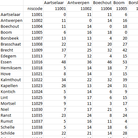
This dataset contains a matrix of distances between all Belgian municipality centres as defined in the AdminVector product. The distance is in km and is rounded to an integer.
-
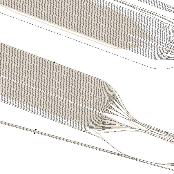
‘Top10Vector – Railway network’ is the dataset of the railway network in Belgium. This dataset includes 3 feature types, namely the railway track segments [RA_railwaytracksegment], railway stops [RA_railwaystop] and railway kilometer markers [RA_railwaykilometremarker]. The dataset can be downloaded via the links in 'Access' at the bottom of this page.
-
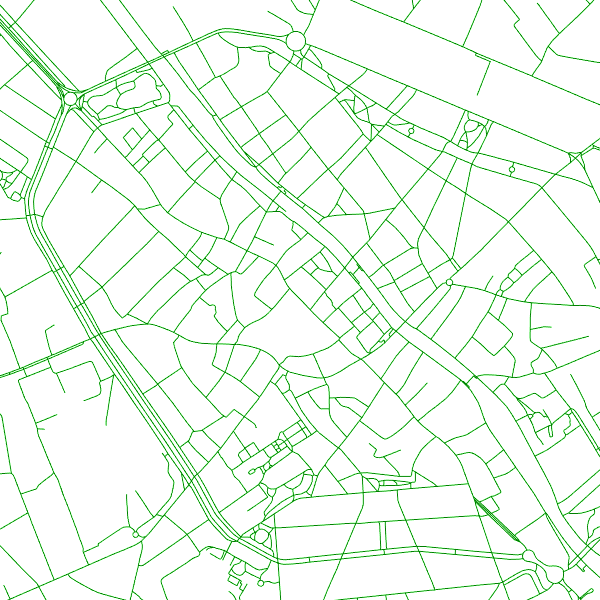
The entities included in the dataset represent the Belgian road transport network in the sense of the INSPIRE European directive. The dataset comprises several classes. The RoadLink class represents, in a linear manner, all of the road links between each pair of dots for the network considered. The footpaths, cycle paths or carriageways that connect the pairs of dots correspond to as many entities in the class. The RoadServiceArea class represents the sections of space devoted to auxiliary road transport functions, such as service stations or rest areas. In addition to this are two classes without geometry. RoadWidth class describes in metres the width of each segment of the "road links" class. The "functional importance" class ranks the segments of the "road links" class by functional importance on the road transport network.
-
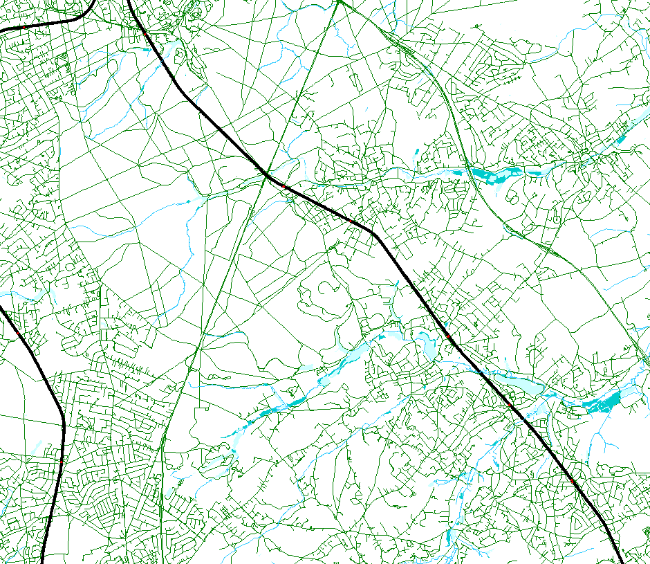
This web service allows viewing the NGI data which comply with the INSPIRE specifications. It gives an overview of the available Annex 1 INSPIRE data.
-
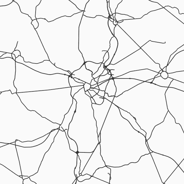
'Top10Vector - Road network' is the vector dataset of the Belgian road network. It contains five feature types including 3 types of segments: road segments [RO_roadsegment], path segments [RO_pathsegment] and dirt road segments [RO_dirtroadsegment]. In addition, there are two other feature types consisting of point elements, namely kilometre markers [RO_roadkilometremarker] and traffic obstacles [RO_obstruction]. The dataset can be downloaded via the links in 'Access' at the bottom of this page.
-
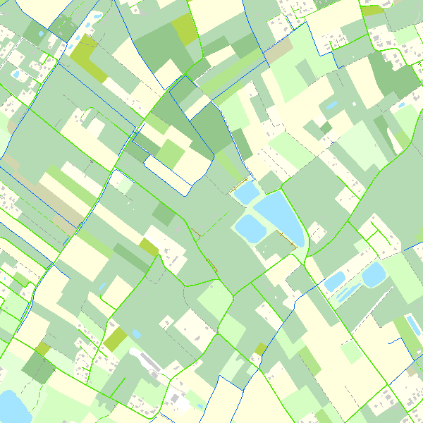
Top10Vector is a product containing topographical vector data covering the whole of Belgium. It consists of 35 feature types grouped into 8 different topics: ‘Constructions, ‘Particular zones, ‘Land cover and vegetation, ‘High-voltage network, ‘Hydrography’, ‘Local relief’, ‘Railway network’ and ‘Road network’. The product can be downloaded in its entirety via the links in 'Access' at the bottom of this page. Each of the topics is also available as a separate dataset on their own webpage.
-
This webservice allows the Top10Vector product, containing topographical vector data covering the whole of Belgium, to be visualised. The product consists of 35 feature types grouped into 8 different topics: ‘Constructions, ‘Particular zones, ‘Land cover and vegetation, ‘High-voltage network, ‘Hydrography’, ‘Local relief’, ‘Railway network’ and ‘Road network’. The link to the webservice is available under 'Access' at the bottom of this page.
-
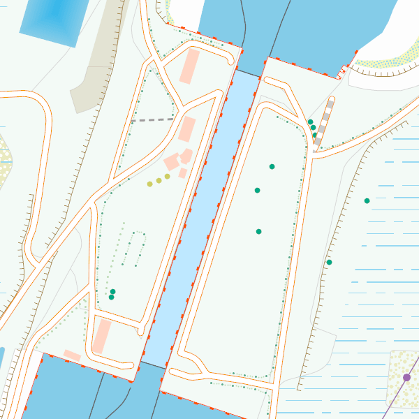
CartoWeb.be is a webservice (WMTS/WMS) offering cartographic representations at 11 scale levels (1:2,500 – 1:4,000,000) based on the NGI’s most recent vector reference data and developed for on screen display. Three layers are available for the territory of Belgium: (1) a TOPO layer available on all scales, (2) a TOPO-GREY layer, which is a greyscale version of the TOPO layer, and (3) an OVERLAY layer, available at the four largest scale levels (1:2,500 - 1:25,000), designed to be superimposed on other data. In addition, two other layers are available to represent Belgium in its European context at smaller scale levels (1:100,000 - 1:4,000,000): CROSSBORDER and CROSSBORDER-GREY.