geo.be Metadata Catalog
CartoWeb.be
Simple
Identification info
- Date (Revision)
- 2026-04-22
- Date (Creation)
- 2013-11-07
- Edition
- v2026.02
- Identifier
- BE.NGI-IGN / 0fdbe090-bd35-41b1-8835-823eb769eaee
- Purpose
-
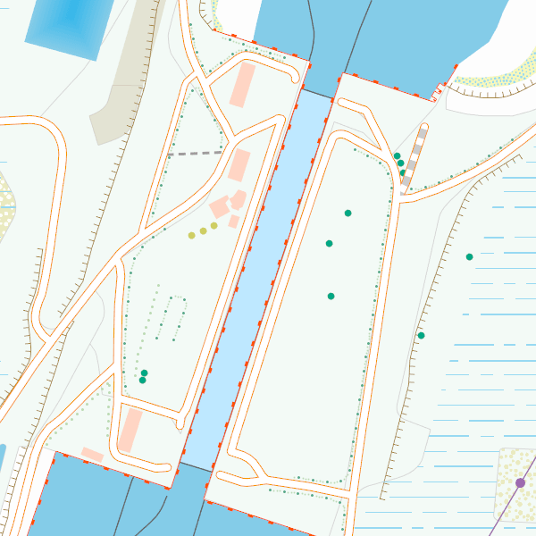
CartoWeb.be allows viewing map representations which have been developed on 11 different scale levels. These different scales make it possible to present different types of information. The highly generalised maps at the smallest scales make it possible to highlight just one theme, such as the administrative units or the major networks. The mid-scale representations show the typical topographic maps of the NGI. The characteristics for these maps are the representation of the relief by shadows or by contour lines, a limited generalisation and a representation of a maximum number of objects characterizing the reality on the field. As such, these maps allow to interpret the area, to determine one’s position and to orientate oneself. The largest, highly detailed scales, are more like plans. They have their own utility, but they don’t give a good global picture of the landscape.
CartoWeb.be’s first aim is to give the user a complete map representation, developed and specifically adapted for on-screen representation, of the most updated standard data of the NGI. The result is a real map representation and not only a basic symbolisation which facilitates the interpretation.
The CartoWeb.be view service can be incorporated into an internet application or into the user’s own software, on condition that those support the WMTS/WMS protocol.
- Anhang D4 der Verordnung 1205/2008 der Europäischen Kommission
-
- infoMapAccessService
- Belgian Federal Thesaurus
-
- Digital and paper maps
- Federal viewer
- Use limitation
- •The custodian of the resource holds the rights of property (including the rights of intellectual property) to the geographic files •The custodian grants the user the right to use the data for his internal use. •Commercial use of the data under any form is strictly forbidden •Custodian’s name must be mentioned each time the data are being used publically.
- Access constraints
- Other restrictions
- Other constraints
- No limitations on public access
- Use constraints
- Other restrictions
- Other constraints
- •The custodian of the resource holds the rights of property (including the rights of intellectual property) to the geographic files •The custodian grants the user the right to use the data for his internal use. •Commercial use of the data under any form is strictly forbidden •Custodian’s name must be mentioned each time the data are being used publically.
- Service Type
- view
- Description
- Belgium
))
- Coupling Type
- Tight
Contains Operations
- Operation Name
- GetCapabilities
- Distributed Computing Platforms
- Web services
- Connect Point
- https://cartoweb.wms.ngi.be/service?request=GetCapabilities&service=WMS&version=1.3.0 ( OGC:WMS )
Contains Operations
- Operation Name
- GetCapabilities
- Distributed Computing Platforms
- Web services
- Connect Point
- https://cartoweb.wmts.ngi.be/1.0.0/WMTSCapabilities.xml ( OGC:WMTS-1.0.0-http-get-capabilities )
- Reference system identifier
- EPSG:25831
- Reference system identifier
- EPSG:25832
- Reference system identifier
- EPSG:31370
- Reference system identifier
- EPSG:4258
- Reference system identifier
- EPSG:3857
- Reference system identifier
- EPSG:3035
- Reference system identifier
- EPSG:4326
- Reference system identifier
- EPSG:3812
- OnLine resource
-
View service
(
OGC:WMS
)
View service
- OnLine resource
-
https://ngi.be/wp-content/uploads/2024/12/CW_ProductSpecification_EN-1.pdf
(
WWW:LINK-1.0-http--link
)
Technical specifications of the product
- OnLine resource
-
View service
(
OGC:WMTS
)
View service
- Hierarchy level
- Service
- Other
- Webmap Service
Domain consistency
- Name of measure
- INSPIRE Conformity
Conformance result
- Date (Publication)
- 2009-08-19
- Explanation
- The service described meets the technical requirements as defined by the Commission Regulation (EC) No 976/2009 of 19 October 2009
- Pass
- No
- File identifier
- 0fdbe090-bd35-41b1-8835-823eb769eaee XML
- Metadata language
- English
- Character set
- UTF8
- Hierarchy level
- Service
- Hierarchy level name
- Webmap Service
- Date stamp
- 2026-04-23T16:23:04
- Metadata standard name
- ISO 19115:2003/19139
- Metadata standard version
- 1.0
Overviews
Spatial extent
Provided by