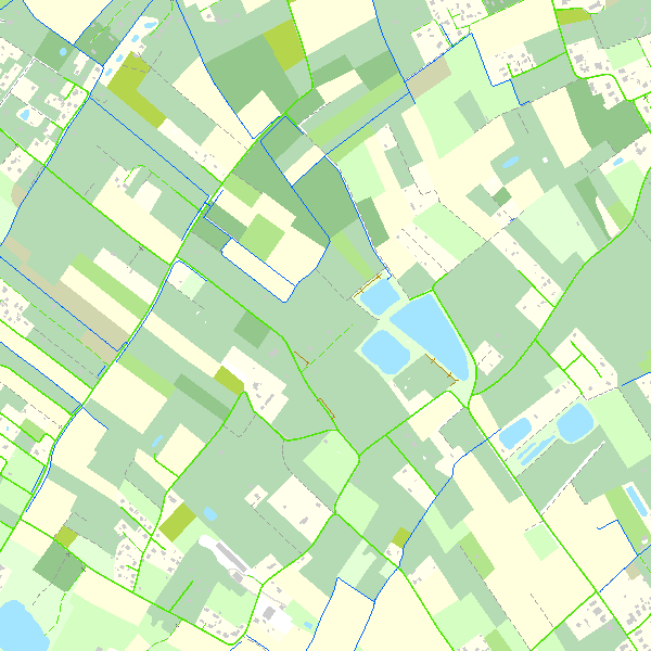
View service - Top10Vector
This webservice allows viewing the Belgian topographical vector data as established by the National Geographic Institute. It gives an overview of the datasets of the Top10Vector-series which can be downloaded.
Simple
Identification info
- Date (Revision)
- 2026-01-23
- Date (Publication)
- 2015-02-10
- Identifier
- BE.NGI-IGN / fa4df595-0413-4f33-a54f-fb048426576d
Originator
National Geographic Institute
Kortenberglaan 115
,
Brussels
,
1000
,
Belgium
http://www.ngi.be
- Annex D4 of the European Commission Regulation 1205/2008
- Keywords
-
- Federal viewer
- Use limitation
- https://creativecommons.org/licenses/by/4.0/
- Access constraints
- Other restrictions
- Other constraints
- No limitations on public access
- Use constraints
- Other restrictions
- Other constraints
- https://creativecommons.org/licenses/by/4.0/
- Service Type
- view
- Description
- Belgium
N
S
E
W
))
Coupled Resource
- Operation Name
- GetCapabilities
- Identifier
- 03417a9e-ef77-4da7-ba1d-116912c0c49a
Coupled Resource
- Operation Name
- GetCapabilities
- Identifier
- a9ab14e0-adbc-452e-9042-3614a123c97c
Coupled Resource
- Operation Name
- GetCapabilities
- Identifier
- c6c6d674-e3c5-47a9-8398-f4e1082d3e8e
Coupled Resource
- Operation Name
- GetCapabilities
- Identifier
- 098a4670-27e5-4c21-9a28-5e47ea1d1173
Coupled Resource
- Operation Name
- GetCapabilities
- Identifier
- 1f4296b0-76f6-4f1b-8880-315406b367e1
Coupled Resource
- Operation Name
- GetCapabilities
- Identifier
- f1e1b0d5-b8b3-4b6e-a2c7-e13e36c84315
Coupled Resource
- Operation Name
- GetCapabilities
- Identifier
- a71223fd-0bef-44b5-afe4-e3cb3e58b2dc
Coupled Resource
- Operation Name
- GetCapabilities
- Identifier
- b9b31789-ac81-4b3e-8d38-21b1fbe5aa69
Coupled Resource
- Operation Name
- GetCapabilities
- Identifier
- e0fdc885-8851-482e-80c9-6a0ba3709761
- Coupling Type
- Tight
Contains Operations
- Operation Name
- GetCapabilities
- Distributed Computing Platforms
- Web services
- Connect Point
- https://data.geo.be/ws/top10vector/wms?service=wms&request=getcapabilities&version=1.3.0 ( OGC:WMS )
- Reference system identifier
- EPSG:3035
- Reference system identifier
- EPSG:4258
- Reference system identifier
- EPSG:3857
- Reference system identifier
- EPSG:4326
- Reference system identifier
- EPSG:3812
- OnLine resource
-
View service
(
OGC:WMS
)
View service
- Hierarchy level
- Service
- Other
- Webmap service
Domain consistency
- Name of measure
- INSPIRE Conformity
Conformance result
- Date (Publication)
- 2009-08-19
- Explanation
- The service described meets the technical requirements as defined by the Commission Regulation (EC) No 976/2009 of 19 October 2009
- Pass
- Yes
- File identifier
- fa4df595-0413-4f33-a54f-fb048426576d XML
- Metadata language
- English
- Character set
- UTF8
- Hierarchy level
- Service
- Hierarchy level name
- Webmap service
- Date stamp
- 2026-02-03T11:48:13
- Metadata standard name
- ISO 19115:2003/19139
- Metadata standard version
- 1.0
Point of contact
National Geographic Institute
Kortenberglaan 115
,
Brussels
,
1000
,
Belgium
http://www.ngi.be
Overviews

Spatial extent
N
S
E
W
))
Provided by

Associated resources
Not available
 geo.be Metadata Catalog