 geo.be Metadata Catalog
National Geographic Institute
Type of resources
Available actions
Topics
INSPIRE themes
federalThemes
Keywords
Contact for the resource
Provided by
Years
Formats
Representation types
Update frequencies
status
Service types
Scale
Resolution
-

This webservice allows viewing a digital surface model. It is a homogeneous and regular points grid which indicates the height above the surface of the earth, either the soil or any other permanent and visible element in the landscape (vegetation, construction,…). These data represent the situation of the landscape resulting from the July 2021 floods in het areas of the Vesdre, of part of the Meuse downstream from Liège and of the Demer. The heights are given relative to the Belgian zero level (fictitious zero of Uccle). The data have a resolution (size of the meshes of the regular grid) of 20 cm.
-
The national wastewater-based epidemiological surveillance of SARS-CoV-2 monitors the SARS-CoV-2 presence in several wastewater treatment plants across Belgium. This webservice contains the results per treatment plant since the beginning of the surveillance in September 2020. The results consist in the SARS-CoV2 concentrations over time as well as other data needed for the interpretations such as the flow rates of the treatment plants and their covering populations.
-

Climate indicators for a present (1975) and future (2085) target year under a mean and high impact scenario (view and download service with raster files). The climate indicators for Belgium were obtained by a statistical downscaling based on the high-resolution Belgian climate model projections, as well as on a large set of both Global Climate Model runs (CMIP5) and Regional Climate Model runs for Europe (EURO-CORDEX).
-

CORINE Local Components is an INSPIRE compliant WMS service showing 4 "Local component products" covering the Belgian territory within the framework of a Pan-European coverage. The 4 layers cover 4 different products: Urban Atlas 2012, Urban Atlas 2012 Street Tree Layer, Riparian Zones and Natura2000.
-
This web service allows viewing the NGI data which comply with the INSPIRE specifications. It gives an overview of the INSPIRE data which are for sale.
-

This web service allows viewing CORINE High Resolution Layers Belgium covering the Belgian territory within the framework of a Pan-European coverage. This service is compliant with the INSPIRE specifications.
-

This web service allows viewing datasets from Buildings
-

Under the territorial divisions are grouped different datasets that represent fully recognised Belgian geographical units. The AdminVector dataset encompasses the statistical sectors defined by the FPS Economy, the administrative units maintained by the FPS Finance and their centres, as well as the boundary stones. The datasets of the judicial cantons and judicial districts are built on the basis of their definition in the Judicial Code. The dataset of electoral districts is built on the basis of its definition in the Electoral Code. The dataset of the postal districts contains the boundaries of the Belgian postcodes managed by bpost.
-

Top10Vector – Land cover and vegetation is the vector data set of the land use of unbuilt land areas in Belgium. This data set includes three classes. First class: dry and unbuilt areas or areas not used as roads. Second class: hedges. Third class: linear vegetation. This data set can be bought via the corresponding hyperlink.
-
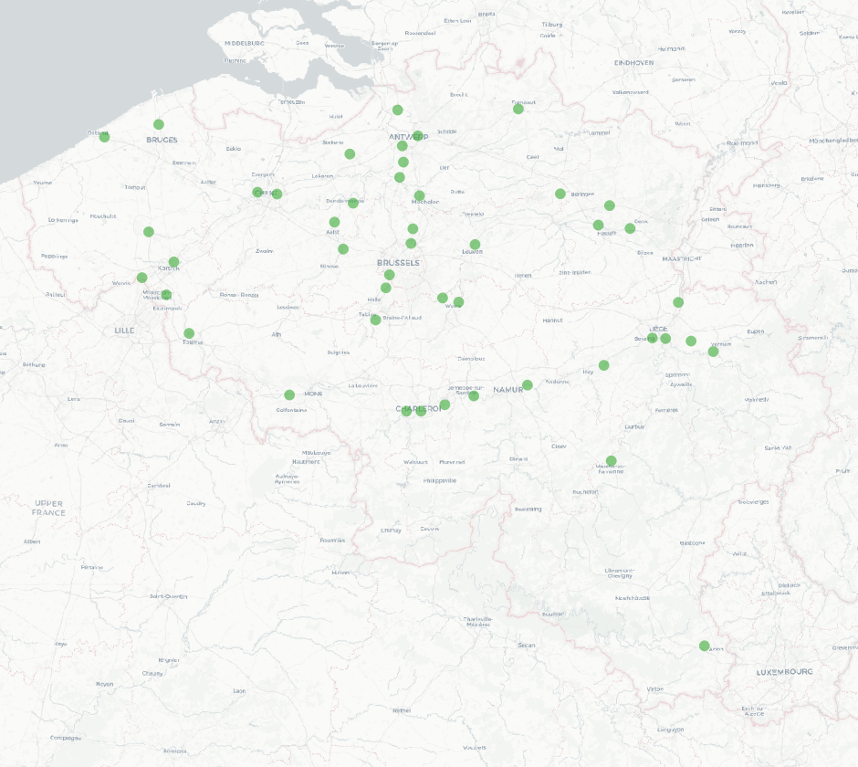
Whole of marks whose height with respect to the zero mark of the second general leveling is known.