view
Type of resources
Available actions
INSPIRE themes
federalThemes
Keywords
Contact for the resource
Provided by
Years
Formats
Update frequencies
status
Service types
-

INSPIRE compliant view service for geographic information of the Marine Spatial Plan made available by the Royal Belgian Institute for Natural Sciences (RBINS).
-

View Service (WMS) for Networks of automatic lidar-ceilometer systems The data are updated each 10 minutes. Only the archives of the last 30 days are available.
-

Climate indicators for a present (1975) and future (2085) target year under a mean and high impact scenario (view and download service with raster files). The climate indicators for Belgium were obtained by a statistical downscaling based on the high-resolution Belgian climate model projections, as well as on a large set of both Global Climate Model runs (CMIP5) and Regional Climate Model runs for Europe (EURO-CORDEX).
-

This web service allows viewing the dataset BeStAddress.
-
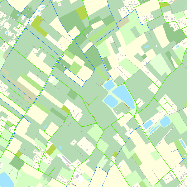
This webservice allows viewing the Belgian topographical vector data as established by the National Geographic Institute. It gives an overview of the datasets of the Top10Vector-series which can be downloaded.
-
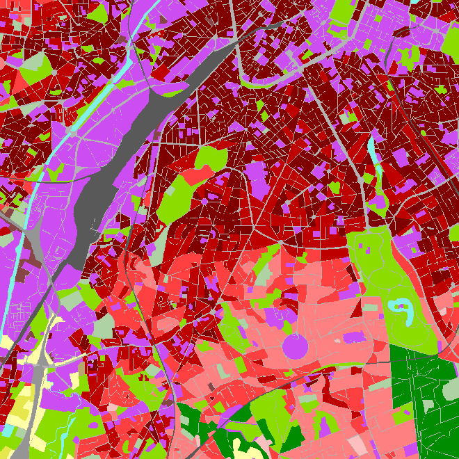
CORINE Local Components is an INSPIRE compliant WMS service showing 4 "Local component products" covering the Belgian territory within the framework of a Pan-European coverage. The 4 layers cover 4 different products: Urban Atlas 2012, Urban Atlas 2012 Street Tree Layer, Riparian Zones and Natura2000.
-

INSPIRE compliant view service for geographic information of general marine datasets made available by the Royal Belgian Institute for Natural Sciences (RBINS). More specific products such as the Marine Spatial Plan and the MSFD data are provided by other WMS services.
-
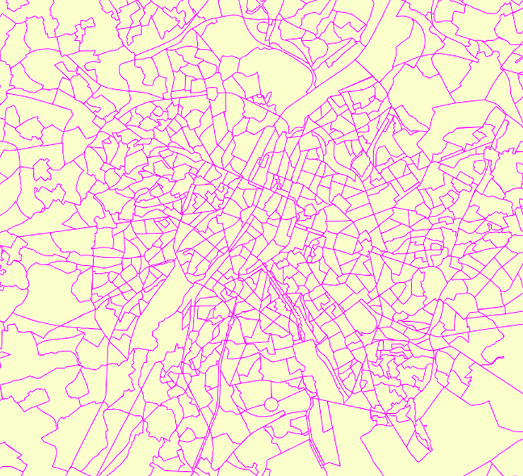
Deze web-service verzekert de visualisatie van de gegevens van de FOD Economie, conform aan de specificaties van INSPIRE. De datasets waarvan de structuur conform de specificaties van INSPIRE zijn, zijn opgenomen.
-
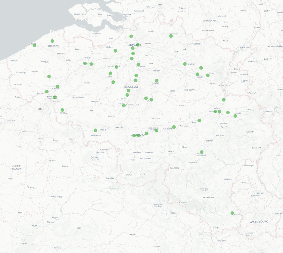
The national wastewater-based epidemiological surveillance monitors public health parameters in several wastewater treatment plants across Belgium. This webservice contains the results per treatment plant since the beginning of the surveillance in September 2020. The results consist of concentrations over time as well as other data needed for the interpretations such as the flow rates of the treatment plants and the population covered.
-
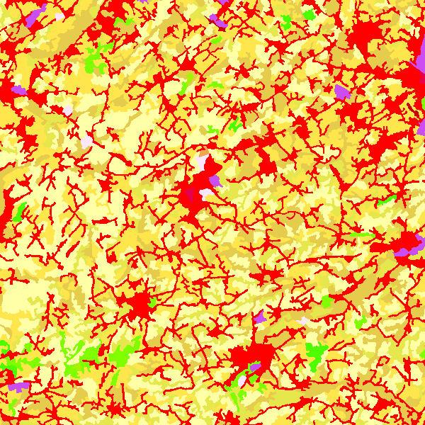
CORINE Land Cover Belgium WMS is an INSPIRE compliant WMS service which represents the land use in Belgium for the years 2006, 2012 and 2018. The polygons are classified in 32 classes from CORINE Land Cover’s classes which are present in Belgium. The minimum map unit is 25 ha. The conceptual scale is 1:100 000. The data set also contains a polygon layer which represent the land use modifications of more than 5 ha between 2006 and 2012 and between 2012 and 2018.
 geo.be Metadata Catalog