 geo.be Metadata Catalog
Altimetric geodetic network – Second general leveling
Simple
- Date (Revision)
- 2017-01-22
- Identifier
- BE.NGI-IGN / e9ee8aa4-cc1d-44d7-9678-0a5d0354e477
- Purpose
- The marks are free for use by the surveyors in order to link local surveys to the national height reference.
- Status
- On going
Point of contact
- Maintenance and update frequency
- Irregular
- Maintenance note
- Update still going on.
- Keywords
-
- Geodetic height reference
- Use constraints
- Other restrictions
- Other constraints
-
•The custodian of the resource holds the rights of property (including the rights of intellectual property) to the geographic files
•The custodian grants the user the right to use the data for his internal use.
•Commercial use of the data under any form is strictly forbidden
•Custodian’s name must be mentioned each time the data are being used publically.
- Access constraints
- Other restrictions
- Other constraints
- No limitations on public access
- Use limitation
-
•The custodian of the resource holds the rights of property (including the rights of intellectual property) to the geographic files
•The custodian grants the user the right to use the data for his internal use.
•Commercial use of the data under any form is strictly forbidden
•Custodian’s name must be mentioned each time the data are being used publically.
- Spatial representation type
- Vector
- Metadata language
- Nederlands; Vlaams
- Metadata language
- Français
- Character set
- 8859 Part 15
- Topic category
-
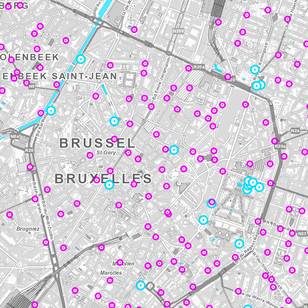
- Location
- Description
- Belgium
))
- Unique resource identifier
- EPSG:3812
- Unique resource identifier
- EPSG:31370
- Unique resource identifier
- EPSG:4258
- Distribution format
-
-
PDF
()
-
PDF
()
- OnLine resource
-
Application G-DOC
(
WWW:LINK-1.0-http--link
)
Application G-DOC
- Hierarchy level
- Dataset
Domain consistency
- Name of measure
- INSPIRE Conformity
Conformance result
- Date (Publication)
- 2010-12-08
- Explanation
- The dataset’s compliance with the technical requirements as defined by the Commission Regulation (EU) No 1089/2010 of 23 November 2010 has not been checked
- Statement
- The marks were installed and measured for the first time in the period 1947-1968. A complete revision was executed between 1981 and 2000. A partial revision was executed between 2005 and 2016.
Content Information
- File identifier
- e9ee8aa4-cc1d-44d7-9678-0a5d0354e477 XML
- Metadata language
- English
- Character set
- UTF8
- Hierarchy level
- Dataset
- Date stamp
- 2026-01-27T13:09:36
- Metadata standard name
- ISO 19115:2003/19139
- Metadata standard version
- 1.0
Overviews
Spatial extent
Provided by
