 geo.be Metadata Catalog
National Geographic Institute
Type of resources
Available actions
Topics
INSPIRE themes
federalThemes
Keywords
Contact for the resource
Provided by
Years
Formats
Representation types
Update frequencies
status
Service types
Scale
Resolution
-

This web service allows downloading datasets from CORINE Land Cover-2018-Belgium, compliant with the INSPIRE data specifications
-

Geodetic markers of which the 3D coordinates are precisely known in common Belgian reference systems.
-

Points Of Interest - patrimonial elements contains point elements relating to the patrimony, namely (water and wind)mill, (historic, commemoration, fortified) building, historic mound, ice house, castle, kiosk, shoring, non-religious monument, monumental stairs in Belgium.
-

The entities included in the dataset represent the Belgian rail transport network in the sense of the Inspire European directive. The dataset comprises several classes and is in accordance with the INSPIRE specifications. The RailLink class represents, in a linear manner, all of the rail links between each pair of dots for the network considered. The RailwayStationNode class represents occasionally all of the stations located along the network. In addition to this are two classes without geometry. The RailwatType class ranks the segments according to the type of rail transport for which they were designed. All the segments for this dataset belong to the train category. The "RailwaytElectrification" class lists the segments according to whether they are electrified or not.
-
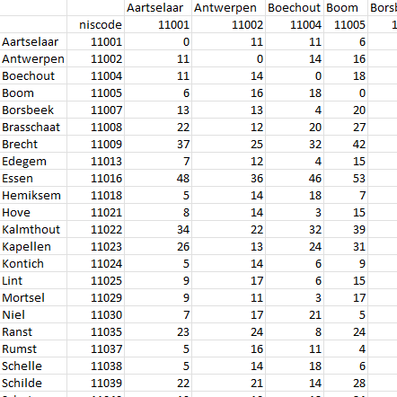
This dataset contains a matrix of distances between all Belgian municipality centres as defined in the AdminVector product. The distance is in km and is rounded to an integer.
-

This webservice allows viewing a digital surface model. It is a homogeneous and regular points grid which indicates the height above the surface of the earth, either the soil or any other permanent and visible element in the landscape (vegetation, construction,…). These data represent the situation of the landscape resulting from the July 2021 floods in het areas of the Vesdre, of part of the Meuse downstream from Liège and of the Demer. The heights are given relative to the Belgian zero level (fictitious zero of Uccle). The data have a resolution (size of the meshes of the regular grid) of 20 cm.
-
Points Of Interest - Cult elements contains point elements relating to the cult, namely churchs (anglican, catholic, orthodox, protestant), mosques, synanogues, buddhist temples, chapels, abbeys, priories and other religious buildings or small monuments in Belgium.
-
The web application G-DOC provides information on all Belgian geodetic reference points. These points can be used as starting points or checkpoints to determine coordinates according to the national reference systems. three groups of geodetic reference points are available: 3D points, altimetric points and planimetric points.
-

INSPIRE compliant discovery service for geographic information made available by the Belgian Federal Government.
-

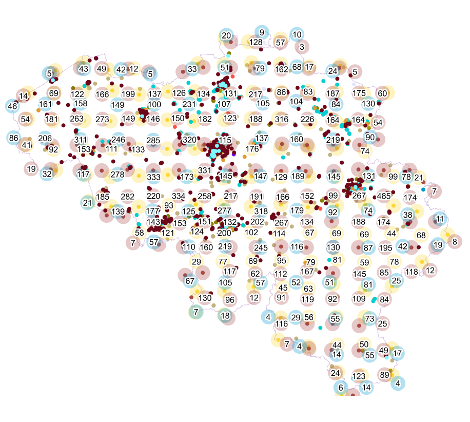
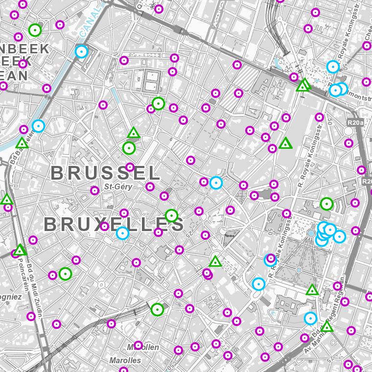
This web service allows visualization of the Points Of Interest (POI) indicating the location of places of interest in Belgium, collected by NGI. The dataset consists of 97 POI types grouped into 6 classes (natural elements, religious elements, patrimonial elements, elements of general interest, infrastructures, economy).