2020
Type of resources
Available actions
Topics
INSPIRE themes
federalThemes
Keywords
Contact for the resource
Provided by
Years
Formats
Representation types
Update frequencies
status
Service types
Scale
Resolution
-
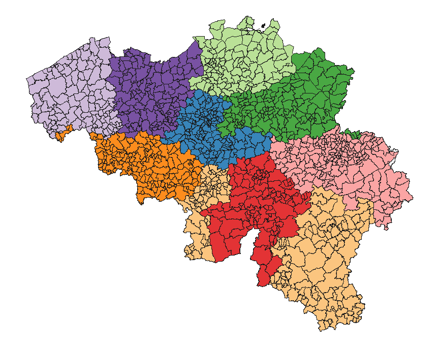
This web service allows viewingdatasets from bpost.
-
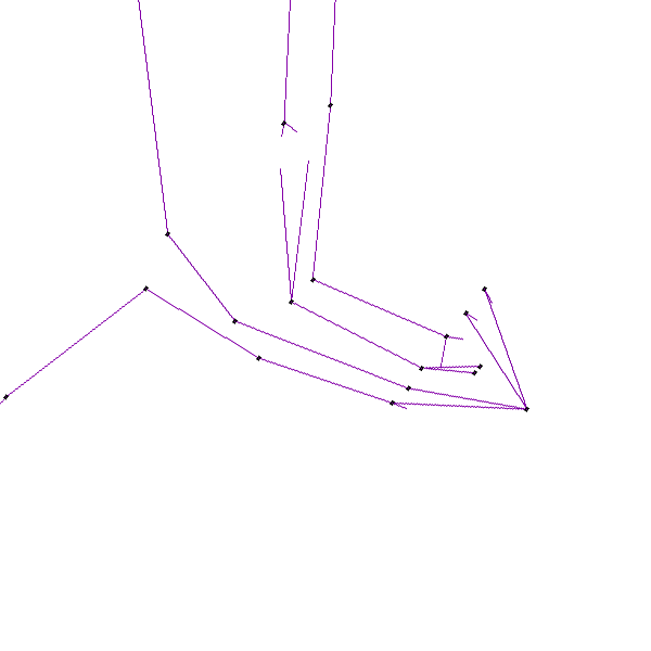
This web service allows viewing/downloading datasets from Electricity network
-
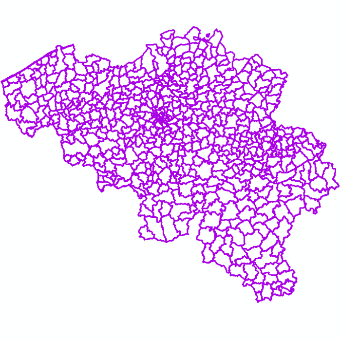
Administrative units - current situation corresponds to the dataset of administrative units from the reference database for the land register data. Administrative limits are legally defined by an administrative entity or between two administrative entities. In Belgium, administrative limits as legally defined are fixed and can only be changed by a law, ordinance or decree. The General Administration of Patrimonial Documentation of the FPS Finance is named by the federal authorities as the authentic source of Belgian administrative limits. This dataset corresponds to the current situation at the time of consultation. It is composed of five geometric classes. The first class corresponds to the whole national territory. The second corresponds to the territory of the three regions, the third to the territory of the provinces, the fourth to the territory of the administrative districts, the fifth to the territory of the municipalities. The dataset is freely downloadable via the ad hoc WFS service.
-
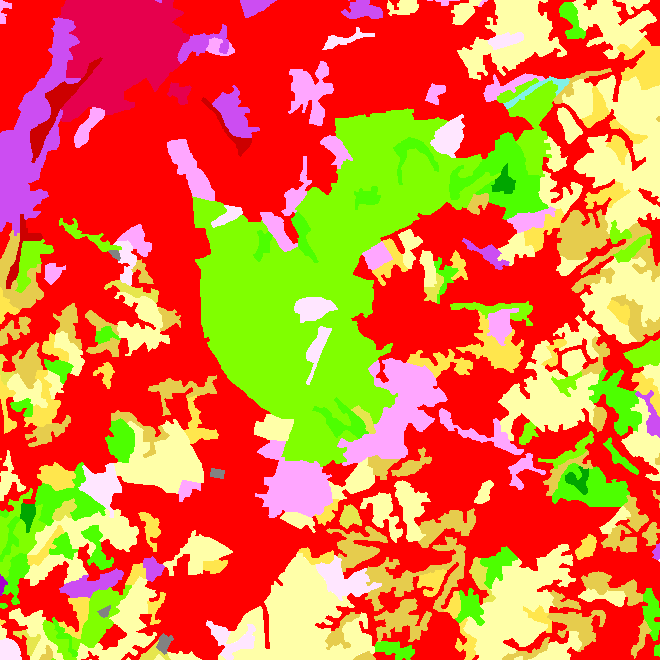
The data set contains a seamless polygonal layer representing the land cover in Belgium for the year 2018. The dataset is INSPIRE compliant.
-

This web service allows viewing datasets from LandUse-Particular Zone
-

Electricity network is the INSPIRE vector data set originated from the High-Tension network of the product TOP10Vector of the National Geographic Institute in Belgium. The Electricity network is regularly updated with the ELIA Group data sources. It includes the "ElectricityCable" features and the "Pole" features in accordance with the INSPIRE specifications.
-

This web service allows downloading datasets from CORINE Land Cover-2018-Belgium, compliant with the INSPIRE data specifications
-

This AtomFeed download service provides access to federal datasets that are reported under the INSPIRE Directive. The datasets can be accessible for free or under conditions.
-

This dataset contains the latest version of the borders of the Belgian postal codes, including the "special" postal codes (0612, 1049, 6099,…).
-

This web service allows viewing datasets from CORINE Land Cover-2018-Belgium.
 geo.be Metadata Catalog