2019
Type of resources
Available actions
Topics
INSPIRE themes
federalThemes
Keywords
Contact for the resource
Provided by
Years
Formats
Representation types
Update frequencies
status
Service types
Scale
Resolution
-

DSM 1m is a homogeneous and regular point grid indicating the height of the Earth’s surface level in order to model its landscape. DSM 1m is achieved by interpolating in Lambert 2008 source data in Lambert 72 and at a 1m-resolution from the Flemish and Brussels Regions, and by adding Lambert 2008 data at 1m-resolution from the Walloon Region.
-
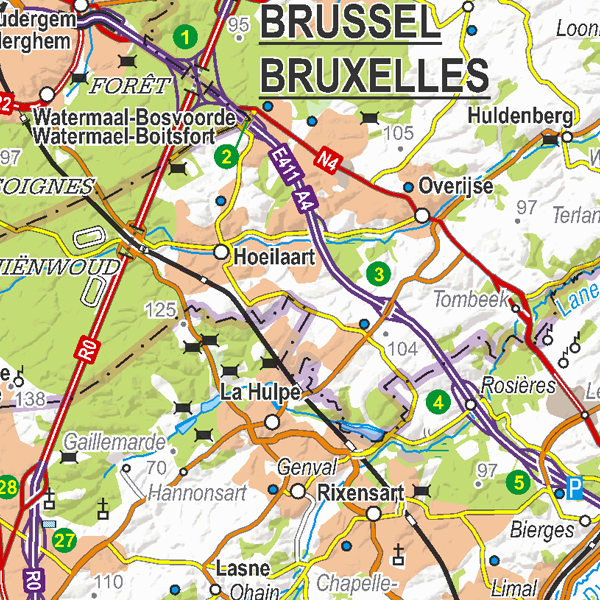
Top250Map is a digital version of the NGI’s topographic cartography on a scale of 1:250 000. It is the smallest scale used by the NGI to produce a cartographic representation of Belgium. It focuses mainly on inhabited places and transport networks. The whole territory is available in one single file. This map is characterized by the great number of toponyms of inhabited places.
-
This web service allows viewing ROB datasets. This service is compliant with the INSPIRE specifications.
-

This web service allows dowload ROB datasets. This service is compliant with the INSPIRE specifications.
-
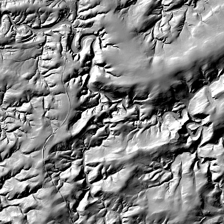
The hillshades are presented as a regular homogeneous grid of points indicating the grey level value resulting from their orientation with respect to the chosen fictitious light source. The 1m hillshade is the view obtained by hillshading of the 1m DTM. The 5m and 20m hillshades are the views obtained by hillshading of the 5m and 20m DTM.
-
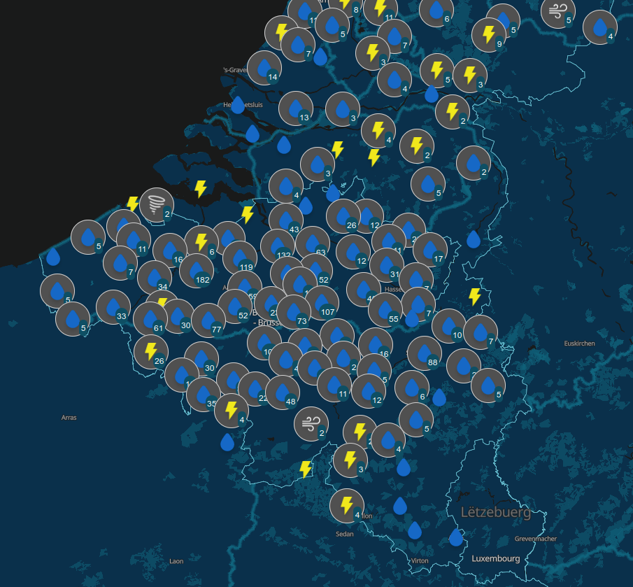
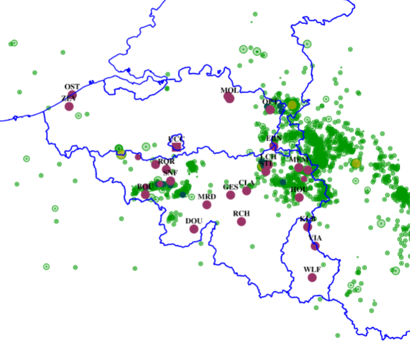
Since August 2019, users of the RMI smartphone app are able to send an observation of the meteorological conditions at a certain place and a certain time. The observations provide information about the weather conditions and potentially severe weather to the other users and to RMI. The collection of citizen weather reports is a valuable complement to the information obtained with the classical instruments like stations, radar and satellite. The data can be exploited for nowcasting, warnings and model verification, and eventually in assimilation. A general introduction of the data and their characteristics can be found in Reyniers et al. (2023). A basic quality control is implemented on the received observations via a plausibility check. This plausibility check determines whether an observation is plausible, suspicious or false, by comparing it to the INCA-BE nowcasting system using a simple thresholding scheme. INCA-BE is RMI's operational nowcasting system described in Reyniers et al. (2021). There is no strict spatial extent since there is no restriction at the input side: users can send observations from all over the globe. The bulk of the observations are received from within Belgium. Note that the plausibility check is not available for reports from outside Belgium.
-
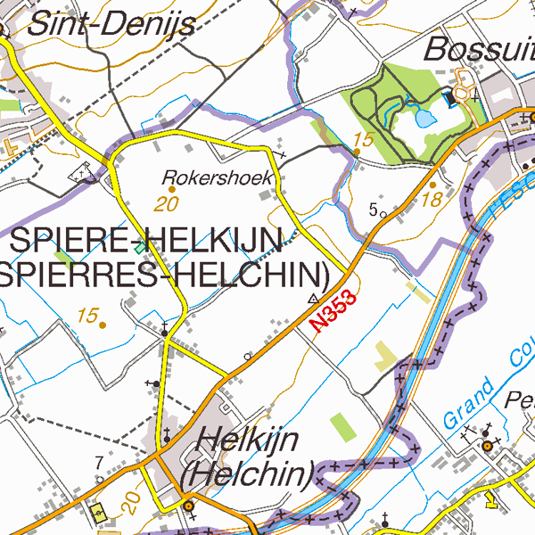
TopoMaps is a WMS allowing visualizing all images corresponding to the standard topographic cartographies made by the National Geographic Institute. As a result, it allows viewing cartographies on a 1:25 000 scale (Top25Map), on a 1:50 000 scale (Top50Map), on a 1:100 000 scale (Landcover100Map) and on a 1:250 000 scale (Top250Map), as well as the administrative map (AdminMap). With the exception of the administrative map, the cartographies show all themes of the topo-geographic inventory of the Belgian territory (ITGI) which is made and kept up-to-date by the National Geographic Institute: land use, transport, hydrography, buildings and constructions, relief, map lettering and toponyms.
-
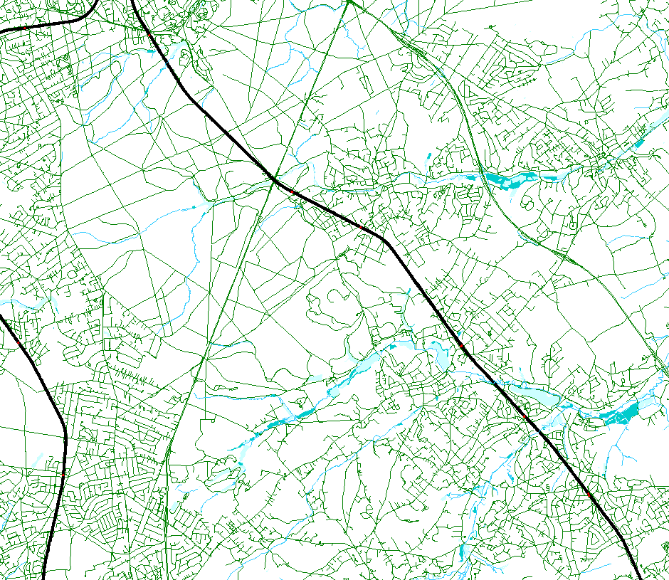
This web service allows viewing the NGI data which comply with the INSPIRE specifications. It gives an overview of the INSPIRE data which are for sale.
-

This dataset corresponds to the dataset of address points on the Belgian territory. The result is obtained by merging the three regions on the basis of XML files which has been supplied to BOSA for the cooperation agreement BeStAddress. The dataset is freely downloadable.
 geo.be Metadata Catalog