view
Type of resources
Available actions
INSPIRE themes
federalThemes
Keywords
Contact for the resource
Provided by
Years
Formats
Update frequencies
status
Service types
-
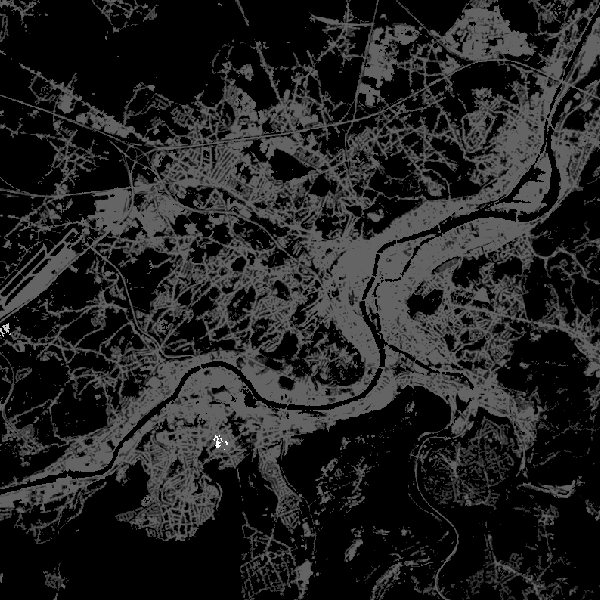
This web service allows viewing CORINE High Resolution Layers Belgium covering the Belgian territory within the framework of a Pan-European coverage. This service is compliant with the INSPIRE specifications.
-

INSPIRE compliant view service for geographic information of the Marine Spatial Plan made available by the Royal Belgian Institute for Natural Sciences (RBINS).
-
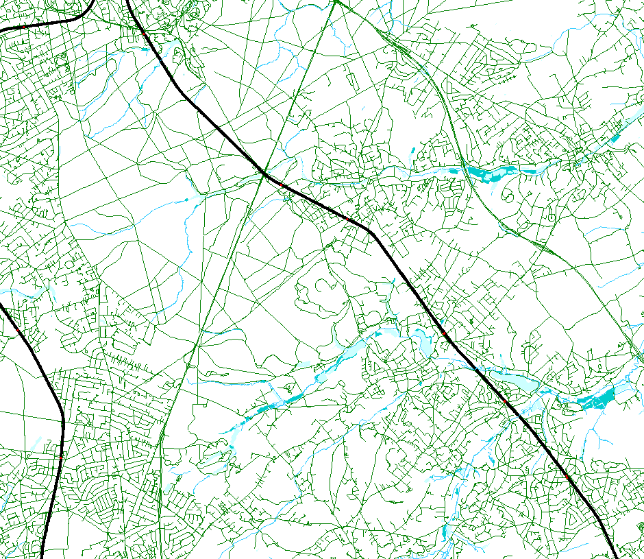
This web service allows viewing the NGI data which comply with the INSPIRE specifications. It gives an overview of the INSPIRE data which are for sale.
-

This web service allows viewing datasets from Buildings
-
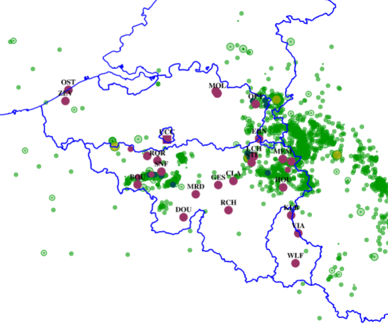
This web service allows viewing ROB datasets. This service is compliant with the INSPIRE specifications.
-

This web service provides a display of the dataset Cadastral parcels - INSPIRE. This webservice complies with the INSPIRE specifications and is available in several formats. It is recommended to use the PNG format.
-
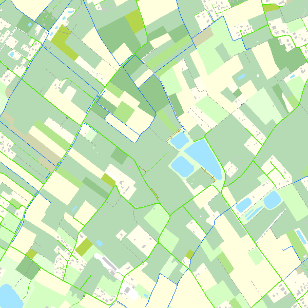
This webservice allows viewing the Belgian topographical vector data as established by the National Geographic Institute. It gives an overview of the datasets of the Top10Vector-series which can be downloaded.
-
-
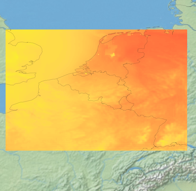
View Service (WMS) for Alaro over Belgium. All the parameters of the last run of Alaro can be visualized, most of them associated with a custom style.
-
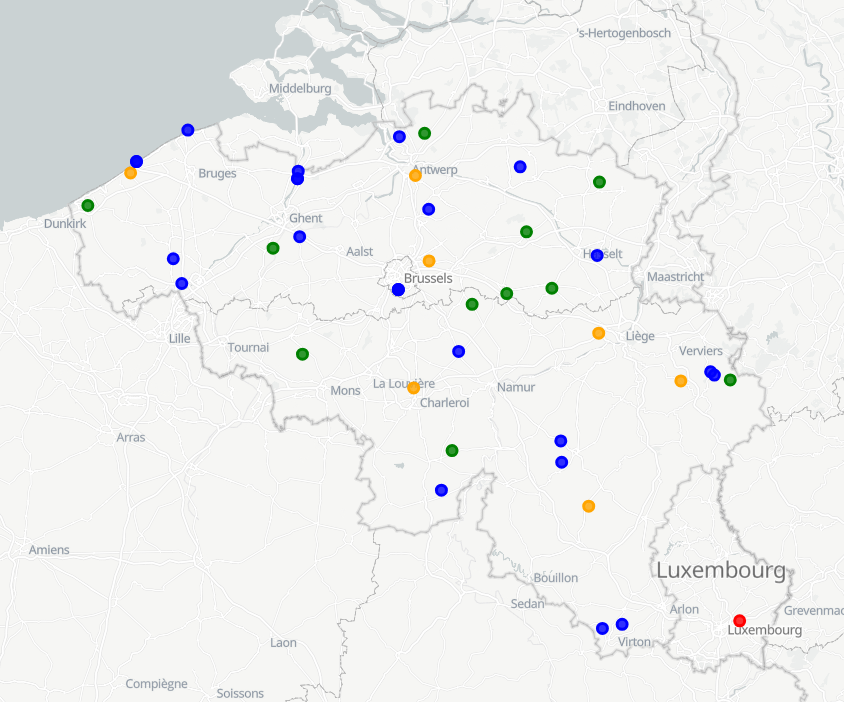
View Service (WMS) for Synoptic observations
 geo.be Metadata Catalog