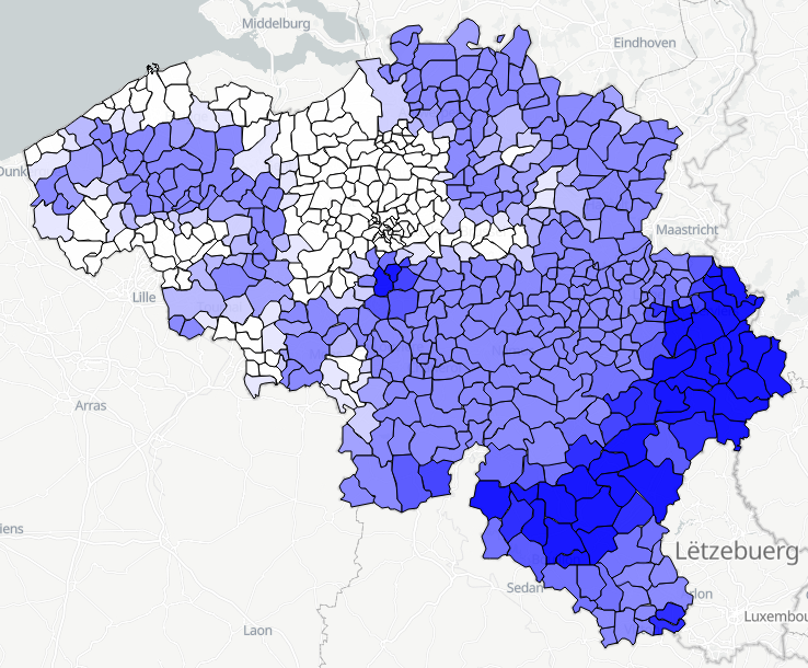
 geo.be Metadata Catalog
continual
Type of resources
Available actions
Topics
INSPIRE themes
federalThemes
Keywords
Contact for the resource
Provided by
Years
Formats
Representation types
Update frequencies
status
Service types
Scale
Resolution
-

This web service provides a display of the Administrative Units - INSPIRE datase This webservice complies with the INSPIRE specifications.
-
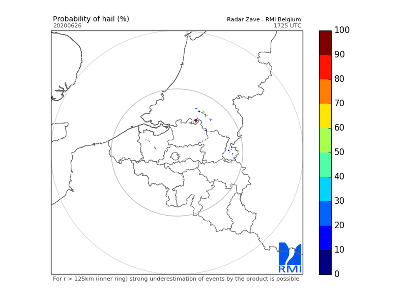
Hail products are derived from the observed vertical profiles of radar reflectivity and the NWP vertical profiles of temperature. Three types of products are generated. poh : probability of hail of any size (larger than 0.5 cm diameter)expressed in %. posh : probability of severe hail(larger than 2cm)expressed in %. mesh : maximum expected size of hailexpressed in mm of hailstone diameter. All products are generated every 5 minutes. This product is not publically available yet.
-
The earthquake catalogue and database of the Royal Observatory of Belgium contains source parameters of earthquakes that occurred in and around Belgium since 1350. Similar to most other seismic catalogues in the world, the ROB catalogue is heterogeneous, as it is based on the analysis of two different types of data: - Historical data: concern the period from about 1350 to 1910, for which only local reports about damage and felt effects (i.e. intensity) of earthquakes are available (“macroseismic” observations); - Instrumental data: concern the period from 1911 onward, the year continuous seismic recordings in Belgium started, up to the present day. For earthquakes during this period both intensity data (from macroseismic enquiries with the local authorities and, since 2000, on the internet) and seismic recordings are available. The earthquake catalogue is a list of earthquakes with the following parameters: origin time (year, month, day, hour, minute, second), geographic coordinates of the hypocenter (latitude, longitude, focal depth), magnitude (local magnitude ML, surface-wave magnitude Ms and/or moment magnitude Mw), maximum observed intensity, and the name of the locality. The ROB catalogue is considered to be complete: - Since 1350 for earthquakes with Mw>=5.0; - Since 1905 for earthquakes with Mw>=4.0 (seismic station in Uccle and neighboring countries); - Since 1960 for earthquakes with Mw>=3.0 (4 stations in Belgium); - Since 1985 for earthquakes with Mw>=2.0 (modern digital network consisting of 20+ stations).
-
Polar volume reflectivity data from the Jabbeke weather radar. Volume data files are produced every 5 minutes from a multiple elevation scan. This product is not publicly available yet.
-
Weather model INCA. Available parameters : 2m Temperature, 2m Dewpoint, 2m Relative Humidity, Snowfall level, Freezing level, 3D Temperature, 3D Humidity, 3D Wind, 10m Wind, 10m Gusts, Ground temperature, Wind chill, Precipitation, Precipitation type, Lightning, Collection of convective analysis fields:CAPE, CIN, LCL, Level of free convection,Lifted Index, Showalter Index, Deep ConvectionIndex, Trigger temperature, Trigger temperaturedeficit, Equivalent Pot. temperature, Moistureconvergence, Flow divergence, Precipitable water, Cloudiness, Visibility. This product is not publicly available yet
-
Daily forecasts for each Belgian commune, from current day up to the next 14 days. Available parameters are : min temperature, max temperature, weather type, wind speed, wind direction, maximum hust speed, quantity of precipitation. This product is not publicly available.
-

Hail products are derived from the observed vertical profiles of radar reflectivity and the NWP vertical profiles of temperature. Three types of products are generated. poh : probability of hail of any size (larger than 0.5 cm diameter)expressed in %. posh : probability of severe hail(larger than 2cm)expressed in %. mesh : maximum expected size of hailexpressed in mm of hailstone diameter. All products are generated every 5 minutes. This product is not publically available yet.
-
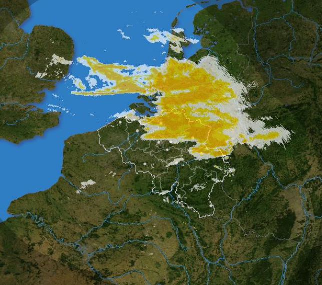
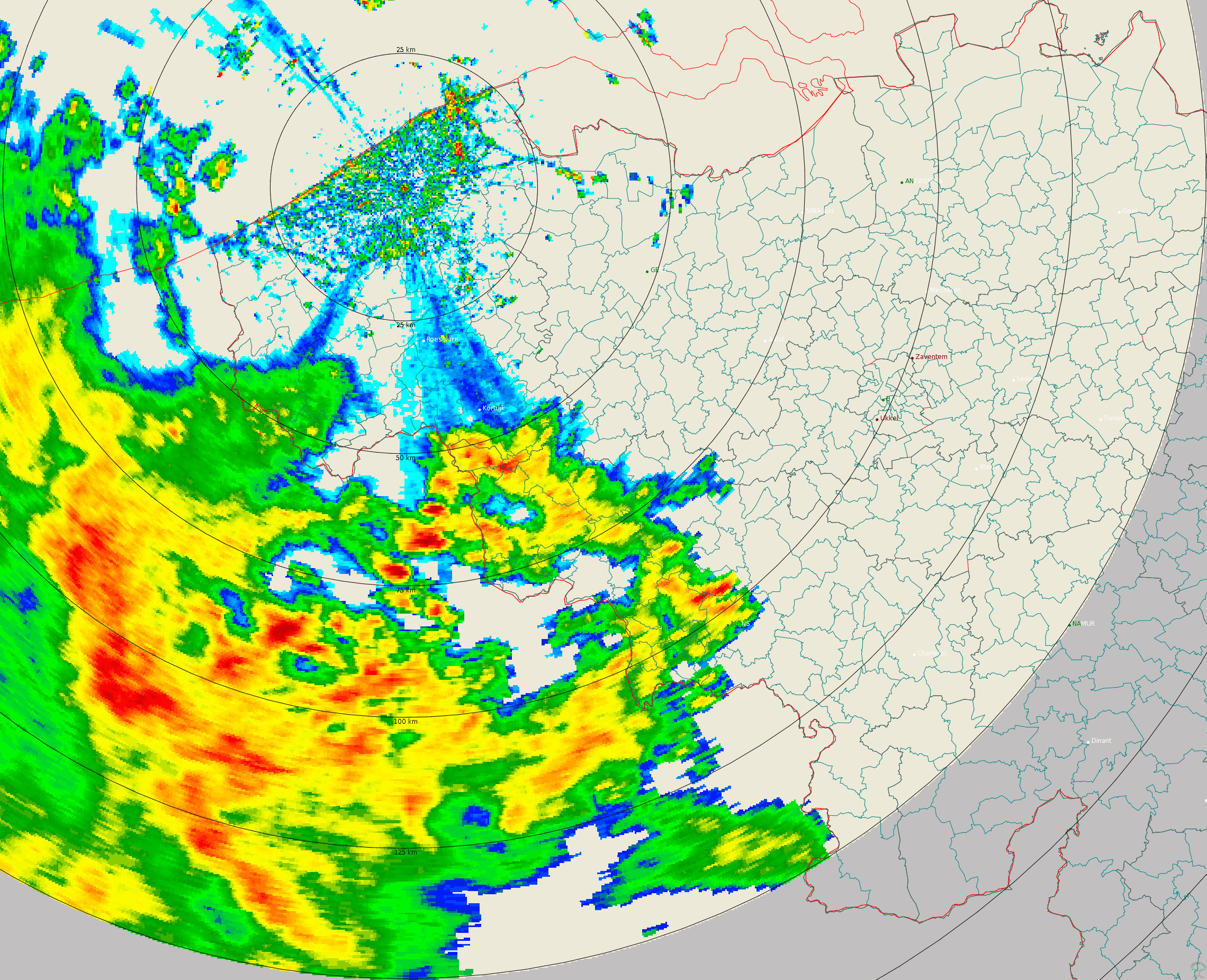
The composite is produced every 5 minutes using the reflectivity data from the Wideumont and Jabbeke weather radars. This product is not publicly available yet.
-
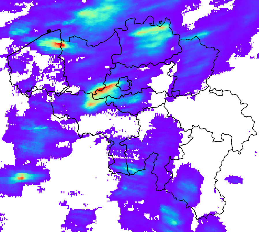
RADQPE provides high resolution radar-based quantitative precipitation estimation in realtime for Belgium and its surroundings. This product is not publically available yet.