federal government
Type of resources
Available actions
Topics
INSPIRE themes
federalThemes
Keywords
Contact for the resource
Provided by
Years
Formats
Representation types
Update frequencies
status
Service types
Scale
Resolution
-

INSPIRE compliant discovery service for geographic information made available by the Belgian Federal Government.
-

This AtomFeed download service provides access to datasets of GAPD that are not reported under the INSPIRE Directive. The datasets can be accessible for free or under conditions.
-

This AtomFeed download service provides access to datasets of GAPD that are reported under the INSPIRE Directive. The datasets can be accessible for free or under conditions.
-

This AtomFeed download service provides access to federal datasets that are reported under the INSPIRE Directive. The datasets can be accessible for free or under conditions.
-

This web service allows viewing the dataset BeStAddress.
-

This dataset corresponds to the dataset of address points on the Belgian territory. The result is obtained by merging the three regions on the basis of XML files which has been supplied to BOSA for the cooperation agreement BeStAddress. The dataset is freely downloadable.
-

This AtomFeed download service provides access to federal datasets that are not reported under the INSPIRE Directive. The datasets can be accessible for free or under conditions.
-

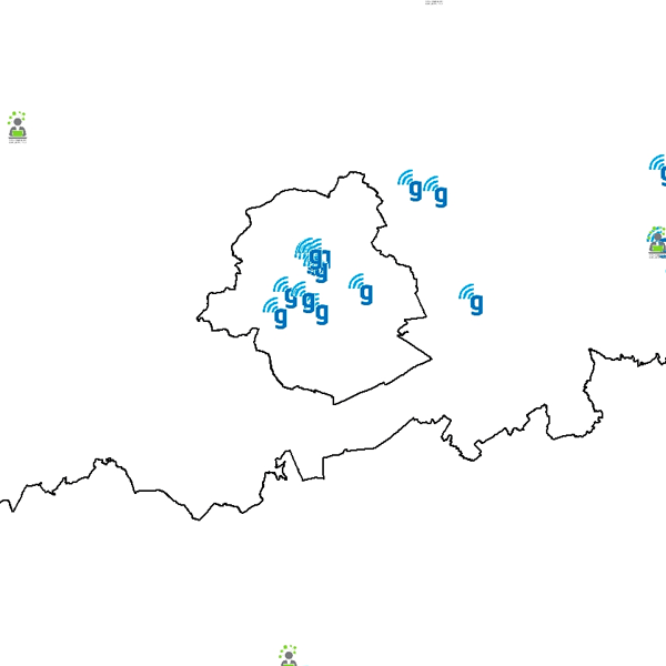
Govroam is a " wifi roaming " solution. This service offers to the users a simple and secure access to the wireless network of their institution, but also to networks of other participating institutions. A user from an organization that participates in govroam will be able to connect to any wireless access point broadcasting govroam. The data provided here makes it possible to locate these access points.
-

This web service allows viewing datasets from Buildings
-

This web service allows viewing/downloading datasets from Electricity network
 geo.be Metadata Catalog