infoMapAccessService
Type of resources
Available actions
INSPIRE themes
federalThemes
Keywords
Contact for the resource
Provided by
Years
Update frequencies
Service types
-

This web service allows viewing the dataset BeStAddress.
-
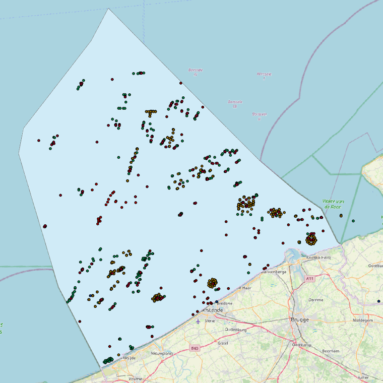
This web service allows viewing the datasets under the Marine Strategy Framework Directive (MSFD).
-
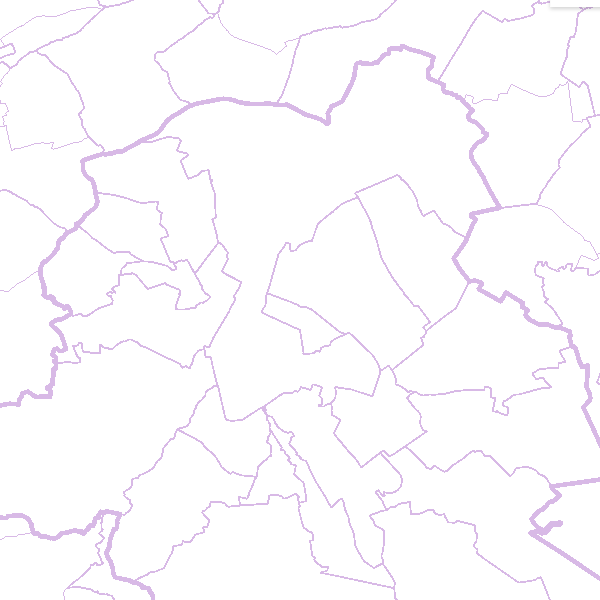
This web service allows viewing the territorial divisions that represent fully recognised Belgian geographical units. The AdminVector dataset encompasses the statistical sectors defined by the FPS Economy, the administrative units maintained by the FPS Finance and their centres, as well as the boundary stones. The datasets of the judicial cantons and judicial districts are built on the basis of their definition in the Judicial Code. The dataset of electoral cantons is built on the basis of its definition in the Electoral Code. The postal cantons dataset is based on the boundaries of the Belgian postal codes managed by bpost.
-
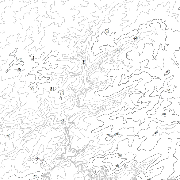
This web service allows viewing datasets from INSPIRE Contour Lines, and DTM.
-
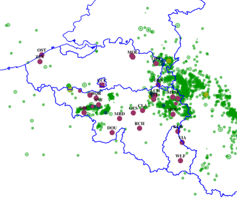
This web service allows viewing ROB datasets. This service is compliant with the INSPIRE specifications.
-
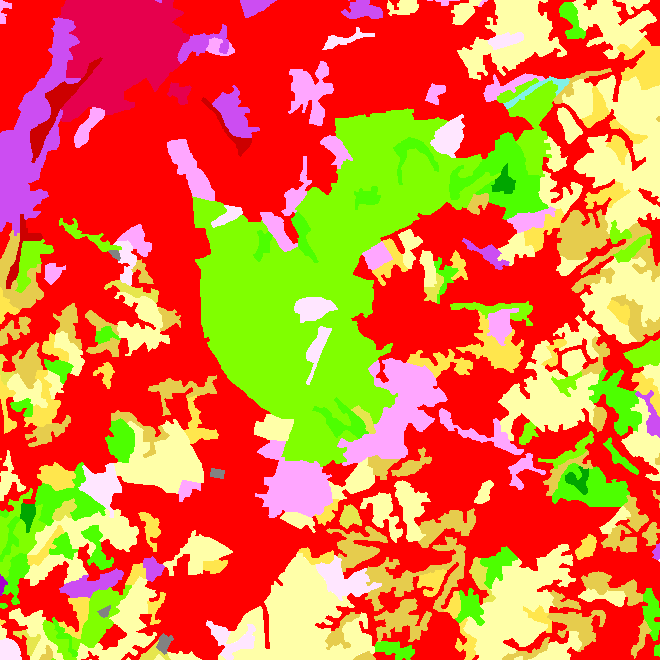
This web service allows downloading datasets from CORINE Land Cover-2018-Belgium, compliant with the INSPIRE data specifications
-

This web service allows viewing datasets from Buildings
-
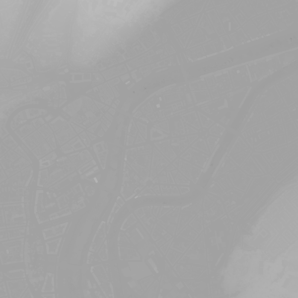
This webservice allows viewing a digital surface model. It is a homogeneous and regular points grid which indicates the height above the surface of the earth, either the soil or any other permanent and visible element in the landscape (vegetation, construction,…). These data represent the situation of the landscape resulting from the July 2021 floods in het areas of the Vesdre, of part of the Meuse downstream from Liège and of the Demer. The heights are given relative to the Belgian zero level (fictitious zero of Uccle). The data have a resolution (size of the meshes of the regular grid) of 20 cm.
-
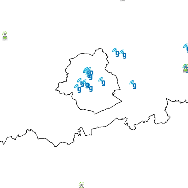
Govroam is a " wifi roaming " solution. This service offers to the users a simple and secure access to the wireless network of their institution, but also to networks of other participating institutions. A user from an organization that participates in govroam will be able to connect to any wireless access point broadcasting govroam. The data provided here makes it possible to locate these access points.
-
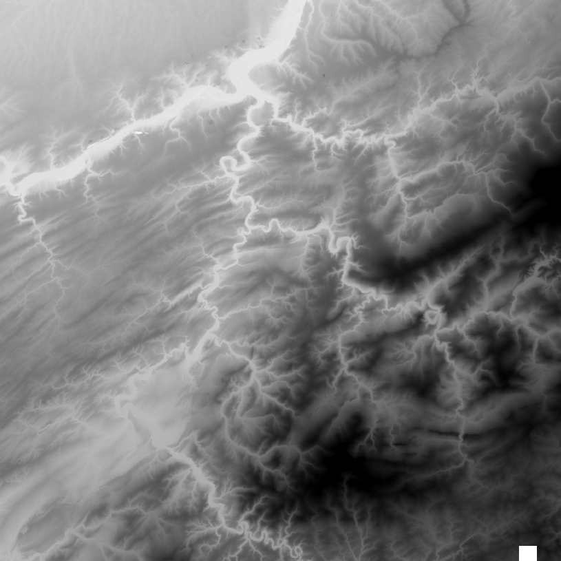
This web service allows the visualization of altimetry data. More specifically, it allows to visualize the National Geographic Institute's digital terrain model and the contours associated with it. This service is compliant with the INSPIRE specifications.
 geo.be Metadata Catalog