geo.be Metadata Catalog
Territorial Divisions (WMS)
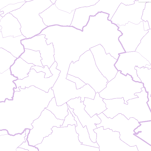
This webservice allows the Territorial Divisions product, which represents all recognised Belgian geographical units, to be visualised.
The AdminVector dataset includes the statistical, geographical and administrative units of Belgium.
The dataset of the judicial cantons and arrondissements displays the geographical units used for the organisation of the courts.
The dataset of the electoral cantons consists of geographical units used for the organisation of elections.
The dataset of the postal districts includes the boundaries of the Belgian postal cantons.
The link to the webservice is available under 'Access' at the bottom of this page.
Simple
- Date (Publication)
- 2012-11-12
- Date (Revision)
- 2025-01-06
- Citation identifier
- BE.NGI-IGN / e62c672b-60e9-4307-a929-a95fcbfa4e2a
- Point of contact
-
Organisation name Individual name Electronic mail address Role National Geographic Institute
Custodian
-
Annex D4 of the European Commission Regulation 1205/2008
- Keywords
-
-
Federal viewer
-
- Use limitation
- https://creativecommons.org/licenses/by/4.0/
- Access constraints
- Other restrictions
- Other constraints
- No limitations on public access
- Use constraints
- Other restrictions
- Other constraints
- https://creativecommons.org/licenses/by/4.0/
- Service Type
- view
- Description
-
Belgium
))
- Coupled Resource
-
Operation Name Scoped name Identifier GetCapabilities
daca9ccf-a9e1-11ec-a672-186571a04de2
GetCapabilities
9738c7c0-5255-11ea-8895-34e12d0f0423
- Coupling Type
- Tight
- Contains Operations
-
Operation Name Distributed Computing Platforms Connect Point GetCapabilities
Web services https://data.geo.be/ws/territorialdivisions/wms?request=getcapabilities&service=wms
Digital transfer options
- OnLine resource
-
Protocol Linkage Name OGC:WMS
https://data.geo.be/ws/territorialdivisions/wms?request=getcapabilities&service=wms
- Hierarchy level
- Service
Domain consistency
- Name of measure
-
INSPIRE Conformity
Conformance result
- Date (Publication)
- 2009-08-19
- Explanation
-
The service described meets the technical requirements as defined by the Commission Regulation (EC) No 976/2009 of 19 October 2009
- Pass
- Yes
Metadata
- File identifier
- e62c672b-60e9-4307-a929-a95fcbfa4e2a XML
- Metadata language
- English
- Character set
- UTF8
- Hierarchy level
- Service
- Date stamp
- 2026-07-02T15:02:58
- Metadata standard name
-
ISO 19115:2003/19139
- Metadata standard version
-
1.0
- Metadata author
-
Organisation name Individual name Electronic mail address Role National Geographic Institute
Floor Van Damme
Point of contact
- Other language
-
Language Character encoding French Dutch; Flemish German English UTF8