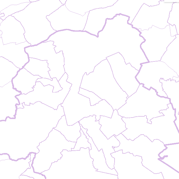
AdminVector
Simple
- Date (Creation)
- 2011-01-01
- Date (Revision)
- 2025-03-06
- Edition
- Version 4.1
- Identifier
- BE.NGI-IGN / fb1e2993-2020-428c-9188-eb5f75e284b9
- Purpose
- AdminVector contains data which are used primarily for making topographic and administrative maps. However, shifting data or other forms of generalization on behalf of these cartographic applications are avoided during the production of the vector data. As a matter of fact, these data constitute a geographic reference inventory and as such can be used as the basis for a wide range of applications. Whenever it was possible, national and international identification codes have been linked to AdminVector in order to facilitate links to other data sets.
- Status
- Completed
- Maintenance and update frequency
- Irregular
- Keywords
-
- HVD_cat_administrative units
- Use limitation
- https://creativecommons.org/licenses/by/4.0/
- Access constraints
- Other restrictions
- Other constraints
- No limitations on public access
- Use constraints
- Other restrictions
- Other constraints
- https://creativecommons.org/licenses/by/4.0/
- Spatial representation type
- Vector
- Denominator
- 10000
- Metadata language
- Nederlands; Vlaams
- Metadata language
- Français
- Character set
- 8859 Part 15
- Description
- Belgium
))
- Distribution format
- OnLine resource
-
View service for the Adminvactor data set
(
OGC:WMS
)
View service for the Adminvactor data set
- OnLine resource
-
Downloadable data
(
WWW:DOWNLOAD-1.0-http--download
)
Downloadable data
- OnLine resource
-
Downloadable data
(
WWW:DOWNLOAD-1.0-http--download
)
Downloadable data
- OnLine resource
-
Downloadable data
(
WWW:DOWNLOAD-1.0-http--download
)
Downloadable data
- OnLine resource
-
Downloadable data
(
WWW:DOWNLOAD-1.0-http--download
)
Downloadable data
- OnLine resource
-
https://ac.ngi.be/remoteclient-open/ngi-standard-open/Specifications/Vectordata/TerritorialDivisions_spectech_EN.pdf
(
WWW:LINK-1.0-http--link
)
technical specifications of the product
- Hierarchy level
- Dataset
- Dataset
- AdminVector
Domain consistency
- Name of measure
- INSPIRE Conformity
Conformance result
- Date (Publication)
- 2010-12-08
- Explanation
- The dataset’s compliance with the technical requirements as defined by the Commission Regulation (EU) No 1089/2010 of 23 November 2010 has not been checked
- Statement
- The first production of the administrative vector data at a conceptual scale of 1:10 000 by the NGI was executed by digitalizing the administrative boundaries on the basis of analogous topographic maps at the scale of 1:10 000. These data now come from the General Administration of Patrimonial Documentation (GAPD) of the FPS Finance and from Statbel, except for the border posts and former municipalities.
- Description
- The data are updated using official sources such as the law gazette and the General Administration for the Documentation of the Patrimony (land register office)
- File identifier
- fb1e2993-2020-428c-9188-eb5f75e284b9 XML
- Metadata language
- English
- Character set
- UTF8
- Parent identifier
- Territorial divisions 1cd00540-b0ca-11ec-a863-186571a04de2
- Hierarchy level
- Dataset
- Date stamp
- 2026-02-03T11:00:16
- Metadata standard name
- ISO 19115:2003/19139
- Metadata standard version
- 1.0
Overviews

Spatial extent
))
Provided by

 geo.be Metadata Catalog