 geo.be Metadata Catalog
society
Type of resources
Available actions
Topics
INSPIRE themes
federalThemes
Keywords
Contact for the resource
Provided by
Years
Formats
Representation types
Update frequencies
status
Scale
Resolution
-

Settlement area is defined here in terms of land use. Settelement area is the space occupy to live, work, relax and move around. This includes everything that seals the soil but also includes various forms of non-paved green space, such as gardens and parks or sports grounds and these are therefore not counted as open space. These indicators show the total settelement area expressed in m² and the part of the settlement area in relation to the total area per administrative entity (region, province, district and municipality) for Flanders.
-
Total of undeveloped aera en de part of undeveloped aera in relation to the total surface - Flanders
The areas not included in the settelement area considered to be categories of open space. However, open space should not be confused with green or undeveloped space. The settelement area also includes various forms of non-paved green space, such as gardens and parks or sports grounds and these are counted as developed area. These indicators show the total area of open space expressed in m² en de part of open area in relation to the total surface per administrative unit (region, province, district and municipality) for Flanders.
-
The ratio of the number of people aged over 80 to the number of people aged over 65 according to official statistics, per administrative entity (region, province, district and municipality) for Flanders
-
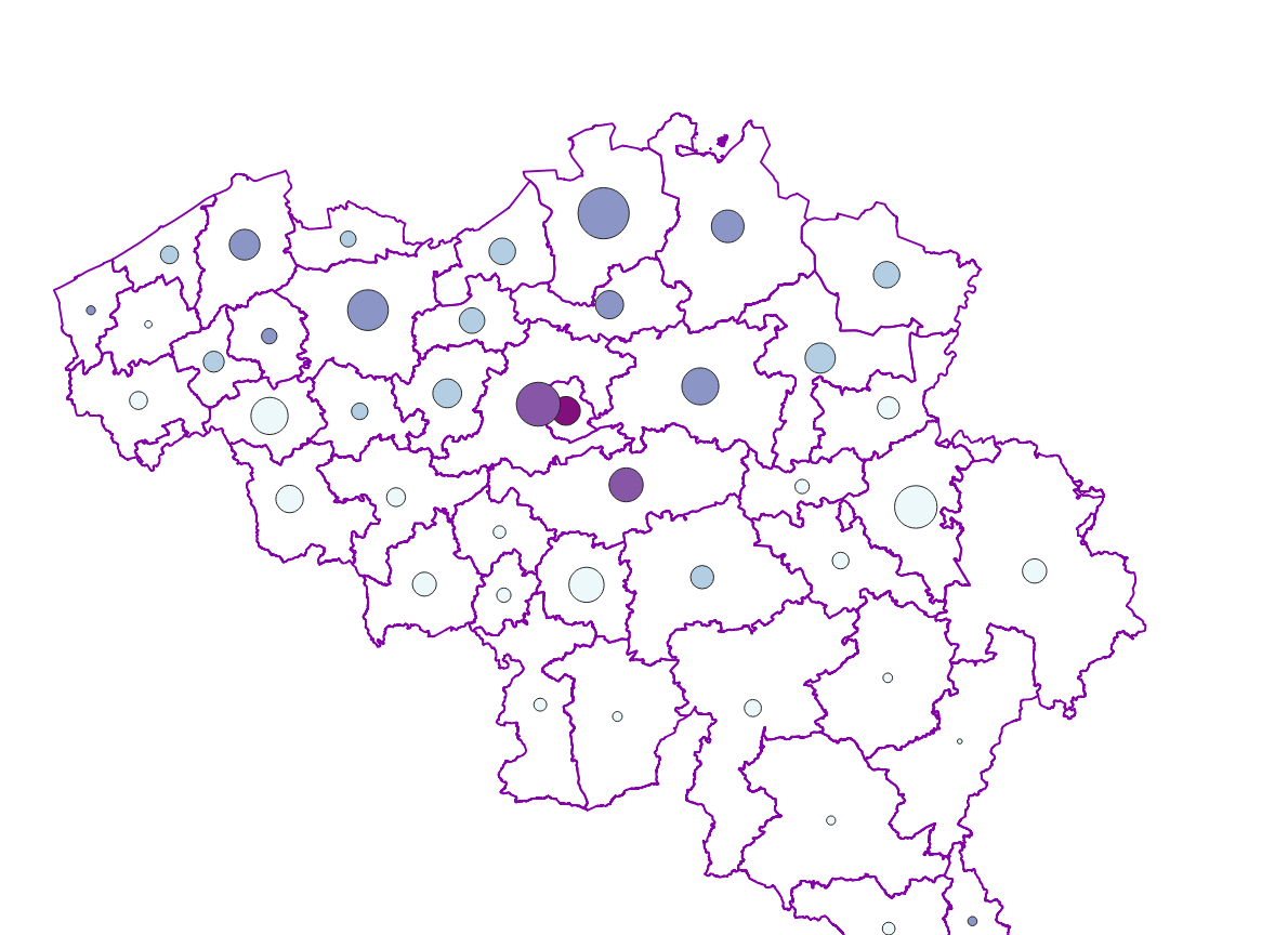
The number of inhabitants according to official statistics by age group (<20 years, >=65 years, >=80 years) and by administrative entity (region, province, district and municipality) for Flanders and the Brussels Capital Region
-
Real estate sales - Profile of the buyers corresponds to the dataset describing the profile of the buyers (natural persons) of real estate. This dataset is composed of seven classes. The first class shows, at the national level, for each cadastral nature and by price range the number of real estate property that was sold as well as the number of buyers broken down by age and gender categories. The second class includes this information at the level of the three regions. The following classes do the same at the level of provinces, arrondissements, municipalities, cadastral divisions and statistical sectors. The dataset can be freely downloaded as a zipped CSV.
-
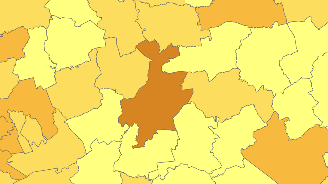
Share of the cadastral surface area that is artificially developed in the cadastral surface area and not unknown to the administrative entity (region, province, district and municipality) for Wallonia
-

Buyers' origin - Real estate companies corresponds to the dataset describing the origin of the buyers (legal persons engaged in real estate activities as defined in section L of the NACE-BEL 2008 nomenclature) of real estate located in Belgium according to the municipality of their headquarters for legal persons settled in Belgium and according to the country or territory of their headquarters for foreign legal persons (headquarter at the date of the deed). This dataset is made up of seven classes. The first class shows, at national level, for each type of property, the total number of parcels, the number of parcels acquired by buyers from each Belgian municipality and the number of parcels acquired by buyers from each country or territory. The number of parcels takes into account the shares actually acquired. The second class shows this information at the level of the three regions. The following classes do the same at the level of provinces, arrondissements, municipalities, land register divisions and statistical sectors. The dataset is freely downloadable, in the form of zipped CSV files.
-
The localised unemployment rate calibrated on the labour force survey (LFS), by administrative unit (region, province, district and municipality) for Belgium.
-
The files contain the population characteristics (total, gender and/or age groups) by municipality in Belgium on January 1st, according to the Belgian definition of the population. The Belgian definition does not take into account the 12-months criterion and excludes asylum seekers. More information at https://ec.europa.eu/eurostat/cache/metadata/en/demo_pop_esms.htm#unit_measure1589188532500.
-
The number of inhabitants according to official statistics by age group (<20 years, >=65 years, >=80 years) and by administrative entity (region, province, district and municipality) for Wallonia.