 geo.be Metadata Catalog
building
Type of resources
Available actions
Topics
INSPIRE themes
federalThemes
Keywords
Contact for the resource
Provided by
Years
Formats
Representation types
Update frequencies
status
Service types
Scale
-

This web service allows viewing datasets from Buildings
-

'Top10Vector – Particular Zones' is the vector dataset covering areas within Belgium that are designated for a specific purpose. This dataset contains just one feature type [ZO_particularzone]. The dataset can be downloaded via the links in 'Access' at the bottom of this page.
-

This web service provides the display of the datasets Administrative units - current situation and Land register plan - current situation. This webservice does not comply with the INSPIRE specifications, and the datasets to which it gives access do not comply with the INSPIRE specifications. This web service is available in several formats. It is recommended to use the PNG format.
-
'Top10Vector – Constructions' is the vector dataset of constructions in Belgium. The dataset consists of 7 feature types, including those for buildings [CO_constructions] and those for bridges and tunnels [CO_brunnel]. The geometry of buildings can be supplemented with additional point [CO_toweronbuilding] or surface elements [CO_additionalpolygongeometry], which indicate the position of towers or other structures on buildings. Other structures are polygon [CO_particularpolyconstruction], linear [CO_particularlineconstruction] or point [CO_particularpointconstruction] feature types. The dataset can be downloaded via the links in 'Access' at the bottom of this page.
-
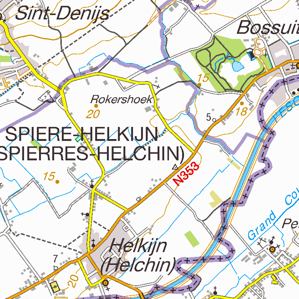
TopoMaps is a WMS allowing visualizing all images corresponding to the standard topographic cartographies made by the National Geographic Institute. As a result, it allows viewing cartographies on a 1:25 000 scale (Top25Map), on a 1:50 000 scale (Top50Map), on a 1:100 000 scale (Landcover100Map) and on a 1:250 000 scale (Top250Map), as well as the administrative map (AdminMap). With the exception of the administrative map, the cartographies show all themes of the topo-geographic inventory of the Belgian territory (ITGI) which is made and kept up-to-date by the National Geographic Institute: land use, transport, hydrography, buildings and constructions, relief, map lettering and toponyms.
-
Buildings is the INSPIRE 2D vector data set of the "Constructions" layer originated from the Top10vector product of the National Geographic Institute in Belgium . It includes the "Building" features and the "OtherConstruction" features in accordance with the INSPIRE specifications.