Science and technology
Type of resources
Available actions
Topics
INSPIRE themes
federalThemes
Keywords
Contact for the resource
Provided by
Years
Formats
Representation types
Update frequencies
status
Service types
Scale
Resolution
-

This web service provides a download per object of the dataset Cadastral parcels - INSPIRE. . This webservice complies with the INSPIRE specifications.
-

This web service provides a display of the dataset Cadastral parcels - INSPIRE. This webservice complies with the INSPIRE specifications and is available in several formats. It is recommended to use the PNG format.
-
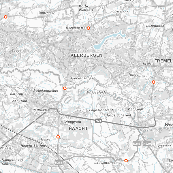
Geodetic markers of which the 3D coordinates are precisely known in common Belgian reference systems.
-
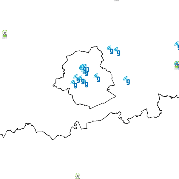
Govroam is a " wifi roaming " solution. This service offers to the users a simple and secure access to the wireless network of their institution, but also to networks of other participating institutions. A user from an organization that participates in govroam will be able to connect to any wireless access point broadcasting govroam. The data provided here makes it possible to locate these access points.
-
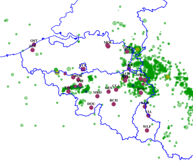
This web service allows dowload ROB datasets. This service is compliant with the INSPIRE specifications.
-

Govroam is a " wifi roaming " solution. This service offers to the users a simple and secure access to the wireless network of their institution, but also to networks of other participating institutions. A user from an organization that participates in govroam will be able to connect to any wireless access point broadcasting govroam. The data provided here makes it possible to locate these access points.
-
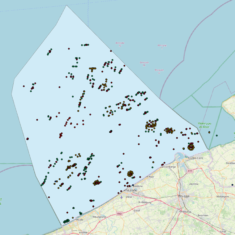
This web service allows viewing the datasets under the Marine Strategy Framework Directive (MSFD).
-

This webservice allows viewing a digital surface model. It is a homogeneous and regular points grid which indicates the height above the surface of the earth, either the soil or any other permanent and visible element in the landscape (vegetation, construction,…). These data represent the situation of the landscape resulting from the July 2021 floods in het areas of the Vesdre, of part of the Meuse downstream from Liège and of the Demer. The heights are given relative to the Belgian zero level (fictitious zero of Uccle). The data have a resolution (size of the meshes of the regular grid) of 20 cm.
-
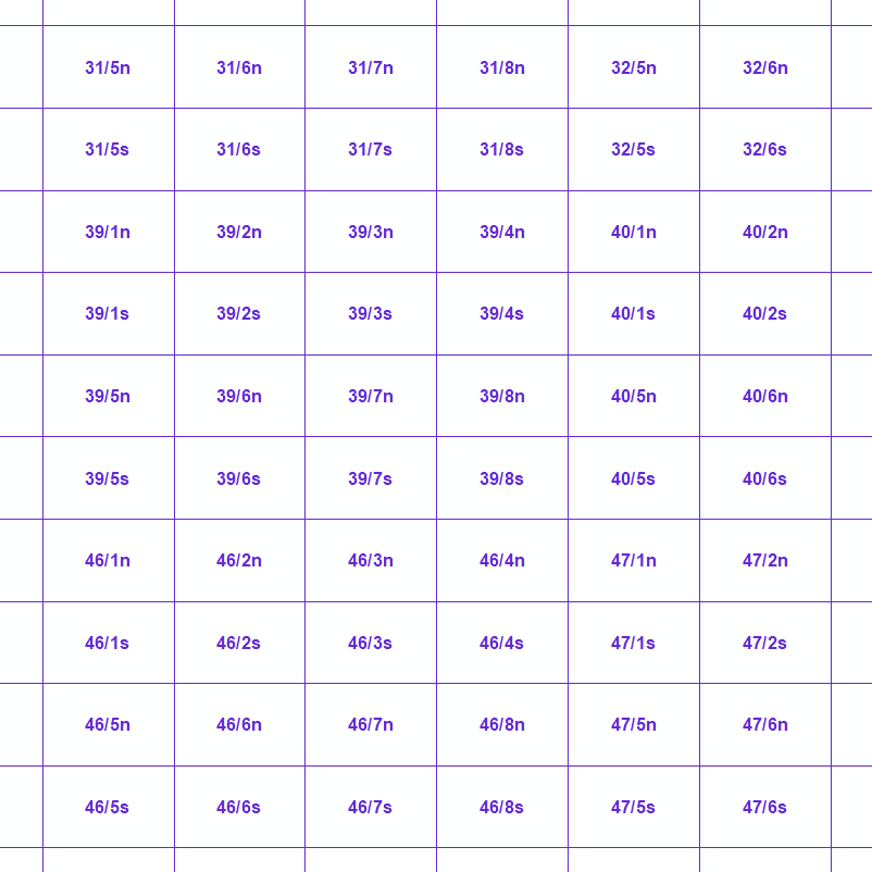
MapIndex is a regular grid of rectangular or square cells coded with alphanumeric characters. It has been defined for the Belgian territory and allows geolacating several events. The present version is a beta (v2)version which is submitted to the emergency services. It will evolve to a standard cartographic grid.
-
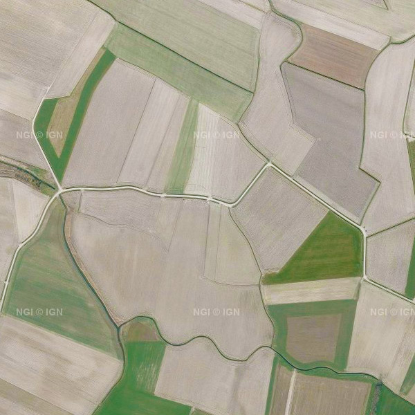
Orthophotos are digital aerial photographs in which the systematic distortions caused by the central projection, terrain relief and an image acquisition axis that is not always perfectly vertical have been corrected. The national orthophoto coverage is renewed annually. This view service makes it possible to visualise the national orthophoto mosaics for multiple acquisition campaigns from 2016 onwards for the entire territory of Belgium. A separate layer is published for each available year. In the current version of the service, the series of yearly layers runs from 2016 up to and including 2023, with 2023 being the most recent orthophoto coverage in this view service. For the 2016–2021 campaigns, the orthophotos have a spatial resolution of 25 cm throughout Belgium. From the 2022 campaign onwards, the resolution is 25 cm in Wallonia and 15 cm in Flanders and the Brussels-Capital Region. The view service is directly based on the orthophoto datasets of the Belgian administrative Regions, which are harmonised by NGI into a single national coverage without applying additional radiometric corrections. The orthophoto coverage is provided through this Web Map Service (WMS) and is intended for visualisation and use as a background map. For downloading the most recent orthophoto mosaics, reference is made to the associated dataset and download service “Orthophoto”.
 geo.be Metadata Catalog