Reporting INSPIRE
Type of resources
Available actions
Topics
INSPIRE themes
federalThemes
Keywords
Contact for the resource
Provided by
Years
Formats
Representation types
Update frequencies
status
Service types
Scale
Resolution
-

This AtomFeed download service provides access to datasets of GAPD that are reported under the INSPIRE Directive. The datasets can be accessible for free or under conditions.
-

This web service provides a download per object of the dataset Cadastral parcels - INSPIRE. . This webservice complies with the INSPIRE specifications.
-

This web service provides a download per object of the Administrative Units -INSPIRE dataset. This webservice complies with the INSPIRE specifications.
-

This AtomFeed download service provides access to federal datasets that are reported under the INSPIRE Directive. The datasets can be accessible for free or under conditions.
-

This web service provides a display of the Administrative Units - INSPIRE datase This webservice complies with the INSPIRE specifications.
-

This web service provides a display of the dataset Cadastral parcels - INSPIRE. This webservice complies with the INSPIRE specifications and is available in several formats. It is recommended to use the PNG format.
-
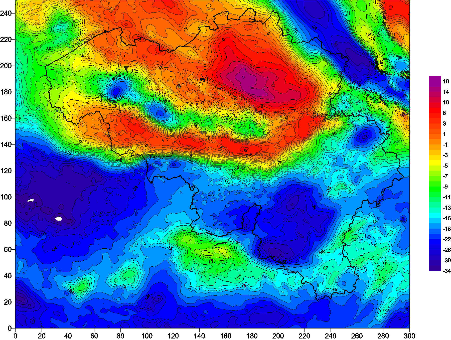
The Belgian gravimetric database consists of 69,000 measurements, made using relative spring gravimeters. This database is managed by the Royal Observatory of Belgium since 1925. Two superconducting gravimeters measure elusive gravity variations at the stations of Membach and Rochefort, with a precision better than 1E-10 of gravity at the surface of the Earth (g). Since 1996, an absolute gravimeter performs repeated gravity measurements at selected sites, with an accuracy of 1E-9 g.
-
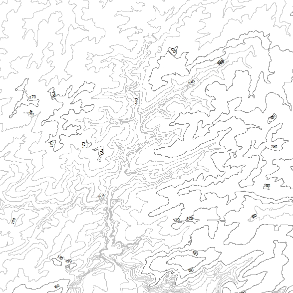
This web service allows viewing datasets from INSPIRE Contour Lines, and DTM.
-

This web service allows viewing/downloading datasets from Electricity network
-
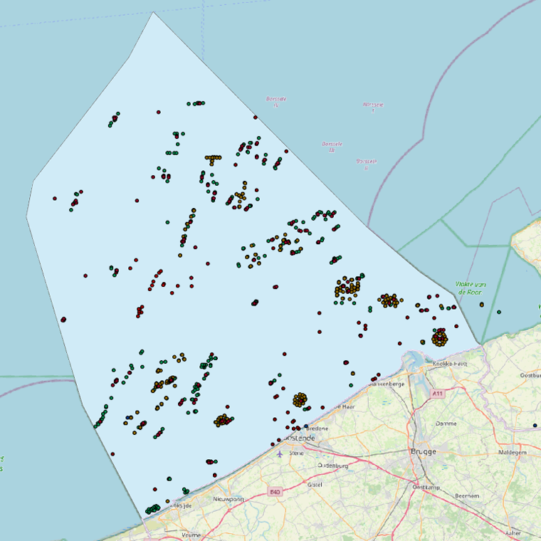
This web service allows viewing the datasets under the Marine Strategy Framework Directive (MSFD).
 geo.be Metadata Catalog