 geo.be Metadata Catalog
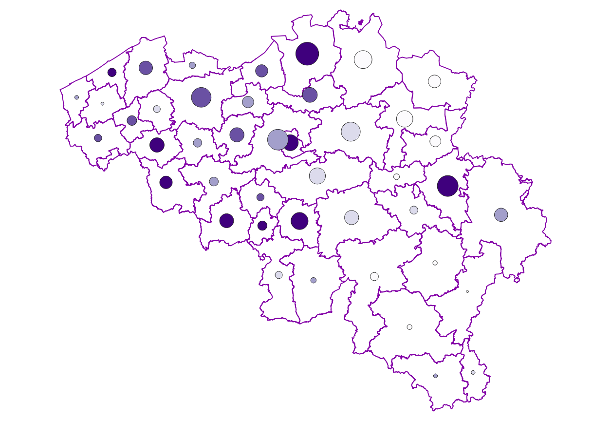
Cadastral parcels
Type of resources
Available actions
Topics
INSPIRE themes
federalThemes
Keywords
Contact for the resource
Provided by
Years
Formats
Representation types
Update frequencies
status
Service types
Scale
-

CadGIS Viewer is an application developed by the General Administration of Patrimonial Documentation of the FPS Finance. This application allows to: - consult the current situation of the land register plan and the administrative units and print them out; - consult all the tax situations since 2018 (situation as on 1 January) for the land register plan and administrative units; - search and geolocate the objects on the land register plan on the basis of space characteristics or queries; - ask for and print out cadastral plan parcels within a certain range around or adjacent to one or more parcels ; - search graphically on the map for surveyors' plans (only for surveyors); - add additional data to the map, both from a predefined list (IGN - Belgian national geographical institute’s aerial photographs, Cartoweb, regional reference frames such as GRB and PICC, ...) as well as other data via the URL of web services.
-
This web service provides the download per object of the datasets Administrative units - current situation and Land register plan - current situation. This webservice does not comply with the INSPIRE specifications, and the datasets to which it gives access do not comply with the INSPIRE specifications.
-
Characteristics of the cadastral parcels - Condition of the building corresponds to the dataset describing the physical characteristics of the built-on parcels such as recorded by the FPS Finance for tax purposes. This dataset is composed of seven classes. The first class shows, at the national level, for each type of built-on land the total number of parcels as well as the number of parcels meeting various qualitative criteria (such as the number of parcels equipped with central heating, or the number of parcels built before 1900). The second class includes this information at the level of the three regions. The following classes do the same at the level of provinces, arrondissements, municipalities, cadastral divisions and statistical sectors. The dataset can be freely downloaded as a zipped CSV.
-

Cadastral Parcels - INSPIRE corresponds to the dataset of Belgian plan cadastral parcels complying with INSPIRE specifications. This dataset is composed of two classes. The first class contains cadastral zoning and the second class contains cadastral parcel. The entire dataset can be downloaded via the ad hoc WFS.
-

Cadastral parcels - monthly situation corresponds to the dataset of the monthly situation of the cadastral parcels layer from the Land Register plan. The dataset is composed of two classes. The first class contains the geometries of the cadastral parcels; the second is a class without geometry and corresponds to a code table of the different fiscal situations used in the first class. The dataset can be freely downloaded as a zipped shapefiles.
-

Characteristics of the cadastral parcels - Exemption from withholding tax on immovable property corresponds to the dataset describing the parcels exempted from withholding tax on immovable property. The first class shows, at the national level, the number of parcels per exemption category, the total amount of cadastral income of these parcels, their surface area as well as the median cadastral income of each category. The second class includes this information at the level of the three regions. The following classes do the same at the level of provinces, arrondissements, municipalities, cadastral divisions and statistical sectors. The dataset can be freely downloaded as a zipped CSV.
-
Mapping plan parcel - statistical sector corresponds to the dataset associating a plan parcel such as defined in article 2 of the Royal Decree of July 30th 2018 with the statistical sector including it. This dataset is composed of a single class mentioning the identifier of the plan parcels as well as the identifier of the statistical sectors. The dataset can be freely downloaded as a zipped CSV.
-

Real estate leases - annual version corresponds to the dataset describing leases on real estate items as recorded for registration purposes by the FPS Finance. This dataset is composed of five classes. The first class shows, at the national level, for each type of lease, the number of leases registered, the nature of the parties concerned by the contract and the median rent of the properties concerned. The second class includes this information at the level of the three regions. The following classes do the same at the level of provinces, arrondissements, municipalities. The dataset can be freely downloaded as a zipped CSV.
-
Land register plan - current situation corresponds to the dataset of land register from the reference database for the land register data CadGIS. The land register plan is one of the elements that make up the patrimonial documentation. It is defined as “the graphic representation and assembling on a plan of all the cadastral plan parcels of the Belgian territory”. A plan parcel, such as defined in Article 2 of the Royal Decree of 30 July 2018, is a part of Belgian territory, geographically delimited and identified by the General Administration of Patrimonial Documentation on the land register plan, which corresponds to the ground surface area of one or more patrimonial cadastral parcel(s) (real estate property as mentioned in Article 472 of the 1992 Income Tax Code in respect of which the cadastral income is fixed). This dataset corresponds to the current situation at the time of consultation. It is composed of fourteen geometric layers. The first five are the administrative units, namely the country, the regions, the provinces, the districts and the municipalities. The sixth and seventh layers correspond to the cadastral units, divisions and sections. the eighth layer includes the cadastral blocks, the ninth, the property stones, the tenth, the addresses, the eleventh, the polders and wateringues, the twelfth, the cadastral plan parcels, the thirteenth the buildings managed by the AGDP, and the fourteenth, buildings managed by the regions. The dataset is freely downloadable via the ad hoc WFS.
-

Distribution of real estate assets - Legal persons corresponds to the dataset relating to the distribution of real estate assets owned by legal entities such as recorded by the FPS Finance for tax purposes. This dataset is composed of eight classes. The first class mentions, at national level, for each cadastral income bracket, the number of legal persons grouped together by economic activity with real estate capital valued in the relevant bracket as well as the total and median cadastral income of the parcels held by these entities. The assessment of the cadastral income takes into account the shares actually held. The second class includes this information at the level of the three regions. The following classes do the same at the level of provinces, districts, municipalities, land register divisions and statistical sectors. The last class includes this information at the level of the countries for the legal entities which are not settled in Belgium but wich are nevertheless reigstred at the Carrefour Banque of the Entreprises. The dataset can be freely downloaded as a zipped CSV.