 geo.be Metadata Catalog
FPS Finance - General Administration of Patrimonial Documentation (GAPD)
Type of resources
Available actions
Topics
INSPIRE themes
federalThemes
Keywords
Contact for the resource
Provided by
Years
Formats
Representation types
Update frequencies
status
Service types
Scale
-

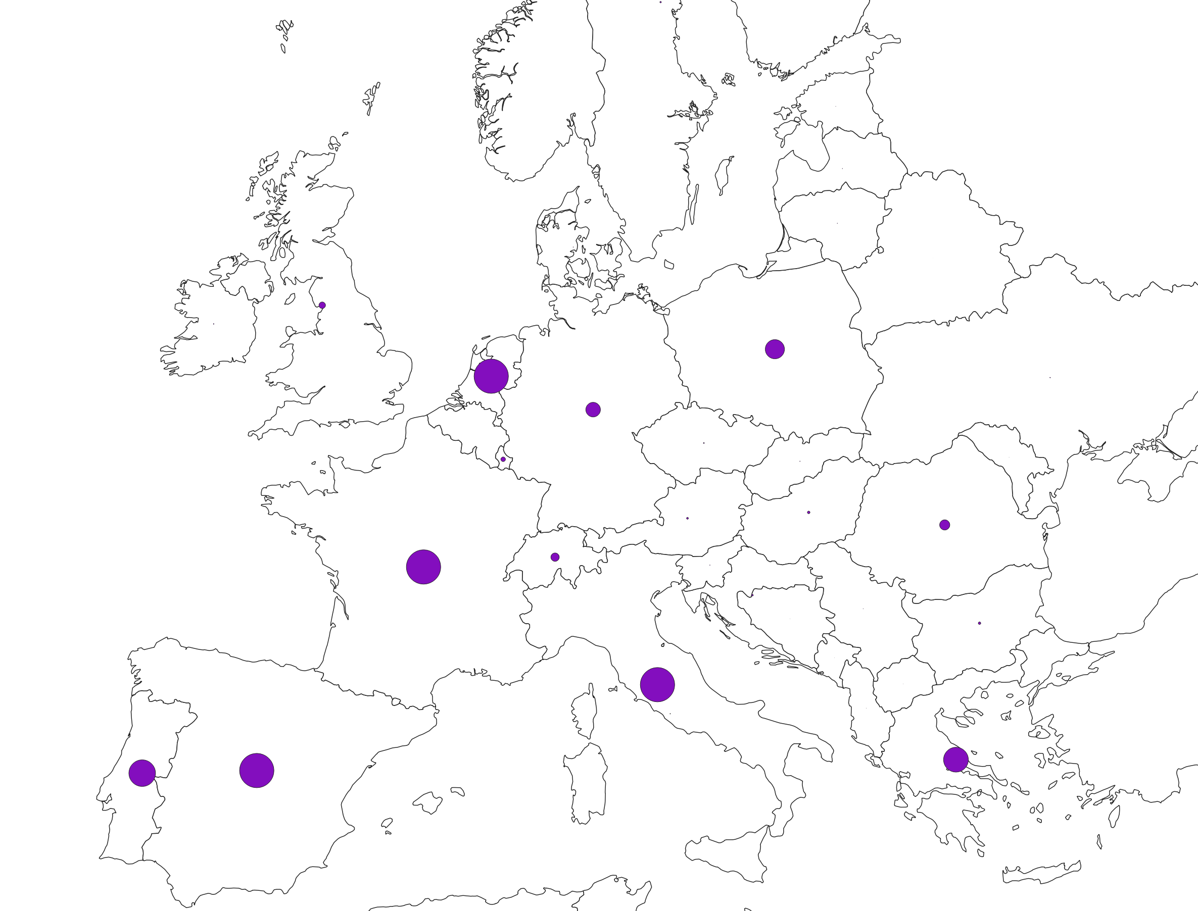
Buyers' origin - Natural persons corresponds to the dataset describing the origin of the buyers (natural persons) of real estate located in Belgium according to their municipality of residence for residents and according to their country or territory of residence for the non-residents (residence at the date of the deed). This dataset is made up of seven classes. The first class shows, at national level, for each type of property, the total number of parcels, the number of parcels acquired by buyers from each Belgian municipality and the number of parcels acquired by buyers from each country or territory. The number of parcels takes into account the shares actually acquired. The second class shows this information at the level of the three regions. The following classes do the same at the level of provinces, arrondissements, municipalities, land register divisions and statistical sectors. The dataset is freely downloadable, in the form of zipped CSV files.
-

Real estate leases corresponds to the dataset describing leases on real estate items as recorded for registration purposes by the FPS Finance. This dataset is composed of seven classes. The first class shows, at the national level, for each type of lease within the meaning of the Code of Registration Duties, the number of leases taking effects during the term, the nature of the parties concerned by the contract and the median rent and expenses and the percentiles 25 and 75 of the rent and expenses of the properties concerned. The second class includes this information at the level of the three regions. The following classes do the same at the level of provinces, arrondissements, municipalities, cadastral divisions and statistical sectors. The dataset can be freely downloaded as a zipped CSV.
-

Real estate property dynamics corresponds to the dataset describing changes in ownership in Belgium as recorded by the FPS Finance. This dataset comprises seven classes. The first class includes, at national level, for each cadastral nature, the total number of parcels, the number of parcels that have changed ownership at different time intervals, the median and mean duration since the last change of ownership, the 25 and 75 percentiles of the duration since the last change of ownership, and the mean duration of ownership rotation over the entire existence of the parcels. The second class uses this information for all three regions. The following classes do the same for provinces, arrondissements, communes, cadastral divisions and statistical sectors. The dataset is freely downloadable as zipped CSV files.
-
Foreign real estate - Property characteristics corresponds to the dataset of foreign real estate held by belgian taxpayers as declared to the FPS Finance (only the holders of rights allowing the enjoyment of the property are taken into account). This dataset consists of one class. This class includes, for each foreign country or territory, the number of properties in each category, the total cadastral income of these properties, the median cadastral income of each category, as well as the 25 and 75 percentiles of the cadastral income of each category.
-
Emergency rescue zones corresponds to the dataset of the territorial delimitation of the emergency areas such as defined by the Royal Decree of February 2nd 2009 determining the territorial delimitation of the emergency areas in accordance with the law of May 15th 2007 on civil protection. This dataset is composed of two classes. The first class contains the identifiers, names and geometries of the various areas; the second is a class without geometry and corresponds to the table of Belgian municipalities with the emergency area for each of them. The dataset can be freely downloaded as a zipped shapefiles.
-

Administrative Units - INSPIRE corresponds to the dataset of the Belgian administrative units that complies with the INSPIRE specifications. This dataset is composed of two classes. The first class contains administrative units and the second class contains administrative boundaries. The class are composed of the following administrative level: Kingdom, Regions, Provinces, and arrondissements, and municipalities. The entire dataset can be downloaded via the ad hoc WFS.
-

Owners' origin - Legal persons corresponds to the dataset describing the origin of the legal persons holders of real rights over immovable properties located in Belgium according to the municipality of their headquarters for legal persons settled in Belgium and according to the country or territory of their headquarters for foreign legal persons. This dataset is made up of seven classes. The first class shows, at national level, for each type of property, the total number of parcels, the number of parcels held by holders from each Belgian municipality and the number of parcels held by holders from each country or territory. The number of parcels takes into account the shares actually held. The second class shows this information at the level of the three regions. The following classes do the same at the level of provinces, arrondissements, municipalities, land register divisions and statistical sectors. The dataset is freely downloadable, in the form of zipped CSV files.
-
This web service provides a download per object of the Administrative Units -INSPIRE dataset. This webservice complies with the INSPIRE specifications.
-
This web service provides a display of the Administrative Units - INSPIRE datase This webservice complies with the INSPIRE specifications.
-
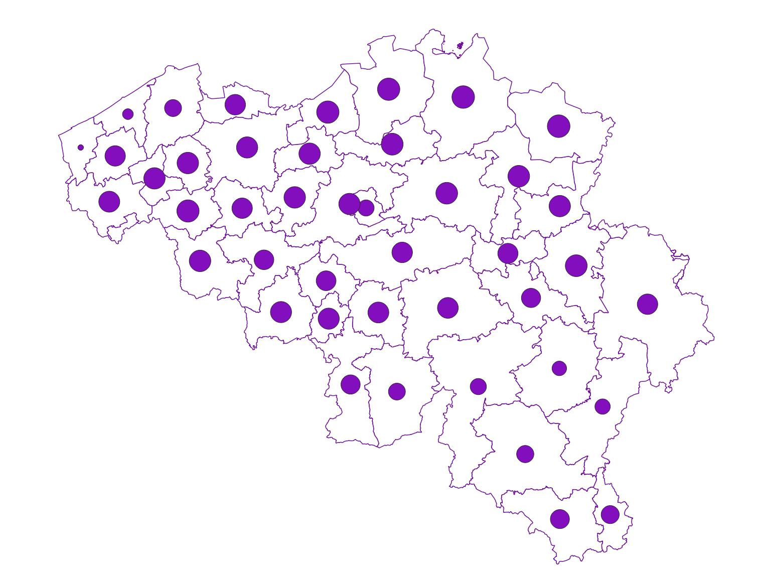
Owners' origin - Natural persons corresponds to the dataset describing the origin of the natural persons holders of real rights over immovable properties located in Belgium according to the municipality of residence for residents and according to the country or territory of residence for the non-residents. This dataset is made up of seven classes. The first class shows, at national level, for each type of property, the total number of parcels, the number of parcels held by holders from each Belgian municipality and the number of parcels held by holders from each country or territory. The number of parcels takes into account the shares actually held. The second class shows this information at the level of the three regions. The following classes do the same at the level of provinces, arrondissements, municipalities, land register divisions and statistical sectors. The dataset is freely downloadable, in the form of zipped CSV files.