 geo.be Metadata Catalog
service-view
Type of resources
Available actions
INSPIRE themes
federalThemes
Keywords
Contact for the resource
Provided by
Years
Formats
Update frequencies
status
Service types
-

Mapindex is a WMS which allows viewing the regular index grid which has been defined on five levels for the entire Belgian territory. It has been defined in order to allow a zonal geolocation. The present version is a beta version (v2) which is submitted to the emergency services. It will evolve to a standard cartographic grid.
-

INSPIRE compliant view service for geographic information of the Marine Spatial Plan made available by the Royal Belgian Institute for Natural Sciences (RBINS).
-

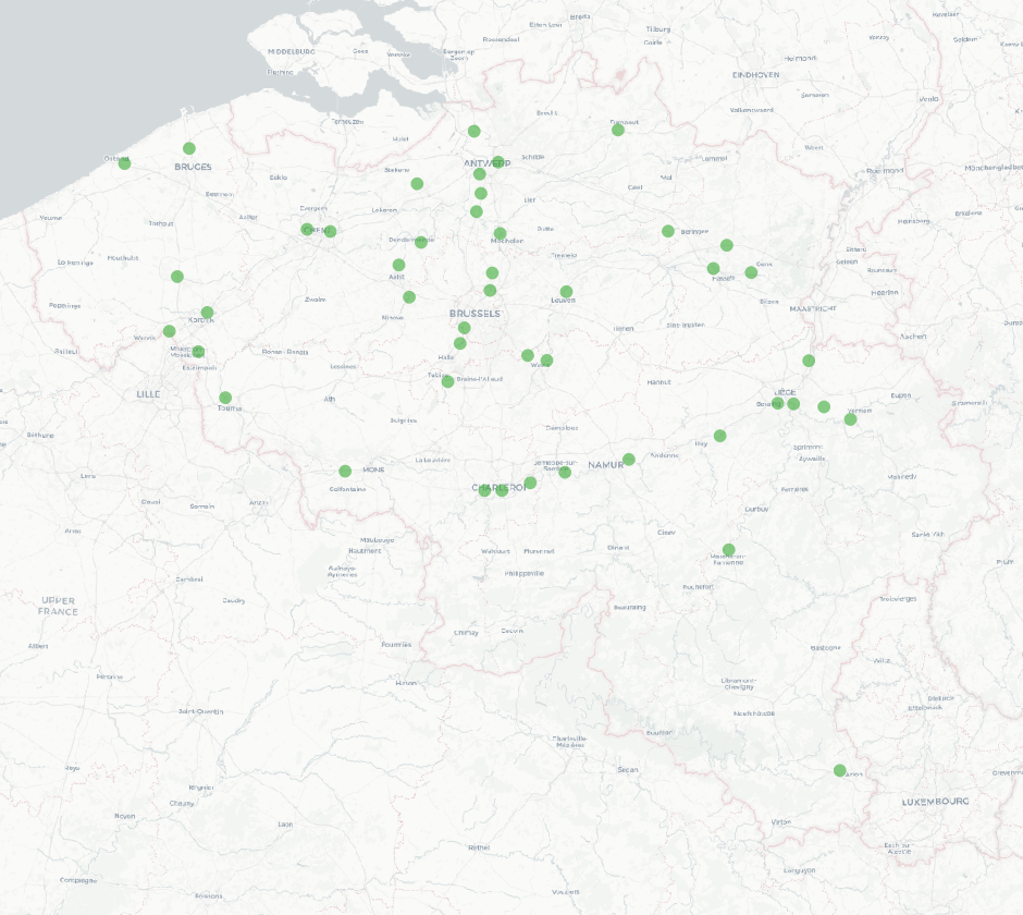
Govroam is a " wifi roaming " solution. This service offers to the users a simple and secure access to the wireless network of their institution, but also to networks of other participating institutions. A user from an organization that participates in govroam will be able to connect to any wireless access point broadcasting govroam. The data provided here makes it possible to locate these access points.
-

This web service allows viewing CORINE High Resolution Layers Belgium covering the Belgian territory within the framework of a Pan-European coverage. This service is compliant with the INSPIRE specifications.
-
INSPIRE compliant view service for geographic information of the Marine Spatial Plan made available by the Royal Belgian Institute for Natural Sciences (RBINS).
-
The national wastewater-based epidemiological surveillance monitors public health parameters in several wastewater treatment plants across Belgium. This webservice contains the results per treatment plant since the beginning of the surveillance in September 2020. The results consist of concentrations over time as well as other data needed for the interpretations such as the flow rates of the treatment plants and the population covered.
-

This web service allows visualization of the Points Of Interest (POI) indicating the location of places of interest in Belgium, collected by NGI. The dataset consists of 97 POI types grouped into 6 classes (natural elements, religious elements, patrimonial elements, elements of general interest, infrastructures, economy).
-

This web service allows viewingdatasets from bpost.
-

This web service allows viewing datasets from CORINE Land Cover-2018-Belgium.
-

This webservice allows the Territorial Divisions product, which represents all recognised Belgian geographical units, to be visualised. The AdminVector dataset includes the statistical, geographical and administrative units of Belgium. The dataset of the judicial cantons and arrondissements displays the geographical units used for the organisation of the courts. The dataset of the electoral cantons consists of geographical units used for the organisation of elections. The dataset of the postal districts includes the boundaries of the Belgian postal cantons. The link to the webservice is available under 'Access' at the bottom of this page.