view
Type of resources
Available actions
INSPIRE themes
federalThemes
Keywords
Contact for the resource
Provided by
Years
Formats
Update frequencies
status
Service types
-
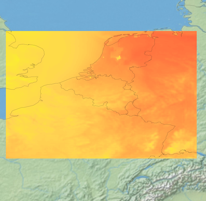
View Service (WMS) for Alaro over Belgium. All the parameters of the last run of Alaro can be visualized, most of them associated with a custom style.
-
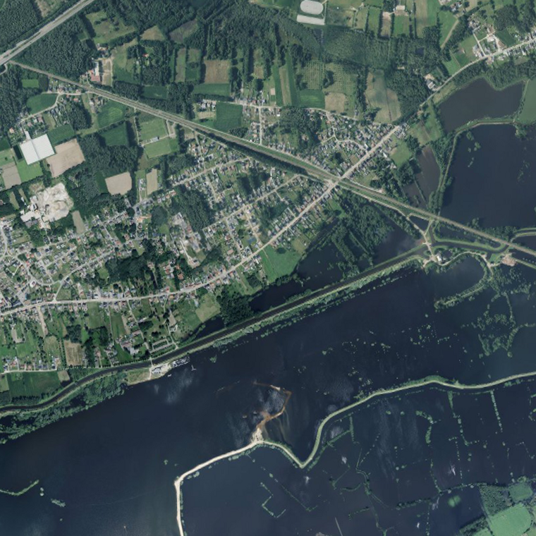
The service makes it possible to view the aerial photos with orthorectification taken by Hansa Luftbild at NGI's request following the floods of July 2021 in the areas of the Vesdre, part of the Meuse downstream of Liège and the Demer. The resolution of the original data is 6.5 cm (4 cm above the Hoëgne). The service allows the images to be viewed at a maximum resolution of 25 cm. Orthophotos are digital aerial photographs in which the systematic distortions due to the central projection, relief and the not always perfectly vertical axis of shooting have been corrected. The orthophoto thereby obtained is metrically more accurate than an ordinary aerial photograph and is highly valuable as basic information.
-
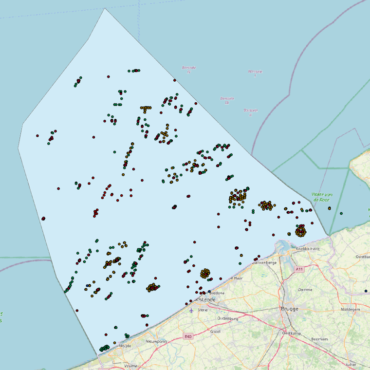
This web service allows viewing the datasets under the Marine Strategy Framework Directive (MSFD).
-
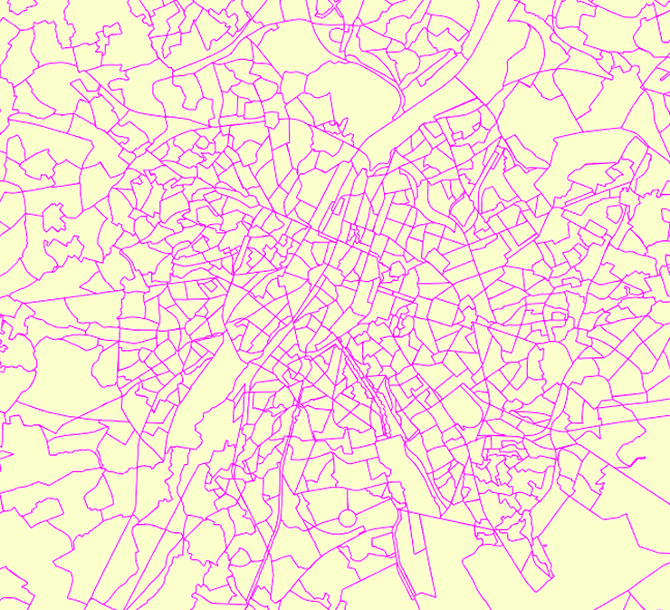
Deze web-service verzekert de visualisatie van de gegevens van de FOD Economie, conform aan de specificaties van INSPIRE. De datasets waarvan de structuur conform de specificaties van INSPIRE zijn, zijn opgenomen.
-
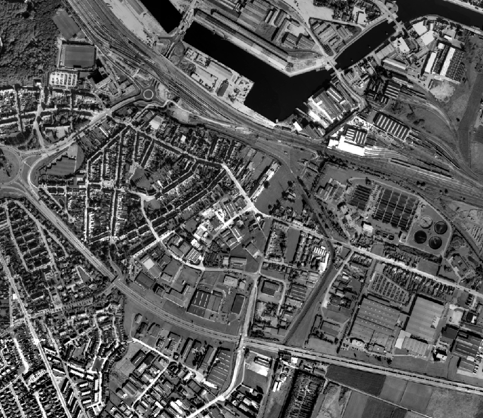
This service allows the visualization of historical orthophoto mosaics based on available aerial photographs covering parts of the Belgian territory. The data is accessible via a Web Map Service (WMS). Orthophotos are aerial photographs that have been geometrically corrected (orthorectified) to eliminate distortions caused by terrain relief, lens distortion, and camera tilt. Unlike raw aerial imagery, orthophotos have a uniform scale and accurate geometry, making them suitable for cartography, measurements, and visual analysis. This specific service includes historical orthophotos from 2010, 2011, 2012, 2013, 2014 and 2015, derived from aerial surveys carried out by the National Geographic Institute (NGI) and the Regions. During this period, both analogue and digital aerial photographs are available. The analogue images were scanned at high resolution and, like the digital ones, orthorectified. The resulting orthophotos were assembled into mosaics and georeferenced in the Lambert 2008 coordinate system. All orthophotos are in colour (RGB). The ground resolution (GSD) varies between 10 cm and 50 cm, depending on the sensor used and the surveyed area. The spatial coverage of this service is limited to the zones for which aerial photographs were available during the mentioned period.
-
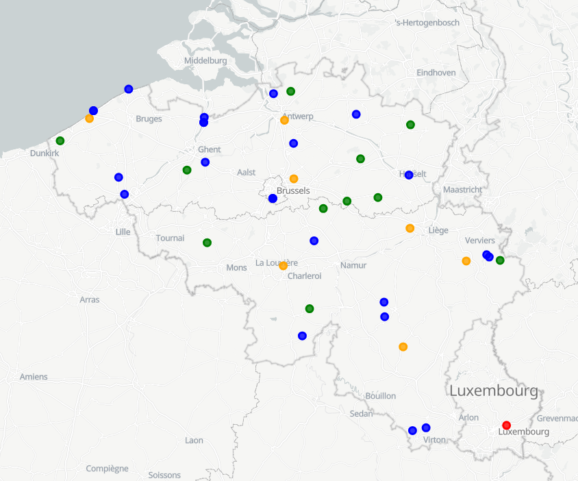
View Service (WMS) for Synoptic observations
-
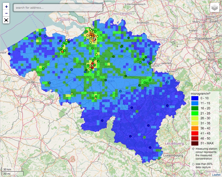
INSPIRE compliant download service for geographic information made available by the Belgian Interregional Environment Agency (IRCEL - CELINE).
-

INSPIRE compliant view service for geographic information of the Marine Spatial Plan made available by the Royal Belgian Institute for Natural Sciences (RBINS).
-

INSPIRE compliant view service for geographic information of the datasets of the Marine Strategic Framework Directive made available by the Royal Belgian Institute for Natural Sciences (RBINS).
-
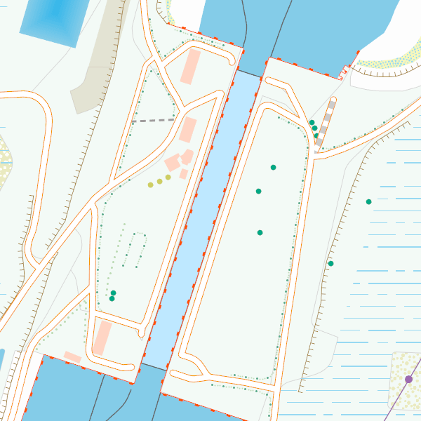
CartoWeb.be is a Web Service (WMTS/WMS) containing cartographic representations covering 11 scale levels. CartoWeb.be offers a cartographic representation which has been developed specifically for on-screen viewing of the NGI’s most recent vector data sets. Three versions are available for the Belgian territory: 1) a TOPO layer containing a cartographic representation at all scales; 2) a TOPO-GREY layer, which is the symbolisation in different shades of grey and blue of the TOPO layer. It constitutes an ideal map background; 3) an OVERLAY (1:2 500 - 1:25 000) layer destined to be used as an overlay on other data (orthophotographs for instance). This layer contains the symbolisation of a few layers only. Two other layers, CROSSBORDER and CROSSBORDER-GREY, are available in order to allow viewing (only on the smallest scales 1:100 000 – 1:4 000 000) the European context of Belgium. The extent of this representation is limited and could change in the following versions. It is best to combine the CROSSBORDER layer with the TOPO layer. It is best to combine the CROSSBORDER-GREY layer with the TOPO-GREY-layer.
 geo.be Metadata Catalog