 geo.be Metadata Catalog
2018
Type of resources
Available actions
Topics
INSPIRE themes
federalThemes
Keywords
Contact for the resource
Provided by
Years
Formats
Representation types
Update frequencies
status
Service types
Scale
Resolution
-

Govroam is a " wifi roaming " solution. This service offers to the users a simple and secure access to the wireless network of their institution, but also to networks of other participating institutions. A user from an organization that participates in govroam will be able to connect to any wireless access point broadcasting govroam. The data provided here makes it possible to locate these access points.
-
Hourly forecasts for each belgian commune, from current hour up to the next 5 days. This product is not publically available.
-

The data set contains a seamless polygonal layer representing the land cover in Belgium for the year 2012 and the year 2018. The polygons are spread over 32 classes from the CORINE Land Cover legend which are present un Belgium. The minimum map unit is 25 ha. The conceptual scale is 1:100 000. The data set also contains a polygon layer showing changes of more than 5 ha in the land cover between 2012 and 2018.
-

Geodetic markers of which the 3D coordinates are precisely known in common Belgian reference systems.
-

This dataset is part of the 2018 Belgian submission for the Marine Strategy Framework Directive (MSFD) linked to descriptor 11, criterion 1. This dataset describes the impulsive noise generated during percussion pile emplacement for offshore wind farm construction and unexploded ordnance (UxO) explosions. Impulsive underwater sound (pressure) was measured during pile driving operations in Belgian waters, for different types of foundations (monopiles of different diameters, foundations of ducts with a smaller diameter) and hydraulic hammers with different energy powers. The results of measurements at Bligh Bank and Thornton Bank, with a resulting extrapolation of zero to peak noise level (Lz-p) at 750m and Sound Exposure Level (SEL) (no mitigation measures deployed), are presented (Norro et al., 2013).
-
This dataset is part of the 2018 Belgian submission for the Marine Strategy Framework Directive (MSFD) linked to descriptor 8, criterion 1. This dataset describes the contaminant concentrations in biota. The priority substances mercury, hexachlorobutadiene and hexachlorobenzene are measured in mussels and flounder in the BPNS. Results for other parameters that are part of the OSPAR Coordinated Environmental Monitoring Program are also included: polychlorinated biphenyls (PCBs), polycyclic aromatic hydrocarbons (PAHs), heavy metals, organotin-compounds and polybrominated diphenyl ethers (PBDEs) for the period 2011-2016. The analyses are performed by ILVO and KBIN-OD Nature that both participate in the Quasimeme ring tests for additional quality control. Bird eggs of 2008, 2010 and 2015 are measured for mercury (Hg), dichlorodiphenyltrichloroethane (DDT), hexachlorobenzene (HCB) and hexachlorocyclohexane (HCH). Eggs from the are measured and compared with OSPAR norms Common Tern (Sterna hirundo) are gathered in Zeebrugge and are analyzed by the Insitut für vogelforschung in Wilhelmshaven according to a standard protocol.
-
This dataset is part of the 2018 Belgian submission for the Marine Strategy Framework Directive (MSFD) linked to descriptor 7, criterion 1. This dataset describes the impact of an offshore windmills farm on the hydrodynamics in the Belgian part of the North Sea (BPNS). Originally, it is a NetCDF file with the results of the reference simulation made with the COHERENS (COupled Hydrodynamical Ecological model for REgioNal Shelf seas) hydrodynamic model only forced by tides (no wind effect). Model resolution : ~ 12.5m. It contains both the reference situation which is a simulation without any windmill and the modeling result of the influence by the windmills on the hydrodynamic in the BPNS. The dataset contains the results on the most inner nested grid level for one reference spring-neap cycle: - hourly sea surface elevation - hourly bottom shear stress - hourly 3D horizontal velocity components (u,v) - hourly 3D eddy viscosity - time-averaged bottom shear stress over the reference spring-neap cycle - percentile 90 of the bottom shear stress for the reference spring-neap cycle - percentile 90 of the specific kinetic energy at the sea bed - accumulated time during which sedimentation processes are dominant - accumulated time during which re-suspension processes are dominant.
-
This dataset is part of the Belgian submission for the 2018 Marine Strategic Framework Directive (MSFD) and reports on descriptor 1, criterion 6. This dataset describes the soft benthos analysis performed in the Belgian part of the North Sea between 2010 and 2016. Information on the location, date and procedure used for the sediment sampling is povided as well as the description of the species found in the samples. Based on this dataset, the Belgian MSFD reporting concluded that the benthic habitat quality is clearly lower in areas where a certain activity interferes with the environment in an intensive way.
-
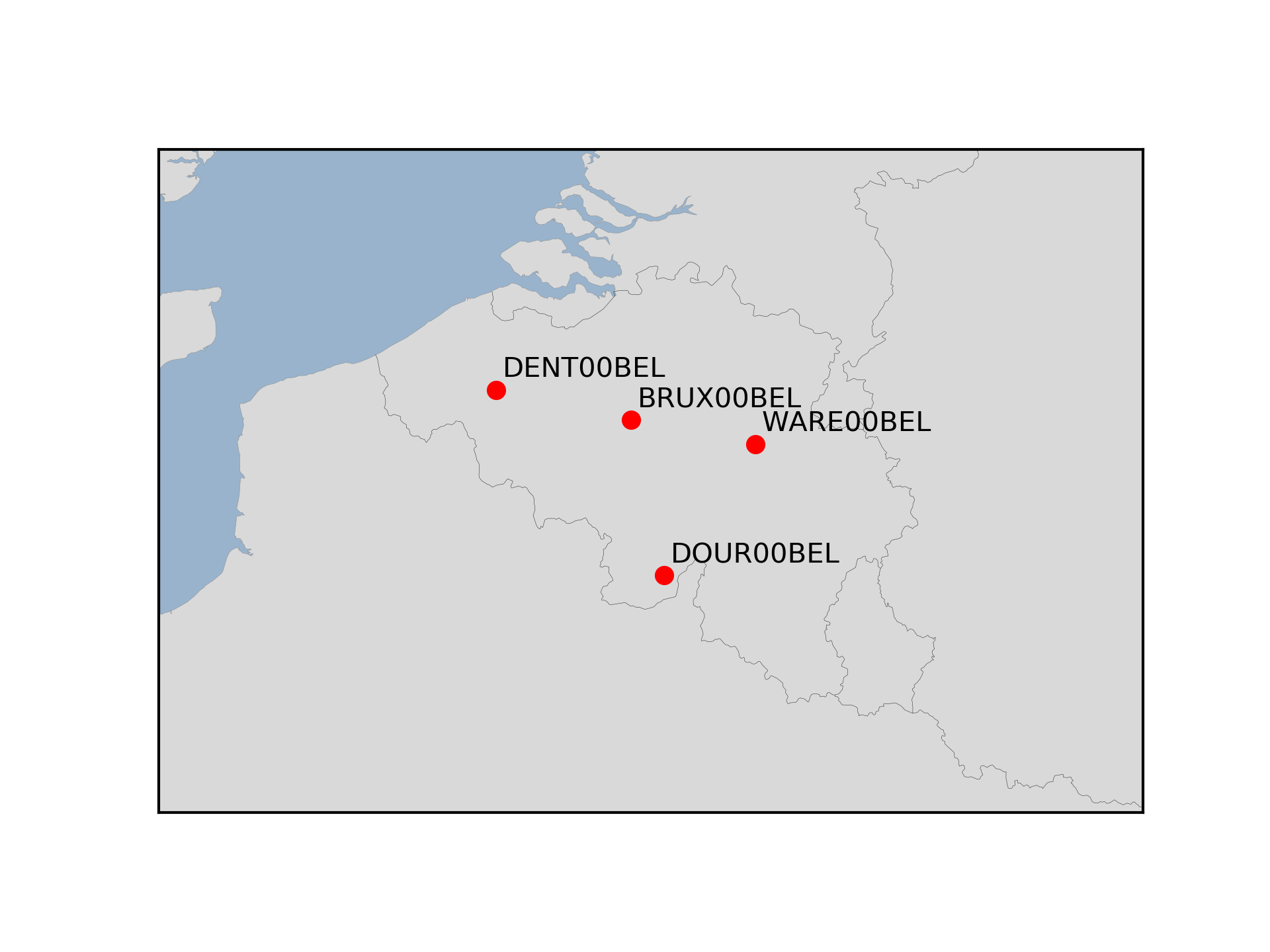
The Royal Observatory of Belgium maintains several continuously observing GNSS tracking stations in Belgium. The stations are also belonging to EUREF Permanent Network (EPN) used to maintain the ETRS89 and the observation data are available to the public through https://doi.org/10.24414/FST8-P256.
-
This dataset is part of the 2018 Belgian submission for the Marine Strategy Framework Directive (MSFD) linked to descriptor 5, criterion 1. This dataset contains the nutrient concentrations (ammonia, nitrate, nitrite, total nitrogen, phosphorus) measured on water samples taken in the BPNS between 2011 and 2016. The analysis of nutrients (N and P) is ensured by the national monitoring programme at ten sampling locations that are representative for the surrounding water masses. Based on all 2011-2016 results, the relationship with the salt content was calculated and, for each year, the value derived corresponding to a salt content of 33.5. The surface of the area where the nutrient concentrations exceed the respective thresholds was calculated on the basis of the relationship with the winter salt content and a climatology of the spatial distribution of the salt content (see annex D5 of the Belgian MSFD report). The resulting maps give a good overview of nutrient concentrations in the Belgian zone. In order to take into account the coastal-sea gradient and to illustrate the temporal trends in detail, the concentrations were also evaluated in three different areas of the BPNS: the coastal zone, the territorial zone and the open-sea zone. The long-term trends of nutrient concentrations in the three zones were assessed statistically.