 geo.be Metadata Catalog
Esri Shapefile
Type of resources
Available actions
Topics
INSPIRE themes
federalThemes
Keywords
Contact for the resource
Provided by
Years
Formats
Representation types
Update frequencies
status
Scale
-
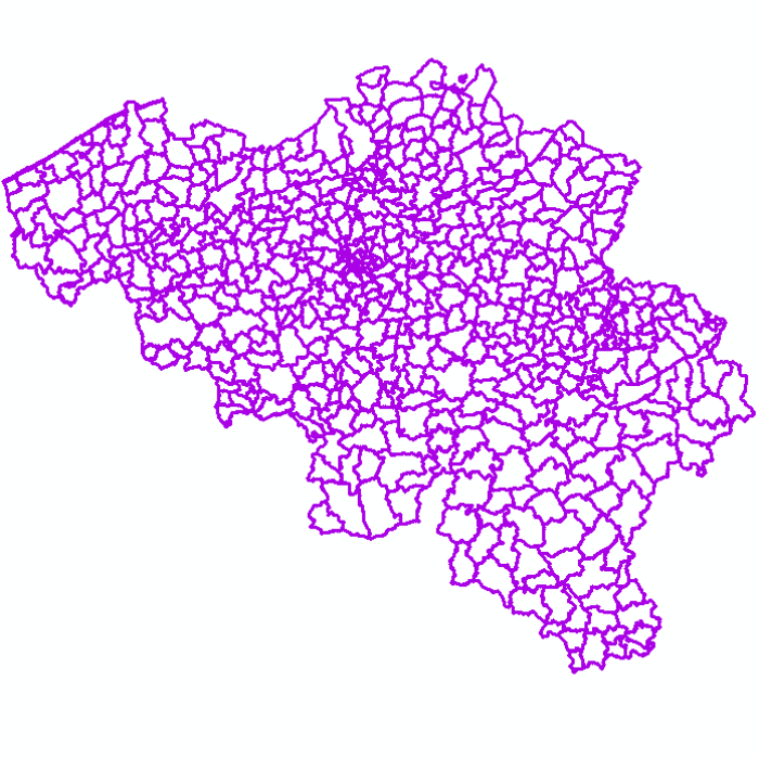
Administrative units corresponds to the dataset of administrative units from the reference database for the land register data. Administrative limits are legally defined by an administrative entity or between two administrative entities. In Belgium, administrative limits as legally defined are fixed and can only be changed by a law, ordinance or decree. The General Administration of Patrimonial Documentation of the FPS Finance is named by the federal authorities as the authentic source of Belgian administrative limits. This dataset corresponds to the legal situation as defined on January 1st of the reference year or to the situation at the specified date. It is composed of seven geometric classes (polygons and lines) and one class without geometry. The first class corresponds to the whole national territory. The second corresponds to the territory of the three regions, the third to the territory of the provinces, the fourth to the territory of the administrative districts, the fifth to the territory of the municipalities, the sixth to the territory of the Antwerp city districts and the seventh to the administrative boundaries in the form of lines. The class without geometry corresponds to the table of tax situations. The dataset can be freely downloaded as a zipped shapefiles.
-

The Copernicus Urban Atlas (UA) provides European, comparable and detailed land use and land cover maps for the main Functional Urban Areas (FUAs). The Urban Atlas Street Tree Layer (UA-STL) is a separate layer of the Urban Atlas 2012. It includes contiguous rows or patches of trees covering 500 m² or more with a minimum width of 10 m within the urban mask of the Urban Atlas 2012. Gaps between tree patches or within a larger patch that are less than 10m wide are included in the Street Tree Layer. There is no thematic content other than the presence or absence of trees. The UA-STL is a new product and no accuracy threshold was provided as part of the Urban Atlas specifications. The UA STL product validated currently covers just over 7% of the total UA2012 area.
-
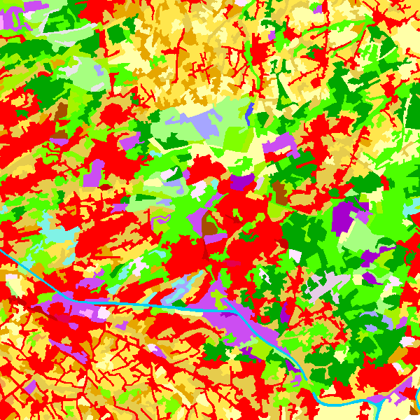
The data set contains a seamless polygonal layer representing the land cover in Belgium for the year 2006 and the year 2012. The polygons are spread over 32 classes from the CORINE Land Cover legend which are present un Belgium. The minimum map unit is 25 ha. The conceptual scale is 1:100 000. The data set also contains a polygon layer showing changes of more than 5 ha in the land cover between 2006 and 2012.
-
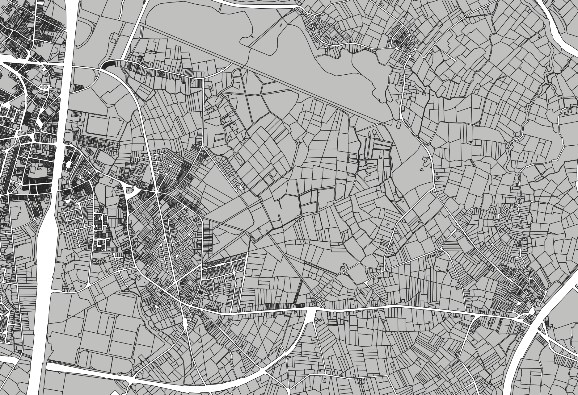
Cadastral parcels - monthly situation corresponds to the dataset of the monthly situation of the cadastral parcels layer from the Land Register plan. The dataset is composed of two classes. The first class contains the geometries of the cadastral parcels; the second is a class without geometry and corresponds to a code table of the different fiscal situations used in the first class. The dataset can be freely downloaded as a zipped shapefiles.
-
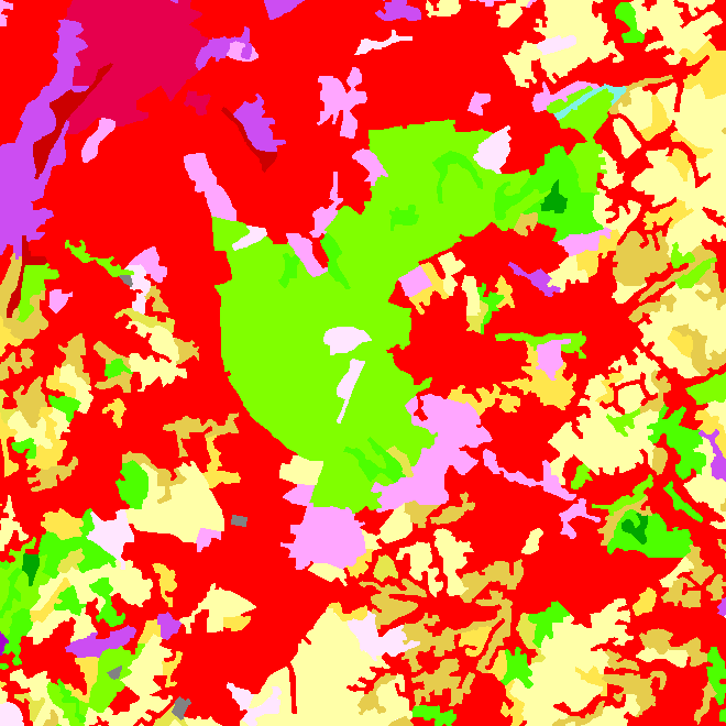
The data set contains a seamless polygonal layer representing the land cover in Belgium for the year 2012 and the year 2018. The polygons are spread over 32 classes from the CORINE Land Cover legend which are present un Belgium. The minimum map unit is 25 ha. The conceptual scale is 1:100 000. The data set also contains a polygon layer showing changes of more than 5 ha in the land cover between 2012 and 2018.
-
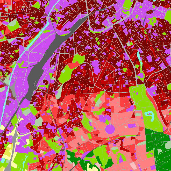
The European Urban Atlas provides reliable, inter-comparable, high-resolution land use and land cover data for 800 Functional Urban Area (FUA) for the 2012 reference year in EEA39 countries. This datasets contains the FUA for Belgium (Antwerpen, Brugge, Bruxelles_Brussel, Charleroi, Gent, Kortrijk, Leuven, Liege, Mons, Namur and Oostende).
-
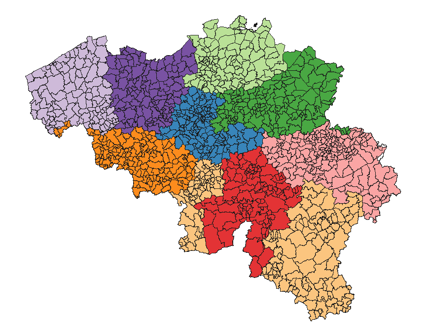
This dataset contains the latest version of the borders of the Belgian postal codes, including the "special" postal codes (0612, 1049, 6099,…).
-
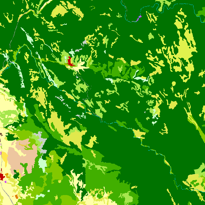
Natura 2000 (N2K) is a network of core breeding and resting sites for rare and threatened species, as well as for some rare natural habitat types which are protected in their own right. It stretches across all 28 EU countries, both on land and at sea. The aim of the network is to ensure the long-term survival of Europe's most valuable and threatened species and habitats that are listed under the Birds Directive and the Habitats Directive. This dataset contains the sites in Belgium.
-
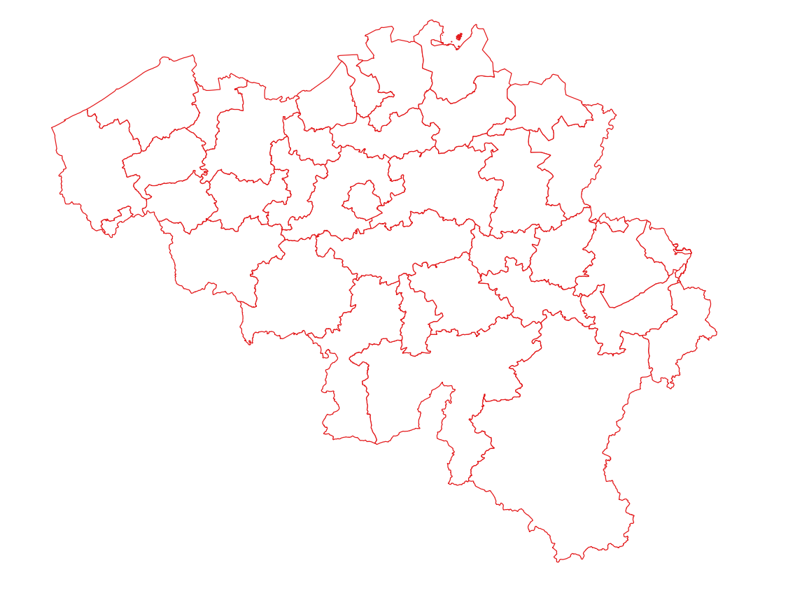
Emergency rescue zones corresponds to the dataset of the territorial delimitation of the emergency areas such as defined by the Royal Decree of February 2nd 2009 determining the territorial delimitation of the emergency areas in accordance with the law of May 15th 2007 on civil protection. This dataset is composed of two classes. The first class contains the identifiers, names and geometries of the various areas; the second is a class without geometry and corresponds to the table of Belgian municipalities with the emergency area for each of them. The dataset can be freely downloaded as a zipped shapefiles.
-
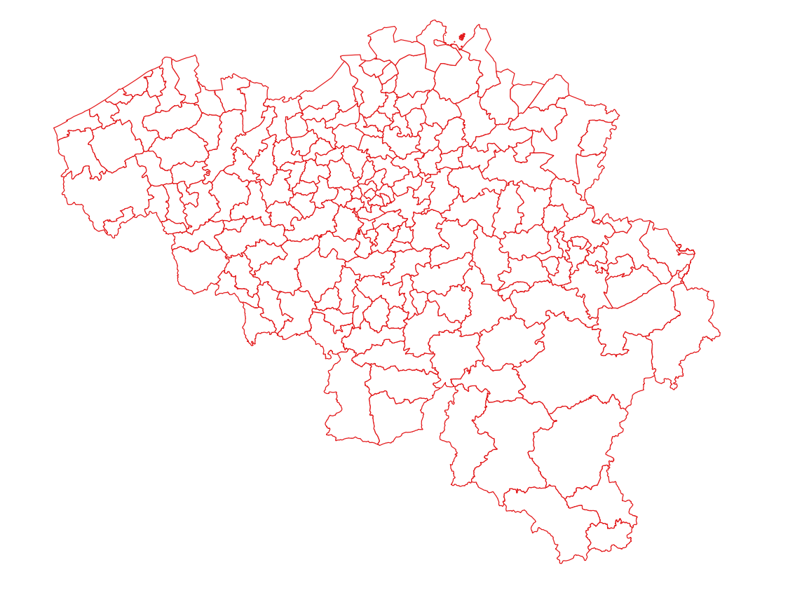
Police zones corresponds to the dataset of the territorial delimitation of the police areas such as defined by the Royal Decrees of April 28th 2000 in accordance with the law of December 7th 1998 organising an integrated police service. This dataset is composed of two classes. The first class contains the identifiers, names and geometries of the various areas; the second is a class without geometry and corresponds to the table of Belgian municipalities with the police area for each of them. The dataset can be freely downloaded as a zipped shapefiles.