Oceanographic geographical features
Type of resources
Available actions
Topics
INSPIRE themes
Keywords
Contact for the resource
Provided by
Years
Formats
Representation types
Service types
-

INSPIRE compliant download service (ATOM) for geographic information of the Marine Spatial Plan made available by the Royal Belgian Institute for Natural Sciences (RBINS).
-

INSPIRE compliant view service for geographic information of marine datasets made available by the Royal Belgian Institute for Natural Sciences (RBINS) in the IDOD (Integrated and Dynamical Oceanographic Database) database.
-

INSPIRE compliant view service for geographic information of the datasets of the Marine Strategic Framework Directive made available by the Royal Belgian Institute for Natural Sciences (RBINS).
-

INSPIRE compliant download service (WFS) for geographic information of the datasets of the Marine Strategic Framework Directive made available by the Royal Belgian Institute for Natural Sciences (RBINS).
-

INSPIRE compliant download service (ATOM) for geographic information of the datasets of the Marine Strategic Framework Directive made available by the Royal Belgian Institute for Natural Sciences (RBINS).
-
This datasets is a summary of the CTD profiles measured with the RV Belgica. It provides general meta-information such as the campaign code, the date of measurement and the geographical information. An important information is the profile quality flag that describes the validity of the data. A quality flag = 2 means the data is generally good although some outliers can still be present. A quality flag = 4 means the data should not be trusted. 1 meter binned data can be download on the SeaDataNet CDI portal (enter the cruise_id in the search bar) ONLY for the good quality profiles. Full acquisition frequency datasets are available on request to BMDC.
-

INSPIRE compliant download service for geographic information of marine datasets made available by the Royal Belgian Institute for Natural Sciences (RBINS) in the IDOD (Integrated and Dynamical Oceanographic Database) database.
-

This dataset is part of the 2018 Belgian submission for the Marine Strategy Framework Directive (MSFD) linked to descriptor 1, criterion 2. The Raja clavata dataset describes the results of the Offshore Beam Trawl Surveys (BTS) in the Belgian part of the North Sea (BPNS) between 2010 and 2017. Occurrences of Raja Clavata, along with dates and locations, are reported. The codes used in the attached file are based on the ICES DATRAS (Database of Trawl Surveys) standard. The seabirds dataset describes the density of seabirds (N birds/km) observed in the BPNS between 1987 and 2016 (three surveys a year).
-

This dataset is part of the 2018 Belgian submission for the Marine Strategy Framework Directive (MSFD) linked to descriptor 1, criterion 1. Stranded porpoises often show traces of incidental catch in fishing nets (bycatch), a major cause of death for this cetacean in the North Sea. Based on the number of stranded animals showing traces of bycatch, it can be estimated that up to a few dozen porpoises are caught per year. For extrapolation of bycatch data to effects at population level, reference is made to (future) initiatives at regional level.
-

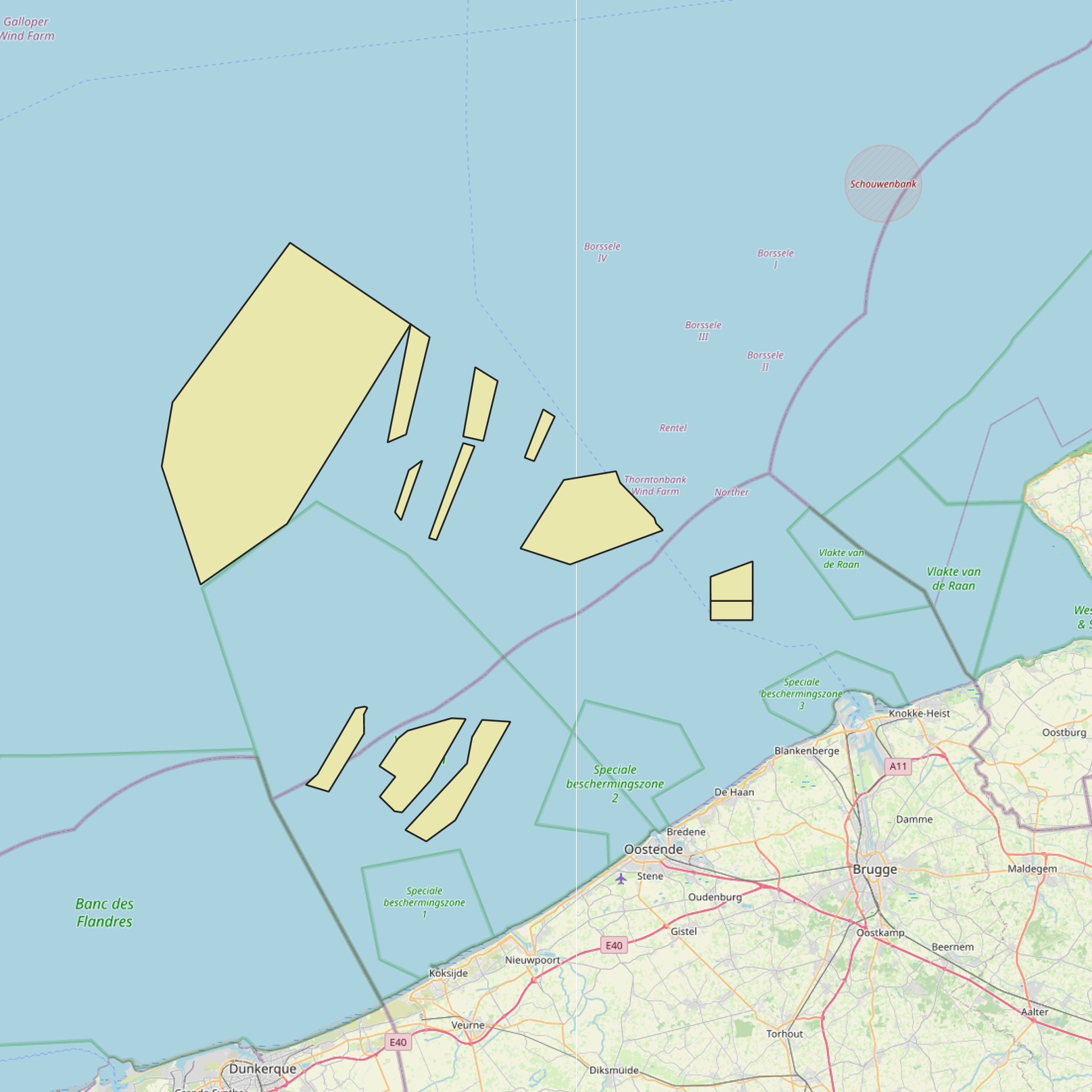
This dataset is part of the 2018 Belgian submission for the Marine Strategy Framework Directive (MSFD) linked to descriptor 7, criterion 1. This dataset describes the impact of an offshore windmills farm on the hydrodynamics in the Belgian part of the North Sea (BPNS). Originally, it is a NetCDF file with the results of the reference simulation made with the COHERENS (COupled Hydrodynamical Ecological model for REgioNal Shelf seas) hydrodynamic model only forced by tides (no wind effect). Model resolution : ~ 12.5m. It contains both the reference situation which is a simulation without any windmill and the modeling result of the influence by the windmills on the hydrodynamic in the BPNS. The dataset contains the results on the most inner nested grid level for one reference spring-neap cycle: - hourly sea surface elevation - hourly bottom shear stress - hourly 3D horizontal velocity components (u,v) - hourly 3D eddy viscosity - time-averaged bottom shear stress over the reference spring-neap cycle - percentile 90 of the bottom shear stress for the reference spring-neap cycle - percentile 90 of the specific kinetic energy at the sea bed - accumulated time during which sedimentation processes are dominant - accumulated time during which re-suspension processes are dominant.
 geo.be Metadata Catalog