 geo.be Metadata Catalog
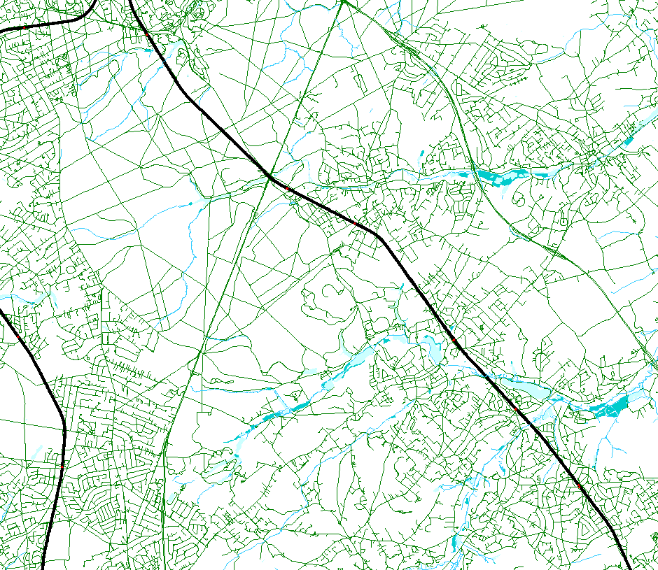
hydrographic network
Type of resources
Available actions
Topics
INSPIRE themes
federalThemes
Keywords
Contact for the resource
Provided by
Years
Formats
Representation types
Update frequencies
status
Service types
Scale
-
This web service allows viewing the NGI data which comply with the INSPIRE specifications. It gives an overview of the INSPIRE data which are for sale.
-

s'Top10Vector – Hydrography' is the dataset of the Belgian hydrography. This dataset comprises 6 feature types. The basis of the hydrographic network is formed by watercourse segments [HY_watercoursesegment]. The surface of larger watercourses is represented by watercourse surfaces [HY_watercoursesurface]. Water surfaces [HY_watersurface] and wetlands [HY_wetland] are also included in the dataset. Water points [HY_waterpoint] are point features where water reaches the land surface naturally or disappears into the subsoil. Another type of point feature is the kilometre marker [HY_waterwaykilometremarker]. The dataset can be downloaded via the links in 'Access' at the bottom of this page.
-

The entities included in dataset represent the Belgian waterway transport network in the sense of the Inspire European directive. The dataset comprises several classes and is in accordance with the INSPIRE specifications. The class represents, in a linear manner, all of the waterway links between each pair of dots for the network considered. In addition to this is one class without geometry. The RestrictionForWaterCehicles class specifies for each segment the maximum tonnage of the building using the segment.
-

Top10Vector is a product containing topographical vector data covering the whole of Belgium. It consists of 35 feature types grouped into 8 different topics: ‘Constructions, ‘Particular zones, ‘Land cover and vegetation, ‘High-tension network, ‘Hydrography’, ‘Local relief’, ‘Railway network’ and ‘Road network’. The product can be downloaded in its entirety via the links in 'Access' at the bottom of this page. Each of the topics is also available as a separate dataset on their own webpage.
-
This webservice allows the Top10Vector product, containing topographical vector data covering the whole of Belgium, to be visualised. The product consists of 35 feature types grouped into 8 different topics: ‘Constructions, ‘Particular zones, ‘Land cover and vegetation, ‘High-tension network, ‘Hydrography’, ‘Local relief’, ‘Railway network’ and ‘Road network’. The link to the webservice is available under 'Access' at the bottom of this page.