National Geographic Institute
Type of resources
Available actions
Topics
INSPIRE themes
federalThemes
Keywords
Contact for the resource
Provided by
Years
Formats
Representation types
Update frequencies
status
Service types
Scale
Resolution
-
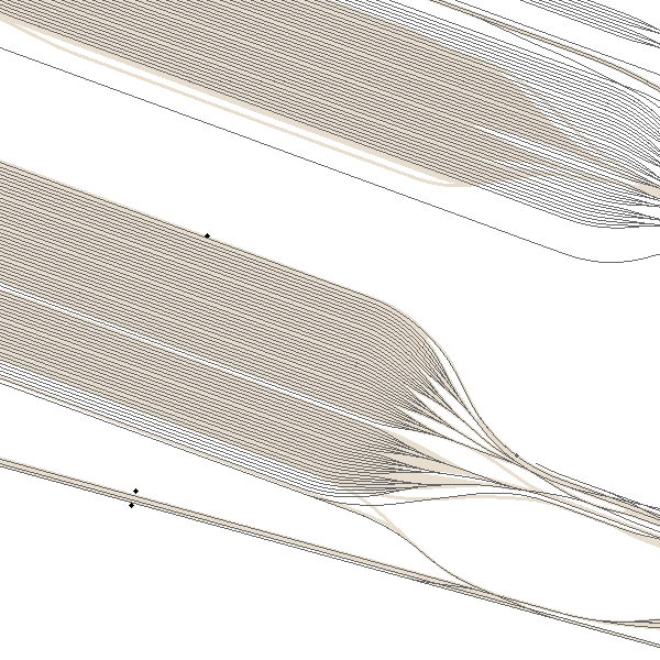
Top10Vector – Rail network is the data set of the railway network in Belgium. This data set includes three classes. First class: rail network kilometre markers. Second class: railway stop. Third class: railway track segments. This data set can be bought via the corresponding hyperlink.
-

This dataset corresponds to the dataset of address points on the Belgian territory. The result is obtained by merging the three regions on the basis of XML files which has been supplied to BOSA for the cooperation agreement BeStAddress. The dataset is freely downloadable.
-
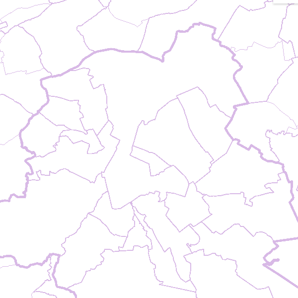
This web service allows viewing the territorial divisions that represent fully recognised Belgian geographical units. The AdminVector dataset encompasses the statistical sectors defined by the FPS Economy, the administrative units maintained by the FPS Finance and their centres, as well as the boundary stones. The datasets of the judicial cantons and judicial districts are built on the basis of their definition in the Judicial Code. The dataset of electoral cantons is built on the basis of its definition in the Electoral Code. The postal cantons dataset is based on the boundaries of the Belgian postal codes managed by bpost.
-
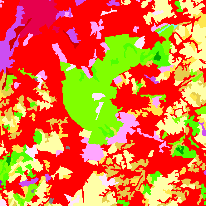
This web service allows viewing datasets from CORINE Land Cover-2018-Belgium.
-

This is the discovery service for the metadata which are made available by the Belgian federal government. It only contains the resources which have been declared for the INSPIRE reporting, i.e. the resources which contain the keyword “reporting INSPIRE”.
-
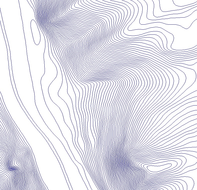
The contour lines are the set of lines connecting all points at the same elevation in a model used to represent the relief on a large scale.
-
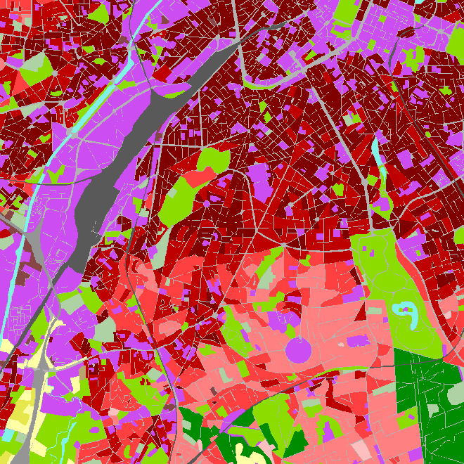
CORINE Local Components is an INSPIRE compliant WMS service showing 4 "Local component products" covering the Belgian territory within the framework of a Pan-European coverage. The 4 layers cover 4 different products: Urban Atlas 2012, Urban Atlas 2012 Street Tree Layer, Riparian Zones and Natura2000.
-
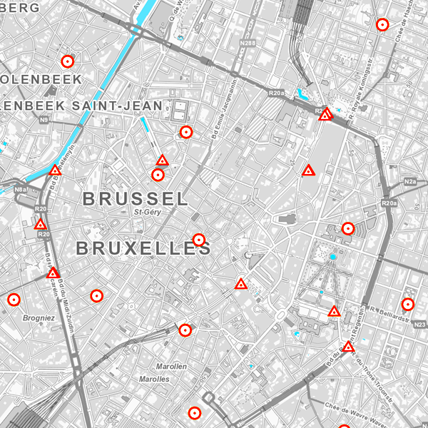
Network of marks whose planimetric coordinates are known with precision according to the reference systems which are used in Belgium.
-

The Copernicus Urban Atlas (UA) provides European, comparable and detailed land use and land cover maps for the main Functional Urban Areas (FUAs). The Urban Atlas Street Tree Layer (UA-STL) is a separate layer of the Urban Atlas 2012. It includes contiguous rows or patches of trees covering 500 m² or more with a minimum width of 10 m within the urban mask of the Urban Atlas 2012. Gaps between tree patches or within a larger patch that are less than 10m wide are included in the Street Tree Layer. There is no thematic content other than the presence or absence of trees. The UA-STL is a new product and no accuracy threshold was provided as part of the Urban Atlas specifications. The UA STL product validated currently covers just over 7% of the total UA2012 area.
-
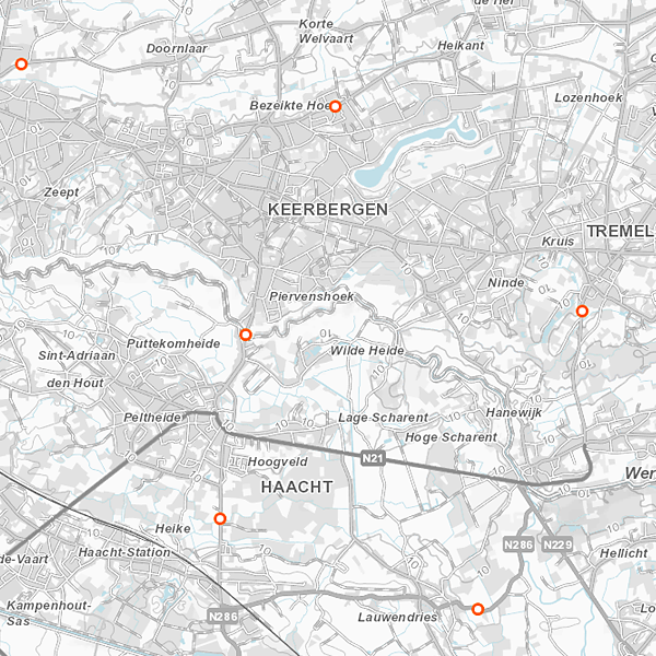
Geodetic markers of which the 3D coordinates are precisely known in common Belgian reference systems.
 geo.be Metadata Catalog