 geo.be Metadata Catalog
2026
Type of resources
Available actions
Topics
INSPIRE themes
federalThemes
Keywords
Contact for the resource
Provided by
Years
Formats
Representation types
Update frequencies
status
Service types
Scale
Resolution
-
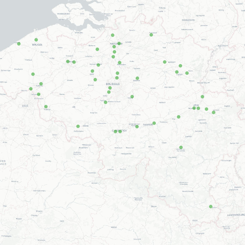
The national wastewater-based epidemiological surveillance of psychoactive substances monitors the presence of various psychoactive substances in several wastewater treatment plants across Belgium. This dataset contains the results per treatment plant since the beginning of the surveillance in 2025. The results consist of the psychoactive substances concentrations over time as well as other data needed for the interpretations such as the flow rates of the treatment plants and the population covered.
-
UNDER EMBARGO - This dataset contains the data on porewater nutrients, sediment granulometry, and pigment concentrations that were collected in the C-power offshore wind farm in spring, summer, and autumn of 2022 for the OUTFLOW project. Data were gathered at increasing distances from the scour protection layer (SPL) of a wind turbine, 7, 15, 25, and 75 m away from the edge. Cores were collected by divers, and a boxcore was used for samples 75 m away. From these cores, porewater nutrients were collected with rhizon samplers, and cores were slices in 0.5 to 2 cm slices, and each slice was analyzed for total organic carbon, total nitrogen, granulometry, and algal pigment concentrations.
-
The Royal Decree of 20 March 2026 establishing the marine spatial plan for the period 2026 to 2034 in the Belgian marine areas defines 13 dredging zones: Dredge spoil disposal zone S1 (Art. 15§1.1°), Dredge spoil disposal zone S2 (Art. 15§1.2°), Dredge spoil disposal zone "Public Works Ostend" (Art. 15§1.3°), Dredge spoil disposal zone "Public Works Zeebrugge East" (Art. 15§1.4°), Dredge spoil disposal zone "Public Works Zeebrugge West" (Art. 15§1.5°), Dredge spoil disposal site "Public Works Nieuwpoort" (Art. 15§1.6°), Dredge spoil disposal zone "Zeebrugge Erosion Pit" (Art. 15§1.7°), Zone 1 for future replacement of dredge spoil zone S1 (Art. 15§4.1°), Zone 2 for future replacement of dredge spoil zone S1 (Art. 15§4.2°), Search zone 1 for future replacement of Zeebrugge East and West (Art. 15§6), Search zone 2 for future replacement of Zeebrugge East and West (Art. 15§6), Search zone 3 for future replacement of Zeebrugge East and West (Art. 15§6), Dredge spoil disposal zone for future replacement "Public Works Nieuwpoort" (Art. 15§8). It replaces the 2020 Marine Spatial Plan. Please refer to the Belgian official gazette ("Moniteur belgeBelgisch Staatsblad") for official reference information.
-

This web service allows viewing the dataset BeStAddress.
-
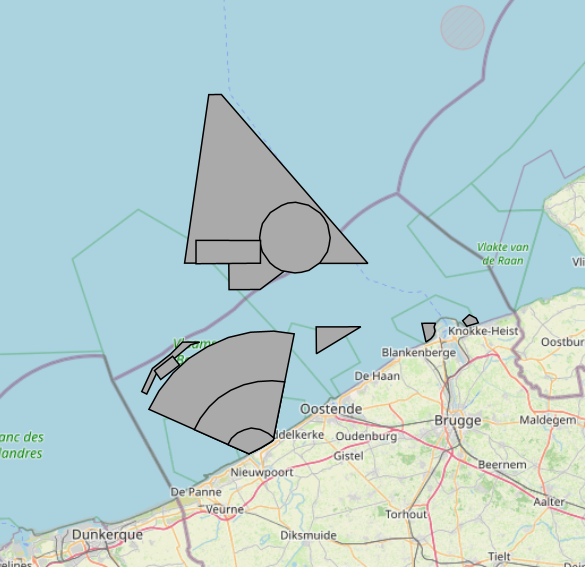
The Royal Decree of 20 March 2026 establishing the marine spatial plan for the period 2026 to 2034 in the Belgian marine areas defines 1 coastal protection experiments zone: Coastal protection belt (Art. 20§2). It replaces the 2020 Marine Spatial Plan. Please refer to the Belgian official gazette ("Moniteur belgeBelgisch Staatsblad") for official reference information.
-
UNDER EMBARGO - This dataset originates from the BE/2023 sampling campaign conducted in southwest Greenland fjords (Igaliku and Tunulliarfik) and quantifies grazing impacts by micro- and mesozooplankton on phytoplankton and heterotrophic microbial communities (including bacteria) in two fjord systems characterized by contrasting glacial regimes. Grazing and microbial growth rates were estimated using two-point dilution experiments (two-point dilution experiments), alongside experiments assessing mesozooplankton and copepod grazing on both phytoplankton and microzooplankton. Community responses were resolved using imaging flow cytometry, enabling the identification of plankton functional groups (autotrophic, mixotrophic, and heterotrophic) and size classes. The dataset also includes measurements of chlorophyll a variability determined by high-performance liquid chromatography. Overall, the dataset supports analyses of trophic interactions and grazing dynamics across the microbial food web under differing glacier-influenced environmental conditions.
-

‘Top10Vector – High-voltage network’ is the vector dataset for the Belgian high-tension grid. The dataset consists of 2 feature types: high-voltage line segments [HT_hightensionlinesegment] and high-voltage pylons [HT_powerpylon]. The dataset can be downloaded via the links in 'Access' at the bottom of this page.
-
UNDER EMBARGO - This dataset contains marine organic matter source samples, artificial mixtures of known composition, and compound-specific nitrogen stable isotope data of amino acids (δ¹⁵N-AA). Source materials include phytoplankton, zooplankton, and faecal pellets from the marine fouling species Mytilus edulis and Metridium senile.Samples were collected and processed in the laboratory under controlled conditions. Artificial mixtures were prepared by combining source materials in defined proportions to generate experimental samples representing multiple marine organic matter source combinations. Metadata describing sample collection, preparation, and mixture composition are included.Compound-specific nitrogen isotope ratios of individual amino acids were measured using stable isotope analysis. The dataset includes isotopic measurements for all source samples and artificial mixtures, along with associated metadata required to document sampling, laboratory preparation, and analytical procedures.
-
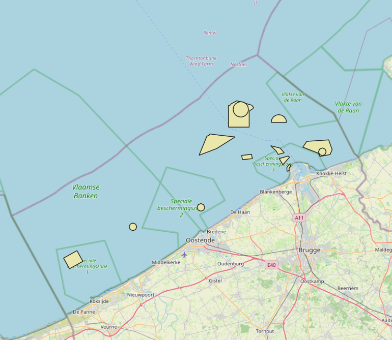
The Royal Decree of 20 March 2026 establishing the marine spatial plan for the period 2026 to 2034 in the Belgian marine areas defines 5 fishery management zones: Zone with prohibition of active bottom-disturbing commercial fishing (Art. 10§2), Zone with prohibition of bottom-disturbing commercial fishing (Art. 10§2), Fisheries research zone (Art. 17§2), Zone accessible to aquaculture and passive fisheries (Art. 18), Zone with prohibition of bottom-disturbing recreational fishing (Art. 24§2). It replaces the 2020 Marine Spatial Plan. Please refer to the Belgian official gazette ("Moniteur belgeBelgisch Staatsblad") for official reference information.
-
The Royal Decree of 20 March 2026 establishing the marine spatial plan for the period 2026 to 2034 in the Belgian marine areas defines 13 military use zones: Mine warfare exercise zone – QZR 040 (Art. 21§1.1°), Mine warfare exercise zone – NBH-10 (Wenduine) (Art. 21§1.2°), Mine warfare exercise zone – NB-01 (Westhinder) (Art. 21§1.3°), Mine warfare exercise zone (Buiten Ratel) (Art. 21§1.4°), Belgisch Nationaal Oefengebied voor Marineschepen (BNOM) (Art. 21§1.5°), Shallow Water Zone (Art. 21§1.6°), Zone for detonation exercises and operations (Art. 21§2), Lombardsijde firing sector: small sector (Art. 21§3.1°), Lombardsijde firing sector: middle sector (Art. 21§3.2°), Lombardsijde firing sector: large sector (Art. 21§3.3°), Paardenmarkt munitions disposal site (Art. 22§1). It replaces the 2020 Marine Spatial Plan. Please refer to the Belgian official gazette ("Moniteur belgeBelgisch Staatsblad") for official reference information.