Oceans
Type of resources
Topics
INSPIRE themes
Keywords
Contact for the resource
Provided by
Years
Formats
Representation types
-
Beach Litter count data collected across 10 beaches of the Belgian coast in 2023 and 2024 by volunteers of the citizen science association Proper Strand Lopers. One of the key indicators of abundance, composition and trends of litter in the marine environment is the amount on beaches. OSPAR monitors litter on 100m stretches at over 70 beaches in the North-East Atlantic following common monitoring guidelines. The monitoring records litter in 112 predefined litter items in 11 types: Plastic / polystyrene, Metal, Paper and cardboard, Wood, Sanitary waste, Cloth, Rubber, Glass, Pottery/ceramics, Medical waste and Faeces.
-
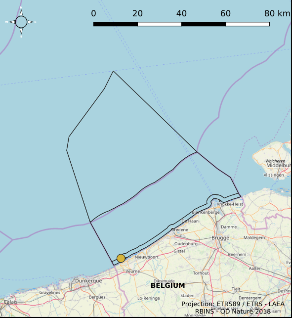
This dataset represents the location of the Princess Elizabeth zone in the Belgian Part of the North Sea as described in the Royal Decree of May 22th, 2019, establishing a marine spatial plan for the period 2020-2026. Art. 8. § 3.
-
This dataset represents main data about the cores of Belgian boreholes that are stored by the Royal Belgian Institute of Natural Sciences. Data is distributed as shapefile with multiple meta-infomations such as unique borehole reference, depth, location, lithology and a link to access the core and lithological descriptions.
-

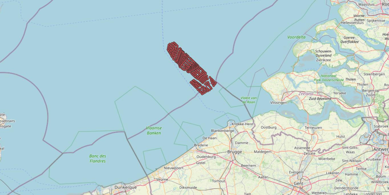
This dataset represents the exact location of the wind turbines in the Belgian Part of the North Sea.
-

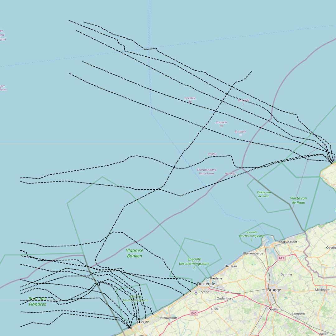
This dataset represents the exact location of disused telecommunication cables installed in the Belgian Part of the North Sea.
-

This dataset is part of the 2018 Belgian submission for the Marine Strategy Framework Directive (MSFD) linked to descriptor 4, criterion 2. Three distinct datasets are published for this criterion.'Occurrence of breeding seabirds' describes the observation of eight seabird species (Common tern, Black-headed Gull, Herring Gull, Common Gull, Small Black-backed Gull, Yellow-legged gull, Big Stern and Little Stern) on the Belgian coast between 1992 and 2015. 'Density of seabirds' describes the density of seabirds (N birds/km) observed at large in the Belgian part of the North Sea between 1987 and 2016 (three surveys a year). Thirteen species are monitored and the evolution of each species density is shown as diagrams.'Occurrence of important benthic species' describes the results of Van Veen sampling campaigns performed between 2009 and 2014 in the Belgian part of the North Sea. Benthic species are counted and identified (e.g. Annelida, Echinodermata,..).
-

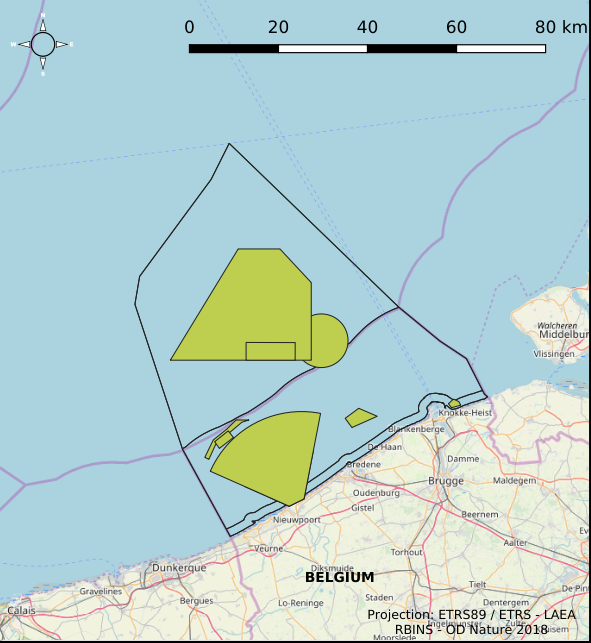
The Royal Decree of 22 May 2019 establishing a marine spatial plan defines 1 coastal protection experiments zone: Zone for coastal protection experiments (Art. 16§2). It replaces the 2014 Marine Spatial Plan, which is included for completeness. The Royal Decree of 20 March 2014 establishing a marine spatial plan defines in its Art. 12. §1 one zone for coastal protection experiments. This zone is made available digitally in the resource described by this metadata document. Please refer to the Belgian official gazette (\"Moniteur belge/Belgisch Staatsblad\") for official reference information.
-

The Royal Decree of 22 May 2019 establishing a marine spatial plan defines 11 military use and storage sites for war munition zones: Exercise area for sweeping mines (Buiten Ratel) (Art. 17§1), Exercise area for sweeping mines - NB-01 (Westhinder) (Art. 17§1), Exercise area for sweeping mines - NBH-10 (Wenduine) (Art. 17§1), Exercise area for sweeping mines - QZR 040 (Art. 17§1), Munition destruction area (Art. 17§2), Area for shooting exercises on floating objects (Art. 17§3), Area for exercises in shallow waters (Art. 17§4), Area for shooting exercises from land - big sector (Art. 17§5), Area for shooting exercises from land - medium sector (Art. 17§5), Area for shooting exercises from land - small sector (Art. 17§5), Storage site for war munition Paardenmarkt (Art. 18§1). It replaces the 2014 Marine Spatial Plan, which is included for completeness. The Royal Decree of 20 March 2014 establishing a marine spatial plan defines in its Art. 13. and Art. 14., resp. nine zones for military use and one storage site for war munition: three zones for shooting exercises from land direction sea (Art 13. § 1 small sector, Art 13. § 1 medium sector, Art 13. § 1 large sector), four exercise areas for sweeping mines (Art 13. § 3, Exercise area 1 for sweeping mines, Art 13. § 5, Exercise area 2 for sweeping mines, Art 13. § 9, Exercise area 3 for sweeping mines, Art 13. § 13, Exercise area 4 for sweeping mines), one area for shooting exercises on floating objects (Art 13. § 7), one area for defusing mines (Art 13. § 11) and one zone to safeguard the closed storage site for war munition \"Paardenmarkt\" (Art. 14. § 1). These zones are made available digitally in the resource described by this metadata document. Please refer to the Belgian official gazette (\"Moniteur belge/Belgisch Staatsblad\") for official reference information.
-

This dataset is part of the 2018 Belgian submission for the Marine Strategy Framework Directive (MSFD) linked to descriptor 8, criterion 3. This dataset gives an overview of the observed slicks during aerial survey operations of the Belgian part of the North Sea (2011-2016). Related to significant acute pollution, it includes the observations linked to the Flinterstar incident in 2015. Besides this, all observations of illegal discharges of MARPOL (International Convention for the Prevention of Pollution from Ships) annex I and II substances are included as an additional dataset.
-

This dataset is part of the 2018 Belgian submission for the Marine Strategy Framework Directive (MSFD) linked to descriptor 2, criterion 1. This dataset lists the newly-introduced species encountered on buoys and in epibenthic and Van Veen grab samples taken in the Belgian part of the North Sea (BPNS) between 2011 and 2016.
 geo.be Metadata Catalog