 geo.be Metadata Catalog
Planning cadastre
Type of resources
Available actions
Topics
INSPIRE themes
federalThemes
Keywords
Contact for the resource
Provided by
Years
Formats
Representation types
Update frequencies
status
Scale
-

Cadastral Parcels - INSPIRE corresponds to the dataset of Belgian plan cadastral parcels complying with INSPIRE specifications. This dataset is composed of two classes. The first class contains cadastral zoning and the second class contains cadastral parcel. The entire dataset can be downloaded via the ad hoc WFS.
-

Cadastral parcels - monthly situation corresponds to the dataset of the monthly situation of the cadastral parcels layer from the Land Register plan. The dataset is composed of two classes. The first class contains the geometries of the cadastral parcels; the second is a class without geometry and corresponds to a code table of the different fiscal situations used in the first class. The dataset can be freely downloaded as a zipped shapefiles.
-
Characteristics of cadastral parcels - Concentration of cadastral income corresponds to the dataset measuring the concentration of cadastral income for parcels of a housing-like nature. This dataset is composed of seven classes. The first class shows, at the national level, for each category of parcels dedicated to housing, the number of parcels and the total cadastral income of the parcels by cadastral income bracket. The second class includes this information at the level of the three regions. The following classes do the same at the level of provinces, arrondissements, municipalities, cadastral divisions and statistical sectors. The dataset can be freely downloaded as a zipped CSV.
-
Foreign real estate - Property characteristics corresponds to the dataset of foreign real estate held by belgian taxpayers as declared to the FPS Finance (only the holders of rights allowing the enjoyment of the property are taken into account). This dataset consists of one class. This class includes, for each foreign country or territory, the number of properties in each category, the total cadastral income of these properties, the median cadastral income of each category, as well as the 25 and 75 percentiles of the cadastral income of each category.
-

Administrative units - current situation corresponds to the dataset of administrative units from the reference database for the land register data. Administrative limits are legally defined by an administrative entity or between two administrative entities. In Belgium, administrative limits as legally defined are fixed and can only be changed by a law, ordinance or decree. The General Administration of Patrimonial Documentation of the FPS Finance is named by the federal authorities as the authentic source of Belgian administrative limits. This dataset corresponds to the current situation at the time of consultation. It is composed of five geometric classes. The first class corresponds to the whole national territory. The second corresponds to the territory of the three regions, the third to the territory of the provinces, the fourth to the territory of the administrative districts, the fifth to the territory of the municipalities. The dataset is freely downloadable via the ad hoc WFS service.
-

Characteristics of the cadastral parcels - Exemption from withholding tax on immovable property corresponds to the dataset describing the parcels exempted from withholding tax on immovable property. The first class shows, at the national level, the number of parcels per exemption category, the total amount of cadastral income of these parcels, their surface area as well as the median cadastral income of each category. The second class includes this information at the level of the three regions. The following classes do the same at the level of provinces, arrondissements, municipalities, cadastral divisions and statistical sectors. The dataset can be freely downloaded as a zipped CSV.
-
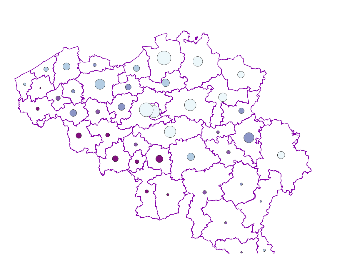
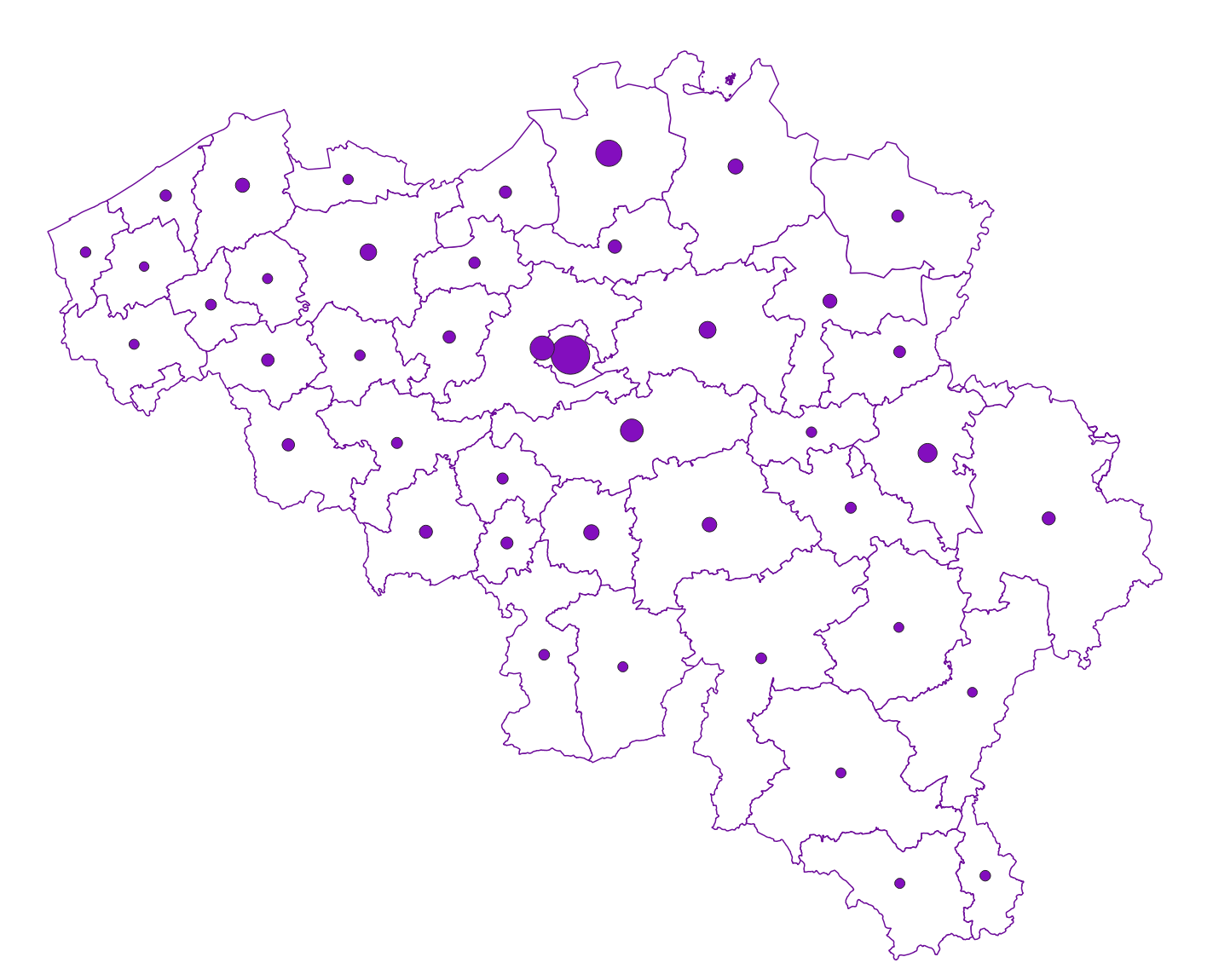
Mapping plan parcel - statistical sector corresponds to the dataset associating a plan parcel such as defined in article 2 of the Royal Decree of July 30th 2018 with the statistical sector including it. This dataset is composed of a single class mentioning the identifier of the plan parcels as well as the identifier of the statistical sectors. The dataset can be freely downloaded as a zipped CSV.
-

Land register plan - current situation corresponds to the dataset of land register from the reference database for the land register data CadGIS. The land register plan is one of the elements that make up the patrimonial documentation. It is defined as “the graphic representation and assembling on a plan of all the cadastral plan parcels of the Belgian territory”. A plan parcel, such as defined in Article 2 of the Royal Decree of 30 July 2018, is a part of Belgian territory, geographically delimited and identified by the General Administration of Patrimonial Documentation on the land register plan, which corresponds to the ground surface area of one or more patrimonial cadastral parcel(s) (real estate property as mentioned in Article 472 of the 1992 Income Tax Code in respect of which the cadastral income is fixed). This dataset corresponds to the current situation at the time of consultation. It is composed of fourteen geometric layers. The first five are the administrative units, namely the country, the regions, the provinces, the districts and the municipalities. The sixth and seventh layers correspond to the cadastral units, divisions and sections. the eighth layer includes the cadastral blocks, the ninth, the property stones, the tenth, the addresses, the eleventh, the polders and wateringues, the twelfth, the cadastral plan parcels, the thirteenth the buildings managed by the AGDP, and the fourteenth, buildings managed by the regions. The dataset is freely downloadable via the ad hoc WFS.
-
Foreign real estate - Owners' profile corresponds to the dataset describing the profile of Belgian taxpayers (natural persons) holding real estate abroad. This dataset is composed of five classes. The first shows, at national level, by age and sex category, the number of individuals holding a real right that allows enjoyment over foreign property, the total number of foreign properties held by these individuals, and the number of properties by foreign country or territory. The number of properties takes into account the shares actually held. The second class presents this information at the level of the three regions. The following classes do the same for provinces, arrondissements and communes. The dataset is freely downloadable as zipped CSV files.
-

Real estate leases - annual version corresponds to the dataset describing leases on real estate items as recorded for registration purposes by the FPS Finance. This dataset is composed of five classes. The first class shows, at the national level, for each type of lease, the number of leases registered, the nature of the parties concerned by the contract and the median rent of the properties concerned. The second class includes this information at the level of the three regions. The following classes do the same at the level of provinces, arrondissements, municipalities. The dataset can be freely downloaded as a zipped CSV.