 geo.be Metadata Catalog
Belgian part of the North Sea
Type of resources
Topics
INSPIRE themes
Keywords
Contact for the resource
Provided by
Years
Formats
Representation types
-
2019 Belgian MSP - Princess Elizabeth Zone for renewable Energy in the Belgian Part of the North Sea
This dataset represents the location of the Princess Elizabeth zone in the Belgian Part of the North Sea as described in the Royal Decree of May 22th, 2019, establishing a marine spatial plan for the period 2020-2026. Art. 8. § 3.
-

This dataset is part of the 2024 Belgian submission for the Marine Strategy Framework Directive (MSFD) linked to descriptor 7, criterion 1. This dataset describes the zones that are subject to noticeable permanent alteration of the hydrographic conditions due to human activities and man-made infrastructures for the time period 1992-2022. The data format is shapefiles and includes the zone area (m²) as attribute.
-
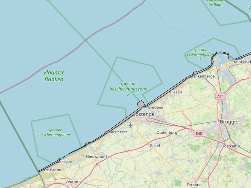
The Royal Decree of 20 March 2026 establishing the marine spatial plan for the period 2026 to 2034 in the Belgian marine areas defines 1 coastal protection experiments zone: Coastal protection belt (Art. 20§2). It replaces the 2020 Marine Spatial Plan. Please refer to the Belgian official gazette ("Moniteur belgeBelgisch Staatsblad") for official reference information.
-
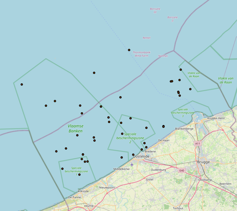
The Royal Decree of 20 March 2026 establishing the marine spatial plan for the period 2026 to 2034 in the Belgian marine areas defines 1 cultural heritage (wrecks) zones: Protected shipwrecks (Art. 26§1). It replaces the 2020 Marine Spatial Plan. Please refer to the Belgian official gazette ("Moniteur belgeBelgisch Staatsblad") for official reference information.
-
This dataset is part of the 2024 Belgian submission for the Marine Strategy Framework Directive (MSFD) linked to descriptor 8, criterion 4. This dataset reports the proportion of oiled Common Guillemots (Uria aalge) among stranded seabirds along the Belgian coast, as an indicator of acute oil pollution (environmental target: average proportion of oiled guillemots below 10% of the total found dead or dying on the beaches).
-
This dataset is part of the 2024 Belgian submission for the Marine Strategy Framework Directive (MSFD) linked to descriptor 10, criterion 2. This dataset presents data on microplastics in seabed sediment along a coastal-offshore transect in the Belgian Part of the North Sea (BPNS) in 2020, during 2 cruises on board the RV Belgica. Samples were collected using a Reineck box corer or a Van Veen grab, and the top 5cm was collected for analysis. The samples were preserved and analyzed in the laboratory. This dataset also presents data on microplastics in seawater along the same coastal-offshore transect in the BPNS in 2020-2021, during 3 cruises on board the RV Belgica. Subsurface seawater was collected through the vessel's continuous seawater inlet located below the surface (-3m). The samples were preserved and analyzed in the laboratory.
-
This dataset is part of the 2024 Belgian submission for the Marine Strategy Framework Directive (MSFD) linked to descriptor 1, criterion 3. This dataset reports the breeding success (population demographic characteristics) of benthic-feeding, pelagic-feeding, surface-feeding and wading birds breeding along the Belgian coast.
-
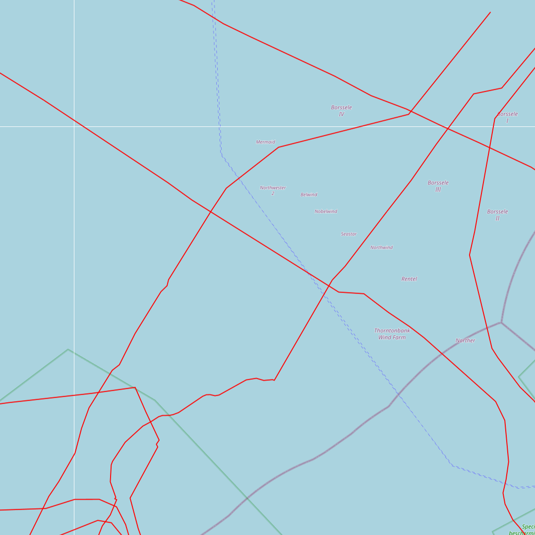
This dataset represents the exact location of active telecommunication cables (verified in 2010) installed in the Belgian Part of the North Sea.
-
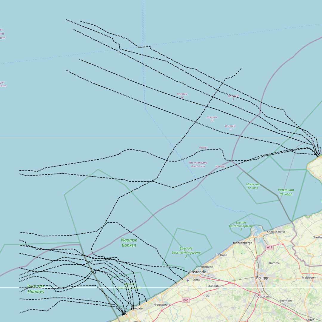
This dataset represents the exact location of disused telecommunication cables installed in the Belgian Part of the North Sea.
-
This dataset is part of the 2024 Belgian submission for the Marine Strategy Framework Directive (MSFD) linked to descriptor 8, criterion 1. This dataset reports concentrations of tributyltin (TBT) compounds in biota (mussels Mytilus edulis and flounder Platichthys flesus) in the Belgian part of the North Sea.