 geo.be Metadata Catalog
Marine Strategy Framework Directive
Type of resources
Available actions
Topics
INSPIRE themes
federalThemes
Keywords
Contact for the resource
Provided by
Years
Formats
Representation types
Update frequencies
Service types
-
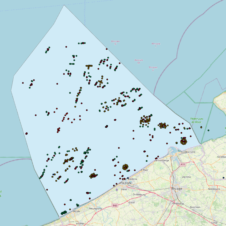
This web service allows viewing the datasets under the Marine Strategy Framework Directive (MSFD).
-

This dataset is part of the 2018 Belgian submission for the Marine Strategy Framework Directive (MSFD) linked to descriptor 6, criterion 1. This dataset describes and maps the the physical loss of the seabed in the Belgian part of the North Sea (BPNS) in the period 2011-2016. The dataset combines the different human activities responsible for a loss of seabed, including wrecks, measuring piles and radar stations, pipelines, power and telecommunication cables with their rock dump, and wind farms. The area lost is mapped and quantified per year, per activity and per benthic broad habitat.
-
This dataset is part of the 2024 Belgian submission for the Marine Strategy Framework Directive (MSFD) linked to descriptor 6, criterion 4. This dataset describes and maps the areal extent of EUNIS level 2 broad-scale habitat types and gravel beds in the Belgian part of the North Sea (BPNS), to assess whether the spatial extent of these habitats fluctuates beyond the accuracy margin of the current distribution maps.
-
This dataset is part of the 2018 Belgian submission for the Marine Strategy Framework Directive (MSFD) linked to descriptor 8, criterion 4. This dataset contains measurements on the 7-Ethoxyresorufin-O-deethylase (EROD) activity in Limanda limanda, Imposex (OTIN in Mytilus edulis), fish diseases and counts of oiled common guillemots in the Belgian part of the North Sea.
-
This dataset is part of the 2024 Belgian submission for the Marine Strategy Framework Directive (MSFD) linked to descriptor 8, criterion 4. This dataset reports the proportion of oiled Common Guillemots (Uria aalge) among stranded seabirds along the Belgian coast, as an indicator of acute oil pollution (environmental target: average proportion of oiled guillemots below 10% of the total found dead or dying on the beaches).
-
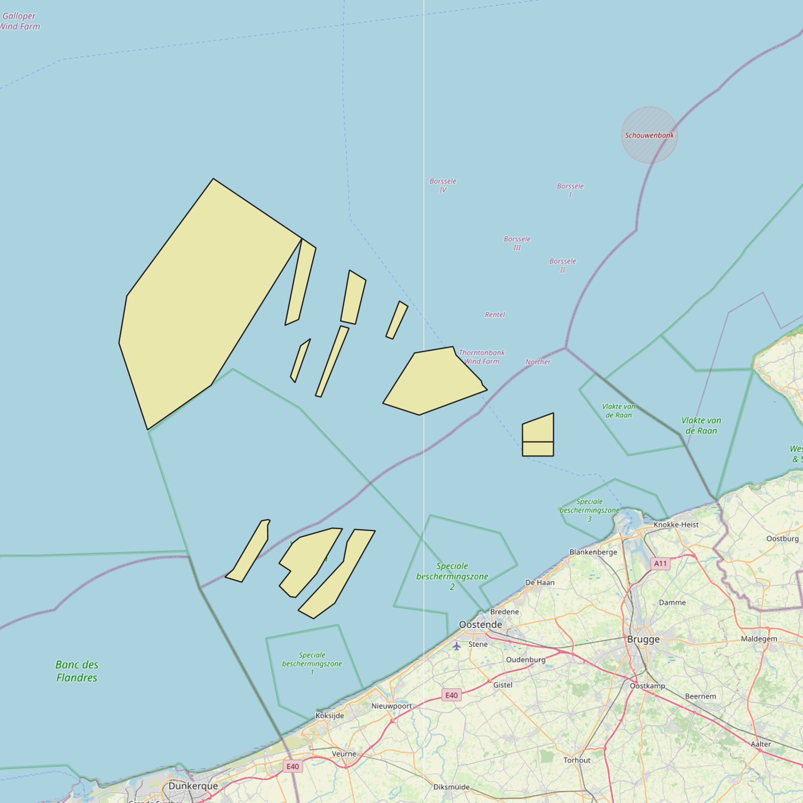
This dataset is part of the 2018 Belgian submission for the Marine Strategy Framework Directive (MSFD) linked to descriptor 1, criterion 2. The Raja clavata dataset describes the results of the Offshore Beam Trawl Surveys (BTS) in the Belgian part of the North Sea (BPNS) between 2010 and 2017. Occurrences of Raja Clavata, along with dates and locations, are reported. The codes used in the attached file are based on the ICES DATRAS (Database of Trawl Surveys) standard. The seabirds dataset describes the density of seabirds (N birds/km) observed in the BPNS between 1987 and 2016 (three surveys a year).
-
This dataset is part of the 2024 Belgian submission for the Marine Strategy Framework Directive (MSFD) linked to descriptor 6, criterion 5. It reports on the condition of benthic habitats in the Belgian part of the North Sea (BPNS), combining soft-sediment macrobenthos monitoring (in the framework of dredge disposal/sand extraction impact assessment, and offshore wind farm monitoring) with natural hard-substrate benthos monitoring, to evaluate adverse effects on the biotic and abiotic structure and function of benthic habitat types.
-
This dataset is part of the 2018 Belgian submission for the Marine Strategy Framework Directive (MSFD) linked to descriptor 8, criterion 2. This dataset contains measurements on the 7-Ethoxyresorufin-O-deethylase (EROD) activity in Limanda limanda, Imposex (OTIN in Mytilus edulis), fish diseases and counts of oiled common guillemots in the Belgian part of the North Sea.
-
This dataset is part of the Belgian submission for the 2018 Marine Strategic Framework Directive (MSFD) and reports on descriptor 1, criterion 6. This dataset describes the soft benthos analysis performed in the Belgian part of the North Sea between 2010 and 2016. Information on the location, date and procedure used for the sediment sampling is povided as well as the description of the species found in the samples. Based on this dataset, the Belgian MSFD reporting concluded that the benthic habitat quality is clearly lower in areas where a certain activity interferes with the environment in an intensive way.
-
This dataset is part of the 2024 Belgian submission for the Marine Strategy Framework Directive (MSFD) linked to descriptor 1, criterion 2. It originates from the ICES DATRAS (Database of Trawl Surveys), which compiles standardised bottom trawl survey data collected from various European waters; for this indicator, the Belgian Beam Trawl Survey (BTS) data from the North Sea were used. The dataset includes species abundance, length and age distributions, catch per unit effort, and environmental parameters, providing key insights on the population abundance of thornback ray (Raja clavata) and lesser-spotted dogfish (Scyliorhinus canicula) for stock assessment and fisheries management.