 geo.be Metadata Catalog
HVD_cat_administrative units
Type of resources
Available actions
Topics
INSPIRE themes
federalThemes
Keywords
Contact for the resource
Provided by
Years
Formats
Representation types
Update frequencies
status
Scale
-

Administrative Units - INSPIRE corresponds to the dataset of the Belgian administrative units that complies with the INSPIRE specifications. This dataset is composed of two classes. The first class contains administrative units and the second class contains administrative boundaries. The class are composed of the following administrative level: Kingdom, Regions, Provinces, and arrondissements, and municipalities. The entire dataset can be downloaded via the ad hoc WFS.
-

Territorial Divisions is the vectorproduct representing the geographical units of Belgium. The product consists of 16 feature types grouped into 4 topics: ‘AdminVector’, ‘Judicial cantons and arrondissements’, ‘Electoral cantons’ and ‘Postal cantons’. The AdminVector dataset includes the statistical, geographical and administrative units of Belgium. The dataset of the judicial cantons and arrondissements displays the geographical units used for the organisation of the courts. The dataset of the electoral cantons consists of geographical units used for the organisation of elections. The dataset of the postal cantons includes the boundaries of the Belgian postal cantons. The product can be downloaded in its entirety via the links in 'Access' at the bottom of this page. Each of the themes is also available as separate datasets on their own webpage.
-
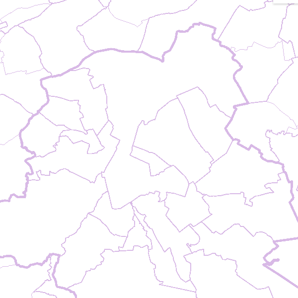
AdminVector is the dataset containing the statistical, geographical and administrative units in Belgium. This dataset consists of 11 feature types. The first feature type included in the dataset are the statistical sectors [statisticalsector] as defined by Statbel. The second feature type comprises the former municipalities [municipalsection]. They do not have an official administrative level. The next six feature types comprise the official administrative units, namely the municipalities [municipality], arrondissements [arrondissement], provinces [province], regions [region], and the borders of the Belgian territory [belgianterritory], including the borders of the territorial waters [belgianmaritimezone]. In addition, there are three feature types available in the form of point elements, namely the centers of the (former) municipalities [municipalsectioncenter] [municipalcenter] and border markers [bordermarker]. This dataset can be downloaded via the links in 'Access' at the bottom of this page.
-

The dataset of the electoral cantons represents the geographical unit used for the organization of the elections. The electoral cantons were digitised based on the definitions in the Annex of the Electoral Code, which is managed by the FPS Home Affairs. The dataset consists of a single feature type, namely the boundaries of the electoral cantons [electoralcanton]. This dataset can be downloaded via the links in 'Access' at the bottom of this page.
-
The dataset of the judicial cantons and arrondissements represents the geographical subdivisions used in the organization of the courts. The dataset was digitized based on the definitions in the ‘Judicial Code – Annex: Definition of jurisdiction and seat of courts and tribunals’, which is managed by the FPS Justice. The dataset consists of 3 feature types, including the boundaries of the judicial cantons [judicialcanton] and arrondissements [judicialarrondissement]. Each judicial canton has at least one peace court [peacecourt], which also constitutes an object type in the dataset. This dataset can be downloaded via the links in 'Access' at the bottom of this page.