 geo.be Metadata Catalog
highway
Type of resources
Available actions
Topics
INSPIRE themes
federalThemes
Keywords
Contact for the resource
Provided by
Years
Formats
Representation types
Update frequencies
status
Scale
-
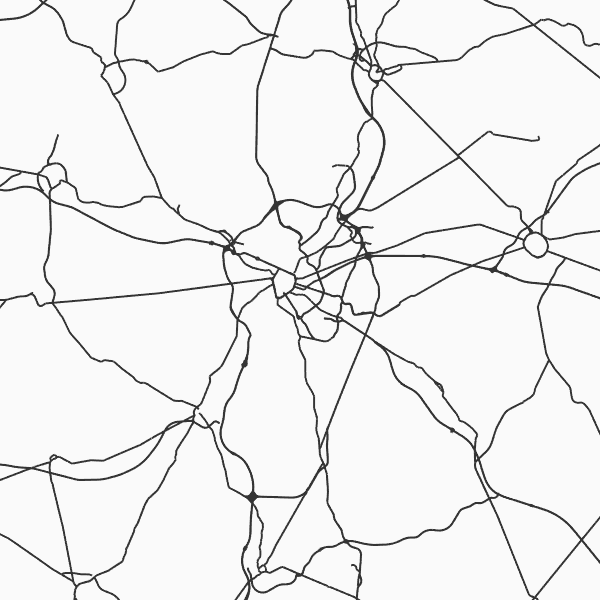
'Top10Vector - Road network' is the vector dataset of the Belgian road network. It contains five feature types including 3 types of segments: road segments [RO_roadsegment], path segments [RO_pathsegment] and dirt road segments [RO_dirtroadsegment]. In addition, there are two other feature types consisting of point elements, namely kilometre markers [RO_roadkilometremarker] and traffic obstacles [RO_obstruction]. The dataset can be downloaded via the links in 'Access' at the bottom of this page.
-
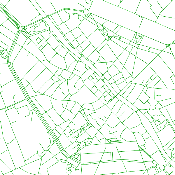
The entities included in the dataset represent the Belgian road transport network in the sense of the Inspire European directive. The dataset comprises several classes. The RoadLink class represents, in a linear manner, all of the road links between each pair of dots for the network considered. The footpaths, cycle paths or carriageways that connect the pairs of dots correspond to as many entities in the class. The RoadServiceArea class represents the sections of space devoted to auxiliary road transport functions, such as service stations or rest areas. In addition to this are two classes without geometry. RoadWidth class describes in metres the width of each segment of the "road links" class. The "functional importance" class ranks the segments of the "road links" class by functional importance on the road transport network.