 geo.be Metadata Catalog
infoFeatureAccessService
Type of resources
Available actions
INSPIRE themes
federalThemes
Keywords
Contact for the resource
Provided by
Years
Formats
Update frequencies
Service types
-
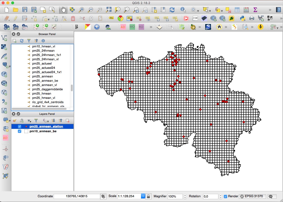
INSPIRE compliant download service for geographic information made available by the Belgian Interregional Environment Agency (IRCEL - CELINE).
-
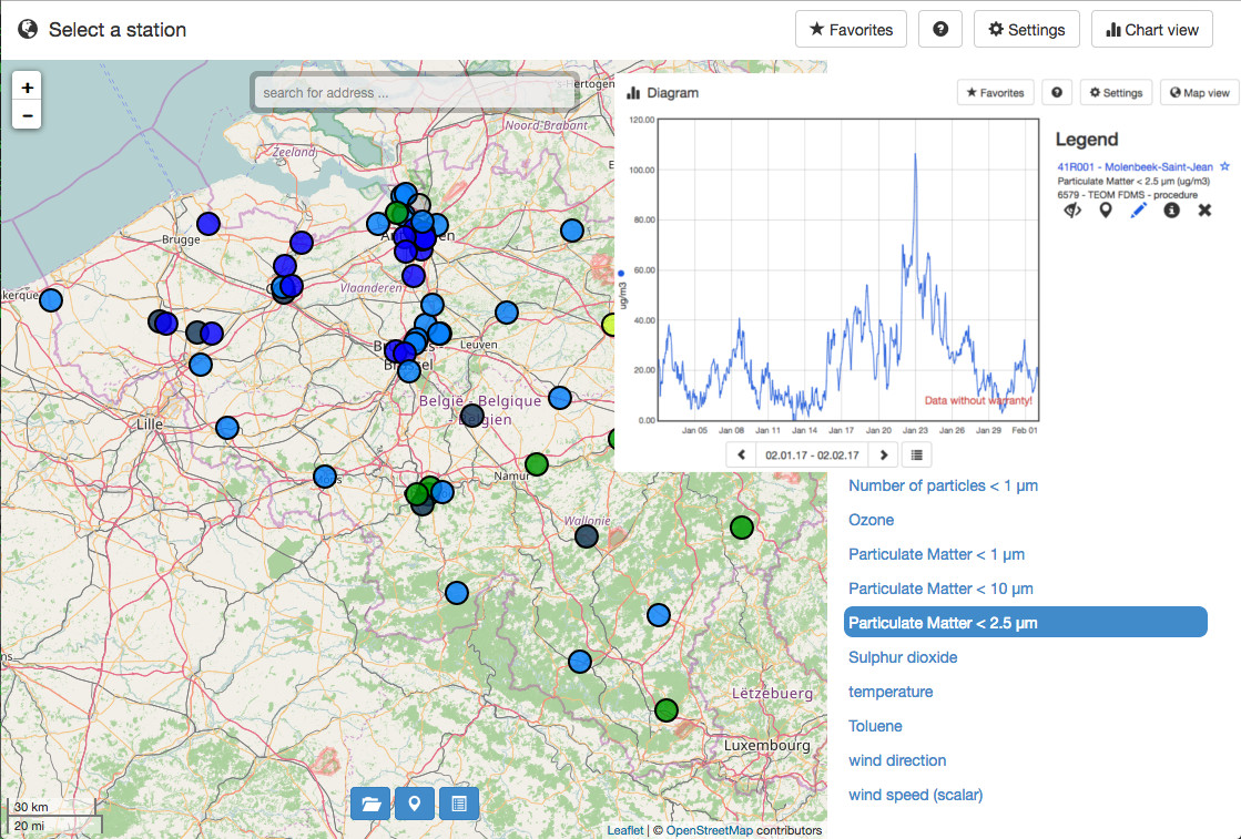
INSPIRE compliant download service for geographic information made available by the Belgian Interregional Environment Agency (IRCEL - CELINE).
-

-

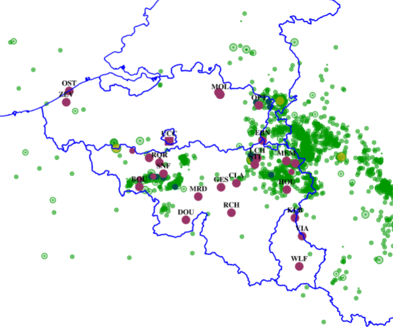
Download Service (WFS) for Synoptic observations
-

Download Service (WFS) for Networks of automatic lidar-ceilometer systems The data are updated each 10 minutes. Only the archives of the last 30 days are available.
-

This is the discovery service of the pan-European spatial datasets provided by the European mapping and cadastral agencies: EuroGlobalMap, EuroRegionalMap, EuroDEM, Open Cadastral Map, Pan-European Imagery, Open Gazetteer. The datasets are openly available accessible on the platform Open Maps for Europe (OME) http://www.mapsforeurope.org/.
-

This AtomFeed download service provides access to federal datasets that are not reported under the INSPIRE Directive. The datasets can be accessible for free or under conditions.
-
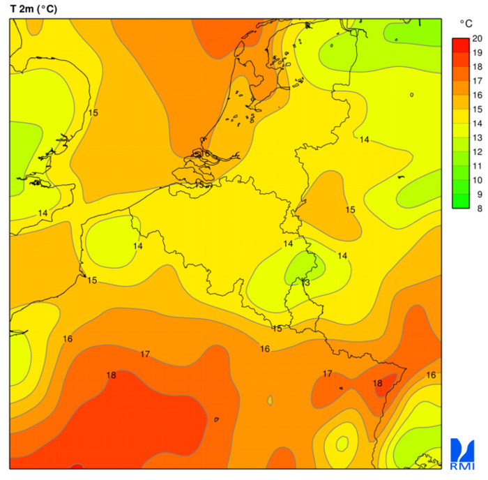
Download Service (WCS) for Alaro over Belgium. All the parameters of the last run of Alaro can be downloaded in grid format
-

INSPIRE compliant download service (WFS) for geographic information of the datasets of the Marine Strategic Framework Directive made available by the Royal Belgian Institute for Natural Sciences (RBINS).
-
This web service allows dowload ROB datasets. This service is compliant with the INSPIRE specifications.