 geo.be Metadata Catalog
geodesy
Type of resources
Available actions
Topics
INSPIRE themes
federalThemes
Keywords
Contact for the resource
Provided by
Years
Formats
Representation types
Update frequencies
status
Service types
Scale
-
Network of marks whose planimetric coordinates are known with precision according to the reference systems which are used in Belgium.
-
The web application G-DOC provides information on all Belgian geodetic reference points. These points can be used as starting points or checkpoints to determine coordinates according to the national reference systems. three groups of geodetic reference points are available: 3D points, altimetric points and planimetric points.
-

Geodetic markers of which the 3D coordinates are precisely known in common Belgian reference systems.
-
Whole of marks whose height with respect to the zero mark of the second general leveling is known.
-
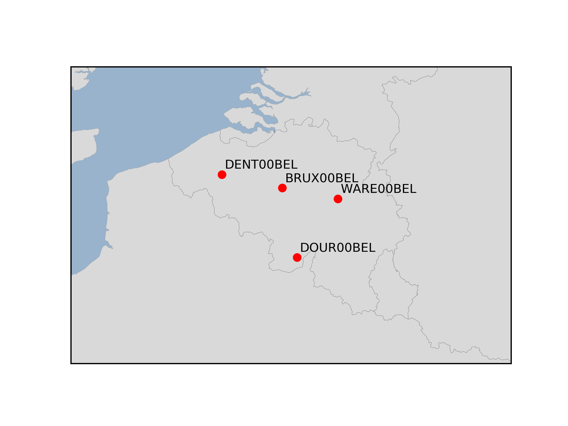
The Royal Observatory of Belgium maintains several continuously observing GNSS tracking stations in Belgium. The stations are also belonging to EUREF Permanent Network (EPN) used to maintain the ETRS89 and the observation data are available to the public through https://doi.org/10.24414/FST8-P256.