 geo.be Metadata Catalog
irregular
Type of resources
Available actions
Topics
INSPIRE themes
federalThemes
Keywords
Contact for the resource
Provided by
Years
Formats
Representation types
Update frequencies
status
Service types
Scale
Resolution
-
Whole of marks whose height with respect to the zero mark of the second general leveling is known.
-
The Royal Observatory of Belgium maintains several continuously observing GNSS tracking stations in Belgium. The stations are also belonging to EUREF Permanent Network (EPN) used to maintain the ETRS89 and the observation data are available to the public through https://doi.org/10.24414/FST8-P256.
-
The web application G-DOC provides information on all Belgian geodetic reference points. These points can be used as starting points or checkpoints to determine coordinates according to the national reference systems. three groups of geodetic reference points are available: 3D points, altimetric points and planimetric points.
-
AdminVector is the vector data set of Belgian administrative and statistical units. It includes various classes. First class: Belgian statistic sectors as defined by the FPS Economy. Second class: municipal sections, with no unanimous definition. The five following classes correspond to official administrative units as managed by the FPS Finance. Other classes are added to these classes, like border markers or the Belgian maritime zone. The boundaries of the seven first classes are consolidated together in order to keep the topological cohrence of the objects. This data set can be freely downloaded.
-

Geodetic markers of which the 3D coordinates are precisely known in common Belgian reference systems.
-

The product is made of 6 "high resolution layers" covering all the Belgian territory as part of a European-wide coverage. The 6 layers concern 6 distinct themes: Imperviousness, Tree cover density, Forest type, Permanent grasslands, Wetlands and Permanent waterbodies. The 6 layers were produced by an automatic classification based on satellite images and collateral data and achieved by private companies (EEA service providers), and they were verified and enhanced by Belgium. At the Belgian level, verification and enhancements were made by AGIV for the northern part and SPW for the southern part. The NGI coordinated the project.
-
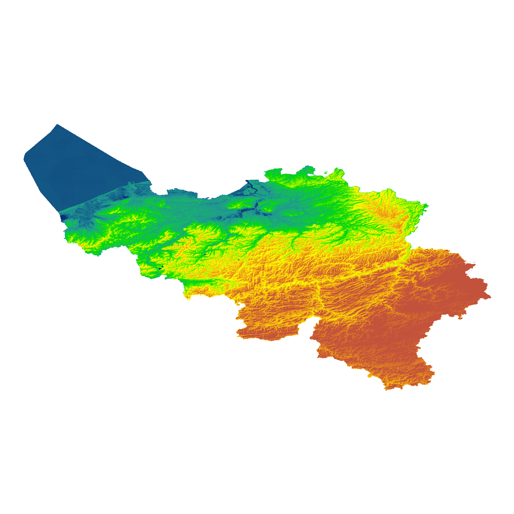
The eTOD digital terrain model (DTM) is a homogeneous and regular point grid indicating the elevation of the ground level in order to make a model of its surface. This DTM is obtained by resampling raw altimetric source data from the Flemish and Walloon Regions, grouped in Lambert 72 and with a resolution of 1 m; as well as data obtained internally by direct photogrammetric recording of structure points and lines based on the most recent aerial photographs for all areas not covered by regional data. For this DTM, the resolution and coordinate reference system are used as defined by the eTOD specifications.
-
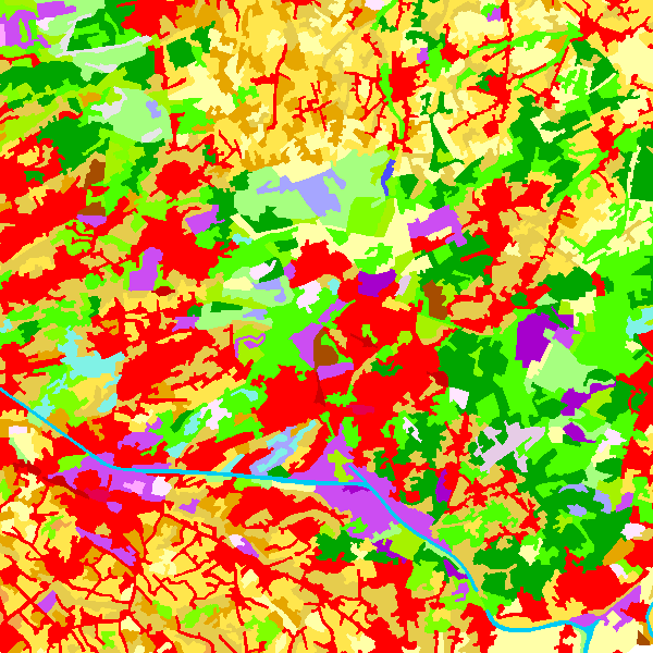
The data set contains a seamless polygonal layer representing the land cover in Belgium for the year 2006 and the year 2012. The polygons are spread over 32 classes from the CORINE Land Cover legend which are present un Belgium. The minimum map unit is 25 ha. The conceptual scale is 1:100 000. The data set also contains a polygon layer showing changes of more than 5 ha in the land cover between 2006 and 2012.
-

Top10Vector – Hydrography is the data set of the Belgian hydrography. This data set includes six classes. First class: waterway kilometre markers of the Belgian navigable waterways. Second class: watercourse surfaces. Third class: watercourse segments. Fourth class: water points, which means points where the water arrives at the surface or disappears into the subsoil. Fifth class: wetlands, which means zones where the soil is saturated or regularly flooded. Sixth class: water surfaces. This data set can be bought via the corresponding hyperlink.
-

Top10Vector – Local topography is the data set of the Belgian orography. This data set includes eight classes. First class: earth banks. Second class: additional geometry of the slope surface. Third class: dune zone. Fourth class: historic mounds. Fifht class: cave entrances. Sixth class: cone-shaped slag heap. Seventh class: steep. Eightth class: embanlments. This data set can be bought via the corresponding hyperlink.