 geo.be Metadata Catalog
police
Type of resources
Available actions
Topics
INSPIRE themes
federalThemes
Keywords
Contact for the resource
Provided by
Years
Formats
Representation types
Update frequencies
status
Service types
Scale
-
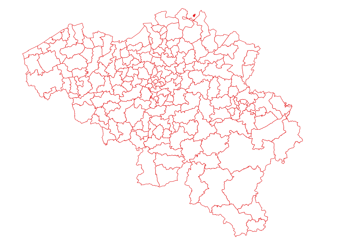
Police zones corresponds to the dataset of the territorial delimitation of the police areas such as defined by the Royal Decrees of April 28th 2000 in accordance with the law of December 7th 1998 organising an integrated police service. This dataset is composed of two classes. The first class contains the identifiers, names and geometries of the various areas; the second is a class without geometry and corresponds to the table of Belgian municipalities with the police area for each of them. The dataset can be freely downloaded as a zipped shapefiles.
-
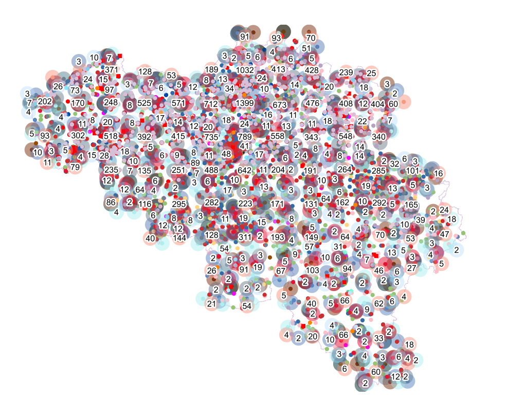
Points Of Interest - Elements of general interest contains point elements that are classified as being of general interest, namely embassies, (federal, regional, provincial, municipality) buildings, Govroam, court houses, prisons, police stations, post offices, education, sports buildings and infrastructure, cultural places and centres, libraries and archives, attraction-, recreation-, water- and wildlife parks, camp sites, museum, provincial domains, observatory, observation points, swimming pools, chemist's, crematorium, fire station, civil defence and healthcare in Belgium.
-

This dataset contains a set of Points Of Interest (POI) indicating the location of places of interest in Belgium, collected by NGI. The dataset consists of 97 POI types grouped into 6 classes (natural elements, cult elements, patrimonial elements, elements of general interest, infrastructures, economy). POI types that have a link with the NGI topographic reference data are systematically monitored to ensure consistency between these data. But for other POI types, there is no guarantee of completeness and correctness. These are updated ad hoc when an error or incompleteness is noticed.
-
This web service allows visualization of the Points Of Interest (POI) indicating the location of places of interest in Belgium, collected by NGI. The dataset consists of 97 POI types grouped into 6 classes (natural elements, religious elements, patrimonial elements, elements of general interest, infrastructures, economy).