 geo.be Metadata Catalog
Belgian part of the North Sea
Type of resources
Topics
INSPIRE themes
Keywords
Contact for the resource
Provided by
Years
Formats
Representation types
-
2019 Belgian MSP - Princess Elizabeth Zone for renewable Energy in the Belgian Part of the North Sea
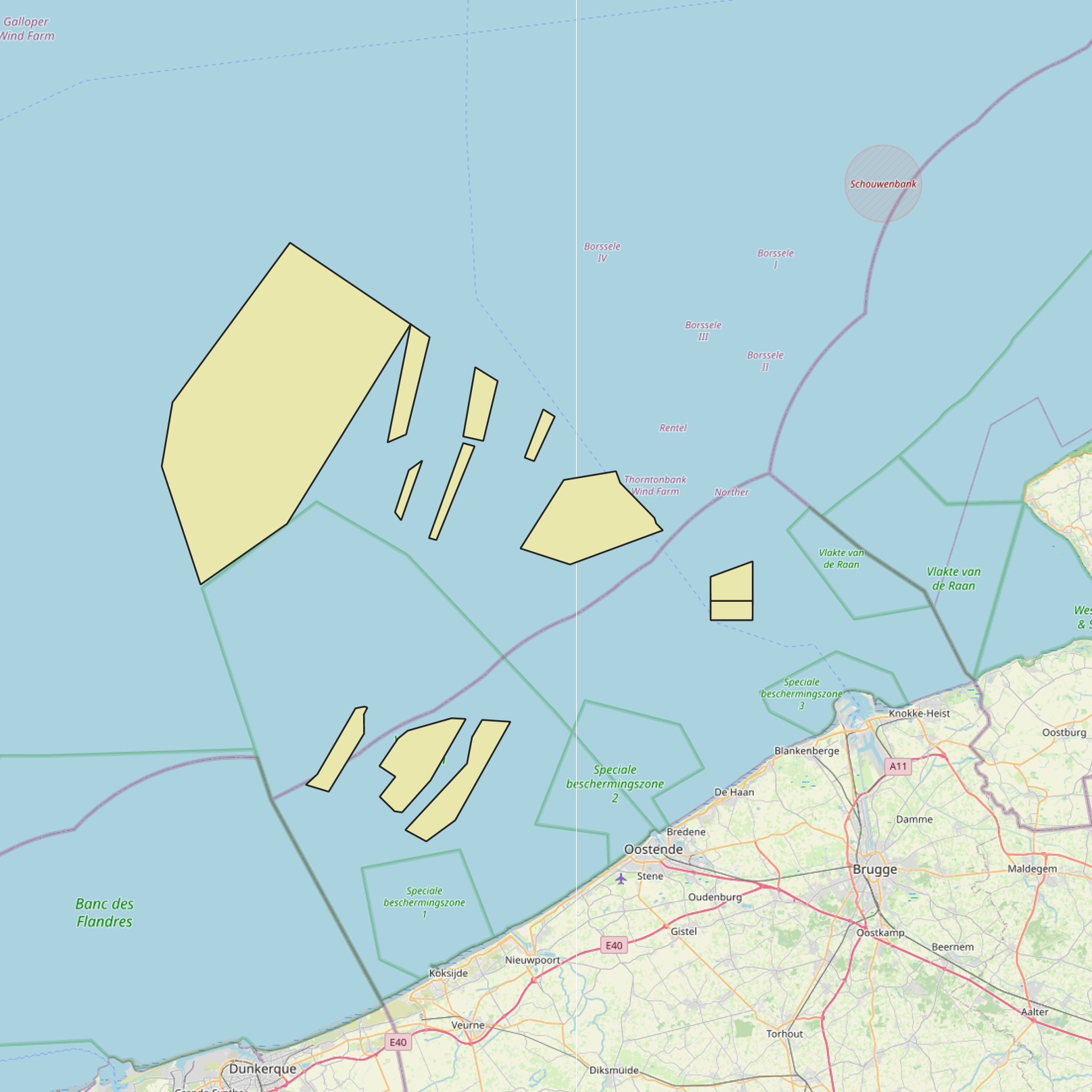
This dataset represents the location of the Princess Elizabeth zone in the Belgian Part of the North Sea as described in the Royal Decree of May 22th, 2019, establishing a marine spatial plan for the period 2020-2026. Art. 8. § 3.
-
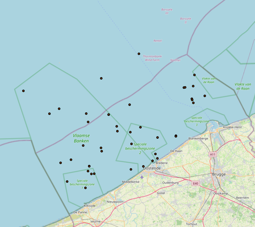
This datasets is a summary of the CTD profiles measured with the RV Belgica. It provides general meta-information such as the campaign code, the date of measurement and the geographical information. An important information is the profile quality flag that describes the validity of the data. A quality flag = 2 means the data is generally good although some outliers can still be present. A quality flag = 4 means the data should not be trusted. 1 meter binned data can be download on the SeaDataNet CDI portal (enter the cruise_id in the search bar) ONLY for the good quality profiles. Full acquisition frequency datasets are available on request to BMDC.
-
This dataset is part of the 2018 Belgian submission for the Marine Strategy Framework Directive (MSFD) linked to descriptor 1, criterion 2. The Raja clavata dataset describes the results of the Offshore Beam Trawl Surveys (BTS) in the Belgian part of the North Sea (BPNS) between 2010 and 2017. Occurrences of Raja Clavata, along with dates and locations, are reported. The codes used in the attached file are based on the ICES DATRAS (Database of Trawl Surveys) standard. The seabirds dataset describes the density of seabirds (N birds/km) observed in the BPNS between 1987 and 2016 (three surveys a year).
-

This dataset is part of the 2024 Belgian submission for the Marine Strategy Framework Directive (MSFD) linked to descriptor 1, criterion 1. It reports the mortality rate of marine mammals, in particular harbour porpoise (Phocoena phocoena), from incidental bycatch in the Belgian part of the North Sea, combining strandings investigations, reported incidental catches and aerial abundance surveys.
-
This dataset is part of the 2018 Belgian submission for the Marine Strategy Framework Directive (MSFD) linked to descriptor 8, criterion 2. This dataset contains measurements on the 7-Ethoxyresorufin-O-deethylase (EROD) activity in Limanda limanda, Imposex (OTIN in Mytilus edulis), fish diseases and counts of oiled common guillemots in the Belgian part of the North Sea.
-
This dataset is part of the 2024 Belgian submission for the Marine Strategy Framework Directive (MSFD) linked to descriptor 8, criterion 3. This dataset gives an overview of the observed slicks during aerial survey operations of the Belgian part of the North Sea (2016-2021). Besides this, all observations of illegal discharges of MARPOL annex I and II substances are included as an additional dataset.
-
This dataset is part of the 2018 Belgian submission for the Marine Strategy Framework Directive (MSFD) linked to descriptor 1, criterion 3. Occurrence of breeding seabirds describes the observation of eight seabird species (Common tern, Black-headed Gull, Herring Gull, Common Gull, Small Black-backed Gull, Yellow-legged gull, Big Stern and Little Stern) on the Belgian coast between 1992 and 2015.
-
The Royal Decree of 20 March 2026 establishing the marine spatial plan for the period 2026 to 2034 in the Belgian marine areas defines 1 cultural heritage (wrecks) zones: Protected shipwrecks (Art. 26§1). It replaces the 2020 Marine Spatial Plan. Please refer to the Belgian official gazette ("Moniteur belgeBelgisch Staatsblad") for official reference information.
-
This dataset is part of the 2024 Belgian submission for the Marine Strategy Framework Directive (MSFD) linked to descriptor 6, criterion 4. This dataset reports the ratio of hard-substrate surface area (colonised by hard-substrate epifauna) to soft-sediment surface area in the Belgian part of the North Sea (BPNS), which should not show a negative trend.
-
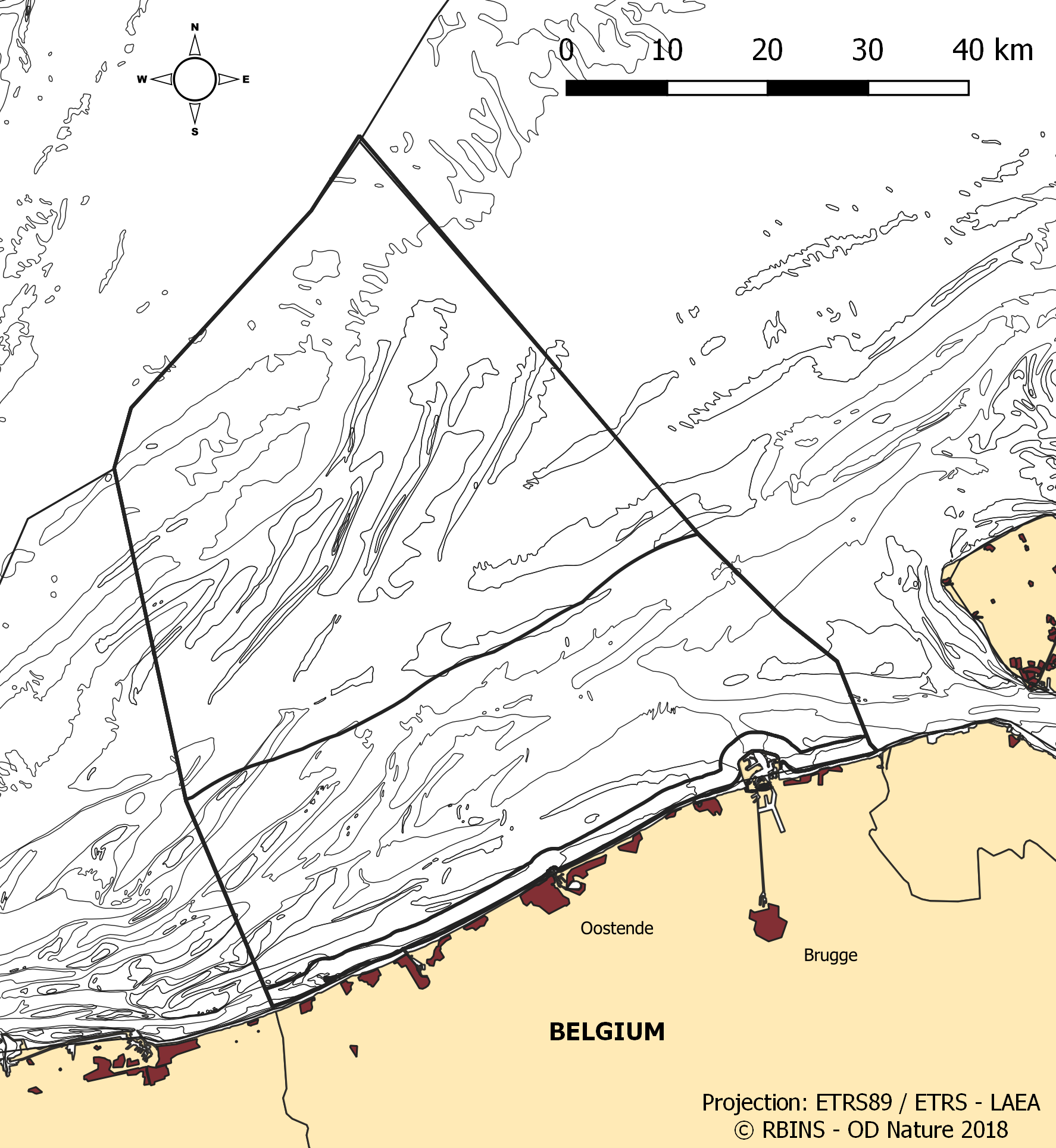
The dataset contains the borders of the Belgian marine waters in the North Sea and the different geographical areas (‘reporting units’) used when reporting in the frame of the the Marine Strategy Framework Directive 2008/56/EC (MSFD) and the Water Framework directive 2000/60/EC (WFD). The ecological status in the frame of WFD is reported for the coastal waters, defined as the one-nautical mile area, while the chemical status needs to be reported for the territorial waters (up to 12 nautical miles). MSFD requires information for the whole area, encompassing the territorial waters and the Belgian Exclusive Economic Zone. For some descriptors, results have been reported separately for the WFD subdivisions during the update of the initial assessment in 2018.